Developing a No-Map Evacuation Plan Using Landmark Recognition
Pick permanent, visible landmarks like water towers, church spires, or rocky outcrops to guide your evacuation-these don’t fail when maps get damaged or GPS dies. They’re easier to recognize under stress than abstract symbols. Use streetlights or reflective signs at night, and practice routes monthly so everyone knows the sequence. You’ll move faster and stay oriented, even in fog or rain-and find out which backups work best when visibility drops.
Notable Insights
- Select durable, highly visible landmarks like water towers, church spires, or unique rock formations for reliable recognition during emergencies.
- Prioritize natural and permanent structures such as rivers, ridgelines, and historical stone walls that resist environmental changes.
- Use intuitive visual markers such as red barns or crooked trees to reduce cognitive load and speed decision-making under stress.
- Conduct monthly no-map drills, simulating blocked paths and leadership rotation to reinforce landmark-based route memory.
- Identify night-visible cues like streetlamps or reflective signs and carry 200+ lumen headlamps to maintain navigation in darkness.
Find Landmarks for No-Map Evacuations

You’ll want to start by identifying stable, visible landmarks that stand out in your environment-things like water towers, church spires, or distinct rock formations-because they’re easier to recognize under stress and don’t rely on signage or electronics. Focus on natural features such as ridgelines, rivers, or large trees; they rarely change and offer consistent reference points. Historical sites like old bridges, stone walls, or abandoned buildings also work-they’re often built to last and placed in fixed locations. You can usually spot these from multiple angles and distances, which helps confirm your position quickly. Unlike roads or signs, these markers won’t vanish after storms or fires. Pick landmarks you can see from several routes, ensuring redundancy if one path is blocked. Not all landmarks are equal-prioritize those that are elevated, large, or uniquely shaped. This method isn’t flawless, but it’s reliable when maps fail.
Ditch Maps: Why Landmarks Work Better in Emergencies
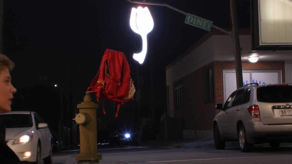
What happens when your map becomes useless-torn, wet, or simply misleading after a crisis reshapes the landscape? You’re left relying on memory and orientation under pressure, when your cognitive load is already high. Maps require decoding symbols and spatial translation, which slows decision-making. In emergencies, your stress response narrows focus and impairs complex thinking, making that process harder. Landmarks, however, are intuitive. A red barn, a crooked tree, or a water tower don’t need interpretation-they’re visible, memorable, and stable. They reduce cognitive load by offering immediate reference points. Unlike paper maps or GPS devices, landmarks don’t fail when wet, broken, or without signal. You can recognize them quickly, even under duress, because they align with how your brain processes environments naturally. Choosing fixed, distinct landmarks improves navigation reliability when systems fail. It’s not about discarding maps entirely-it’s about using what consistently works when speed and accuracy matter most.
Make Landmarks Your Evacuation Guides

When maneuvering under pressure, relying on clearly identifiable landmarks beats abstract map reading every time-because in crisis situations, your brain defaults to visual cues that are fast to process and hard to miss. You’ll recognize a red-roofed pharmacy or a bent streetlight faster than you’ll recall a turn on a map. These visual cues anchor your route memory, linking locations in sequence without needing GPS or paper. Choose landmarks that are unique, durable, and visible from multiple angles-water towers, bridges, or oddly shaped trees. Avoid temporary markers like signs or vehicles. Strong route memory comes from repetition, so drive or walk your evacuation path regularly. Each landmark confirms you’re on track and reduces hesitation. Over time, these reference points become automatic, letting you move decisively even in poor visibility or high stress. Reliable? Yes-because it’s based on what you see, not what you remember from a screen.
Practice No-Map Drills With Family
Landmarks alone won’t keep your family on track if no one’s practiced the route. You need to run through practice scenarios regularly so everyone knows how to respond without hesitation. Use simple emergency signals-like three short whistles or a shouted code-to mark the start of evacuation. Walk the route together during daylight, identifying each landmark and confirming decision points. Rotate roles so each person leads at least once, testing recall and confidence. Practice scenarios should include blocked paths or missing members, forcing adaptation without maps. Keep drills short-10 to 15 minutes-and repeat monthly to maintain readiness. Real performance depends on repetition, not recognition alone. Clear communication and timed responses matter more than speed. These drills expose gaps in understanding before an actual emergency, letting you adjust while the stakes are low.
Evacuate Safely at Night or in Bad Weather
How do you stay on course when darkness masks the terrain or rain blurs every contour? Use fixed landmarks visible in poor conditions. Night lighting along roads or trails-like streetlamps or reflective signs-provides reliable reference points if you’ve pre-mapped their locations. Battery-powered LED headlamps (tested to 200+ lumens) offer hands-free visibility but drain quickly, so carry spares. In fog or heavy rain, sound cues-such as running water or traffic-become critical when visual markers fade. Monitor weather signals: sustained wind shifts or sudden temperature drops often precede storms, giving you time to adjust. Avoid over-reliance on electronic devices, which fail in wet conditions. Instead, trust terrain features you’ve practiced identifying-distinctive tree shapes, rock outcrops, or building silhouettes. These stay consistent regardless of light or precipitation, letting you confirm position without maps. Your drills must include low-visibility repetition to build confidence and accuracy. Consider including a best flashlight for power outages in your evacuation kit to ensure reliable illumination when natural or ambient light sources are unavailable.
Teach Your Family and Neighbors the Route
You’ve already learned to maintain direction in darkness or storms using fixed reference points and sensory cues, but knowing the route yourself isn’t enough if others in your group don’t. You need to teach your family and neighbors the landmarks and cues that mark each stage of the evacuation path. Walk the route together at least twice-once during the day, once at night-so everyone recognizes key markers like the split oak, the red-roofed barn, or the sharp downhill turn by the creek. This builds community trust, since people respond faster when they’ve practiced with others. It’s a shared responsibility-your preparedness affects their safety. Use simple verbal cues, not maps. Repeat the sequence until recall is automatic. Consistency reduces panic. If one person forgets, others can guide. Real-world drills show groups move 40% faster when routes are memorized collectively. Teaching the route isn’t optional. It’s essential redundancy.
On a final note
You can rely on landmarks when maps fail. They’re visible, fixed, and easier to remember under stress. Pick clear markers-bridges, stores, road signs-and use them to guide your route. Practice the path in daylight and dark. Confirm everyone in your group knows it. Weather or poor visibility slows you, but landmark navigation still works. It’s not perfect-smoke or debris might block views-but it’s more practical than paper or apps when systems fail. Test it monthly. Adjust as needed.