Evaluating the Risk of Flash Freezing on Roadways
You’re at risk when wet roads meet sudden cold, even if the air reads above freezing. Pavement cools faster than air, and ice can form at 32°F or lower-common on bridges and shaded roads. Flash freezes strike fast, especially overnight, and forecasts often miss surface-level changes. Your car’s thermometer won’t tell the full story. Slow down, keep space, and stay alert. The smart move? Assume danger until you know the ground truth.
Notable Insights
- Flash freezing occurs when wet road surfaces rapidly cool below 32°F, forming ice even without snow or rain.
- Bridges and overpasses freeze first due to exposure to cold air above and below.
- Road surfaces can freeze at temperatures above freezing if dew point and humidity allow moisture condensation.
- Flash freezes are most likely at night or early morning when temperatures drop and skies are clear.
- Vehicle thermometers show air, not road temperature, so they may underestimate icy pavement risks.
What Triggers a Flash Freeze on Roads?
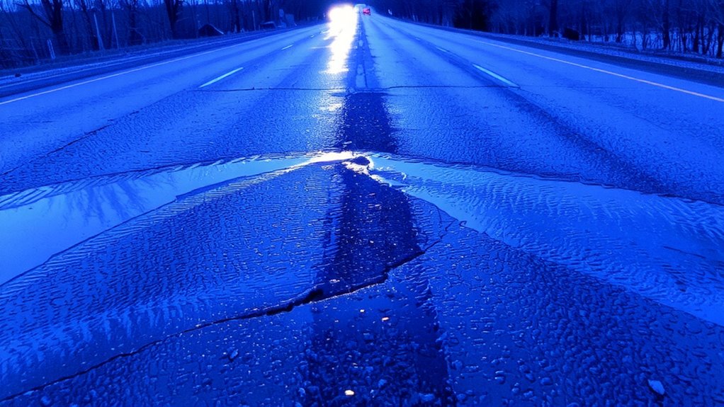
When moisture is already on the road and temperatures suddenly drop below freezing, you’re looking at the perfect setup for a flash freeze. The road surface, even if it looks damp, can quickly turn slick as the existing moisture level shifts from liquid to ice. This change happens fast-sometimes within minutes-especially when the air cools rapidly after rain, snowmelt, or morning dew. You don’t need heavy precipitation; even a thin film of water is enough. The risk increases on bridges and overpasses since they lose heat from both top and bottom. Asphalt may insulate slightly, but once the surface temperature hits 32°F or lower, ice forms. Monitoring both road surface temps and moisture level helps gauge danger. Conditions can go from wet to hazardous without warning, making timing and observation critical. There’s no margin for error-what looks like a damp road can become an ice sheet in seconds.
Why Roads Freeze When Air Temperatures Don’t
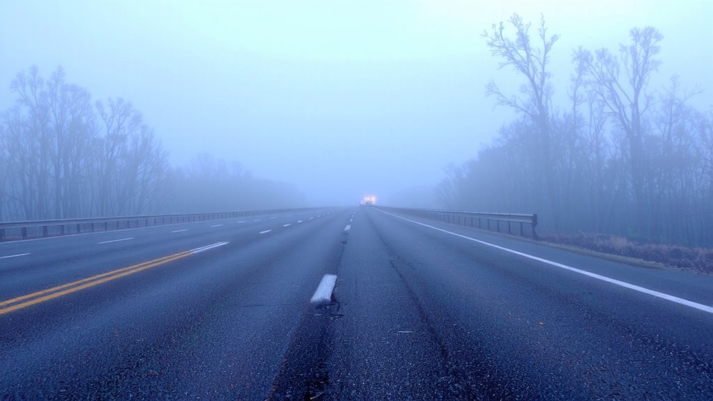
Roads can ice over even if the air temperature stays above freezing, and that catches a lot of drivers off guard. That’s because the road surface cools faster than the air, especially on clear, calm nights. If the surface drops to or below freezing, moisture from the air can freeze on contact-even if the air above reads 35°F or higher. The dew point matters here: when air is humid and the dew point is close to freezing, condensation forms more easily on the cold road surface. That moisture then freezes, creating a thin, dangerous layer of ice. It’s not about air temperature alone-it’s about what the pavement is actually experiencing. You can’t rely on your car’s thermometer, which measures air temp, not road temp. Real risk comes when road surface and dew point align just right, letting ice form silently, without warning.
When and Where Flash Freezes Happen Most
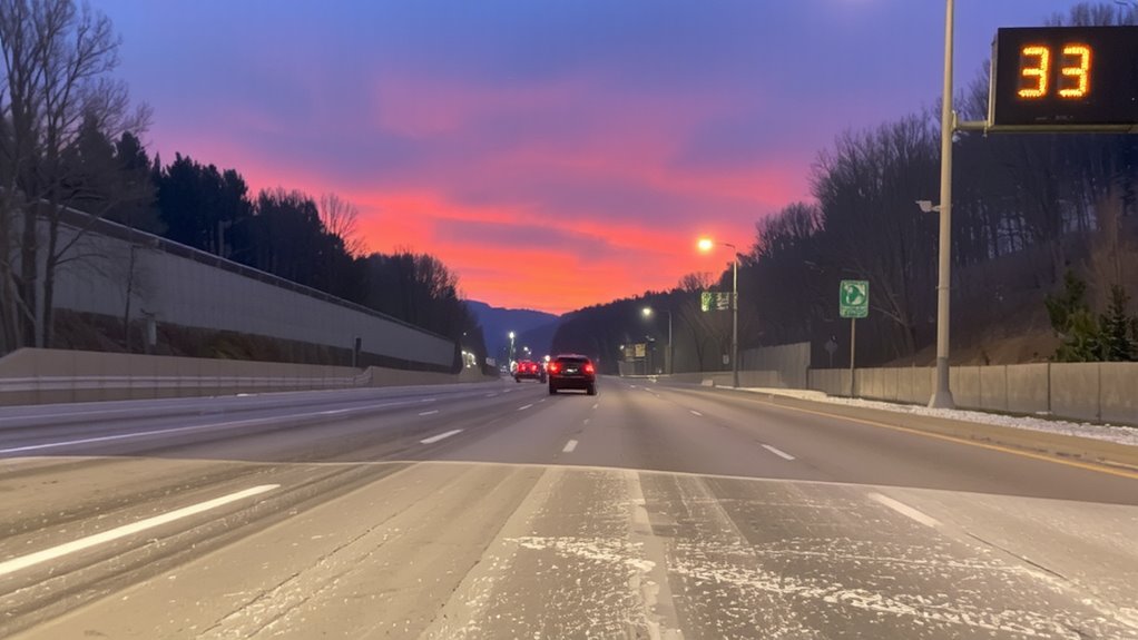
How often do you hit the road late at night or early in the morning without thinking twice about ice? Flash freezes most often occur during these hours when wet surfaces cool rapidly. You’re at higher risk in geographic hotspots like overpasses, bridges, and shaded areas, where heat escapes faster. Seasonal patterns show increased danger in fall and early spring, when daytime rain meets freezing overnight lows. Rural roads see more incidents due to limited monitoring, while urban areas face risks near tunnels and elevated structures.
| Time of Day | Risk Level | Reason |
|---|---|---|
| Late Night | High | Dropping temps meet wet roads |
| Early Morning | High | Overnight moisture freezes |
| Midday | Low | Sunlight raises surface temps |
| Afternoon | Low | Melting reduces ice formation |
Can Forecasts Predict Dangerous Road Ice?
What good is a weather forecast if it doesn’t tell you the road’s going to ice over? You rely on forecasts to plan travel, but predicting road ice isn’t straightforward. Model accuracy has improved, yet it still struggles with micro-variations in temperature and moisture near the surface. Data limitations mean sensors aren’t always where they’re needed-rural roads, bridges, and overpasses often lack real-time monitoring. Even high-resolution models can’t always capture how fast conditions change during a flash freeze. You might see “rain changing to snow,” but that doesn’t warn you about ice forming on pavement cooled below freezing. Forecasters do their best, but the gap between atmospheric data and road-level reality remains wide. You’re often left making judgment calls with incomplete information, which is risky when seconds matter.
How to Stay Safe in a Flash Freeze
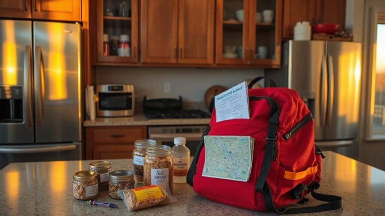
When the temperature drops fast and wet roads turn slick in minutes, knowing how to respond matters more than waiting for a perfect forecast. You need to act fast: reduce speed and increase following distance to preserve vehicle traction, which can vanish on black ice. Avoid sudden braking or steering-smooth inputs prevent skids. Keep headlights on, not for visibility but so others see you. If you must stop, do it off the roadway. Emergency preparedness means having a survival kit: blankets, flashlight, water, and non-perishable food. Tire chains help but only if legally allowed and applied before conditions worsen. No all-season tire matches true winter rubber below -7°C. Consider carrying traction aids like sand or cat litter. Staying alert and prepared beats relying on gear alone.
On a final note
You face real danger when roads flash freeze, even if the air’s above freezing. Wet surfaces cool faster than air, forming invisible ice in minutes. Morning and evening commutes carry the highest risk, especially on bridges and shaded roads. Forecasts help, but they can’t catch every microclimate. Your best defense is slow driving, increased following distance, and winter-rated tires. They outperform all-season ones on ice. Anticipate risk-don’t rely on predictions alone.