How to Evaluate Your Home’s Vulnerability to Storm Surge Inundation
Check your home’s elevation-lots below 10 feet are at high risk. Use FEMA flood maps to see if you’re in Zone V or AE, which face serious surge threats. Look at nearby barriers like dunes or mangroves; intact ones help, but damaged ones increase risk. Make sure tidal gates aren’t trapping water near your property. Plan two evacuation routes using official maps and confirm shelter access. Rising seas mean today’s safe spot may not stay that way-know how your risk is changing over time.
Notable Insights
- Determine your home’s elevation using survey tools or government data to assess risk, especially if below 10 feet above sea level.
- Check FEMA Flood Insurance Rate Maps to identify if your property lies in high-risk surge zones like Zone V or AE.
- Evaluate nearby natural barriers such as dunes, mangroves, or berms that may reduce wave impact and flooding potential.
- Analyze terrain and drainage around your home to spot areas where storm water could collect or flow during a surge.
- Review official evacuation routes and shelter locations to ensure safe, elevated access during storm emergencies.
Check How High Your Home Sits Above Sea Level
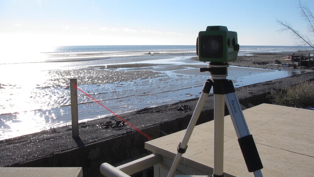
Ever wonder how likely your home is to flood during a storm surge? You need an elevation assessment to find out. Knowing your property’s height above sea level gives you a clear idea of flood risk. Most surge events start impacting areas below 10 feet, so if your home sits low, you’re more vulnerable. Use professional survey tools or local government data to get accurate measurements. Pair this with terrain analysis to understand how water might flow around your home. Flat or concave land increases pooling and risk. Elevated lots on ridges or natural berms offer real protection. Don’t guess-verify your elevation and the lay of the land. A few feet can determine whether water reaches your foundation. Accurate elevation assessment and terrain analysis provide measurable, actionable facts. They’re essential for informed decisions about safety, insurance, and preparation.
Use Flood Maps to Find Your Storm Surge Zone
While you can estimate flood risk based on elevation alone, using official flood maps gives you a more accurate picture of your storm surge zone. The Federal Emergency Management Agency (FEMA) provides flood zone data through its Flood Insurance Rate Maps (FIRMs), which classify areas by flood risk. You’re likely in a high-risk zone if your home falls within Zone V or Zone AE. These flood zones reflect both surge height and wave action potential. Check the maps online via the FEMA Flood Map Service Center-enter your address to pull up your property’s designation. This step is essential for a realistic risk assessment. Don’t rely on memory or local assumptions; map data is updated and based on modeling. Knowing your exact flood zone helps determine insurance needs, evacuation planning, and potential retrofitting steps. It’s a factual baseline-not a guess.
See How Nearby Barriers Block or Trap Storm Water
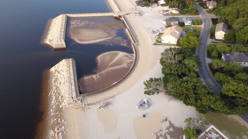
Flood maps show your official risk level, but what actually happens during a storm depends on the physical features around your property. Nearby barriers can block storm water, but they might also trap it. Coastal vegetation like mangroves or dunes helps absorb wave energy and reduce surge flow-you’re less exposed if these exist near you. Check if they’ve been damaged or removed; degraded vegetation offers less protection. Man-made structures such as tidal gates control water movement in and out of estuaries or canals. When working, they prevent seawater from backing in during high tides or storms. But if they malfunction or close too late, they can hold floodwater inland longer. Inspect local tidal gates-know their condition and operation schedule. Not all barriers help. Some redirect water toward your area. Walk your property’s perimeter and observe how water might pool or be forced around obstacles. These details refine your real risk beyond what the map shows.
Map Your Evacuation Route and Nearest Shelter
How will you get out when the storm hits and roads start flooding? Start evacuation planning now by mapping at least two inland routes, since some roads may become impassable. Use official evacuation maps from local emergency management-they’re updated annually and account for current infrastructure. Check each route for elevation changes and known flood zones; higher ground improves your odds. Shelter accessibility matters-confirm the nearest public shelters are open, staffed, and equipped for medical needs or pets if necessary. Not all shelters accept animals, so plan accordingly. Verify distances and drive times under heavy traffic, simulating evacuation conditions. If you rely on public transit, coordinate with local services ahead of time. Keep printed copies of routes and shelter locations in your car; phone signals often fail during storms. This step isn’t optional-evacuation planning saves lives when every minute counts.
See How Climate Change Is Raising Your Surge Risk
You’ve mapped your exit routes and identified shelters, but there’s one factor that can rapidly change those plans: rising storm surge risks driven by climate change. Sea level rise is lifting baseline water levels, so storms push surges farther inland than before. What once stayed behind dunes now reaches roads and homes. Coastal erosion worsens this by flattening natural barriers like beaches and bluffs, leaving your property more exposed. Data shows many areas face annual flood risks up to 30% higher than two decades ago. You can check NOAA’s sea level rise viewer to see how your zone changes under different climate scenarios. Don’t assume past storm behavior predicts future ones-what delayed surge before might not hold. Evaluate your home’s elevation relative to current flood maps, then adjust plans for projections 10–20 years out. Protection methods like seawalls have limits, especially as wave energy increases. Relying on outdated risk models underestimates danger.
On a final note
You know your home’s elevation, flood zone, and nearby barriers-now you can act. Storm surge risk is real, and climate change is raising the stakes. Map your evacuation route and shelter ahead of time; seconds count. Rely on facts, not luck. Use tools like flood maps and elevation data to make clear-eyed choices. Preparedness trumps reaction every time.