How to Navigate Using GPS in Urban Disaster Zones With No Landmarks
You’ll rely on GPS when landmarks vanish, but urban canyons cause signal bounce and 50-meter errors. Pre-load offline maps-they work without cell service. Save hospitals and shelters as waypoints; label them clearly. Use compass mode if GPS fails, but calibrate it often. Choose GPS devices with replaceable batteries and 5,000mAh+ power banks for 12+ hours runtime. Pair satellite navigation with basic orienteering-because signals aren’t guaranteed. Better preparation means fewer surprises later.
Notable Insights
- Use offline maps pre-loaded on your device to maintain navigation when cellular networks are down.
- Save critical locations as labeled, color-coded waypoints to identify shelters or medical stations without landmarks.
- Enable compass mode and calibrate it regularly to maintain directional accuracy during GPS signal loss.
- Rely on multi-constellation GPS devices to reduce urban canyon signal errors and improve position fixes.
- Conserve battery with low-power settings and carry a solar-compatible power bank for extended GPS use.
Why GPS Fails in Urban Disaster Zones
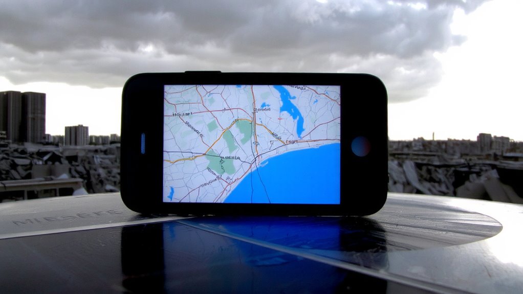
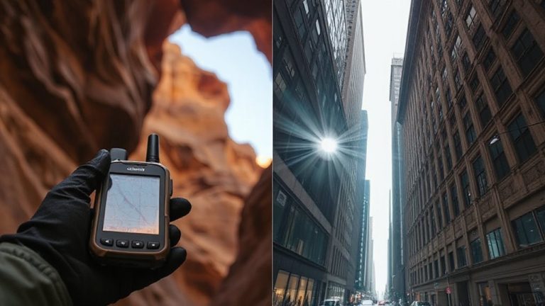
Even though GPS works well in open areas, it often fails in urban disaster zones because tall buildings block and reflect satellite signals. You’ll face signal interference when structures obstruct direct line-of-sight to satellites, weakening or cutting reception. Multipath errors occur when signals bounce off concrete and steel before reaching your device, creating inaccurate position calculations. These reflected signals travel longer paths, confusing the receiver and skewing location data by up to 50 meters. In collapsed cityscapes, where precision matters, this margin isn’t acceptable. Urban canyons amplify both problems, especially with older GPS chips that lack advanced filtering. Devices with multi-constellation support (like GPS + GLONASS) handle this slightly better but still struggle. You can’t rely on raw GPS alone here-expect degraded accuracy, frequent dropouts, and misleading navigation cues when traversing rubble-choked streets with no landmarks to confirm your position.
Pre-Load Offline Maps Before Disaster Strikes
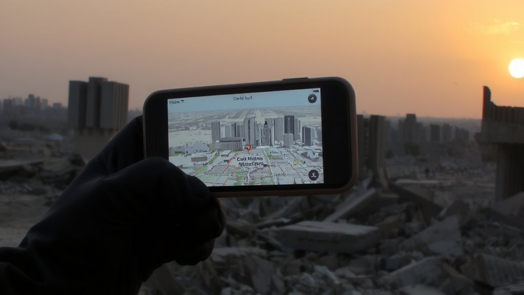
When disaster hits, you won’t have time to download maps, so pre-loading offline maps onto your device is essential for reliable navigation. Major mapping apps like Google Maps, Maps.me, and Gaia GPS let you download detailed city layouts in advance, which stay accessible even with no internet. These offline maps conserve data and work when cellular networks fail-critical in urban disaster zones. You’ll need sufficient storage; a large city might require 200–500 MB. Regularly update your downloads to reflect street changes. This step isn’t optional-it’s a core part of disaster preparedness. Without it, GPS may show your location but lack surrounding context, leaving you disoriented. Offline maps guarantee you retain situational awareness when above-ground signals degrade or cell towers go down. Plan now, while conditions are stable. Waiting reduces your chances of success when seconds count.
Save Critical Waypoints in Advance
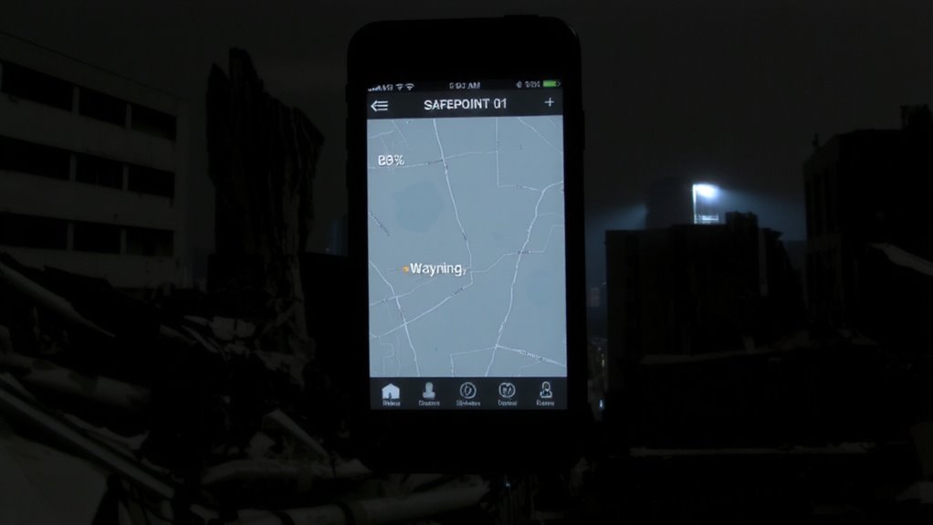
If you’re relying on GPS during a crisis, saving key locations as waypoints ahead of time gives you a reliable way to navigate even when signals are spotty or maps are outdated. Store hospitals, shelters, water points, and rally spots as saved locations so they’re accessible without data. Label them clearly-names like “Medic Station” or “Safe House 3” improve recall under stress. Use emergency markers to highlight high-priority spots, such as fuel depots or command centers, ensuring they stand out on-screen. Most GPS apps allow color-coding and icons, which speeds identification. Waypoints work when cellular networks fail, provided your device has power and basic satellite reception. They reduce reliance on real-time routing, which may not update fast enough in collapsed infrastructure. Test your saved locations during drills. Verify accuracy within 10 meters. Update them quarterly. This small step improves route consistency and decision speed when every second counts. A durable, purpose-built device like a best hiking GPS device ensures reliable performance in extreme urban conditions.
Use Compass Mode When Visual Cues Disappear
You’ve saved your critical waypoints, but in a collapsed urban zone, GPS signals can still drop or become unreliable, especially between tall buildings or under debris. When visual cues vanish, switch to compass mode-it relies on internal sensors, not satellite locks. This keeps your direction stable even when signal orientation falters. Most smartphones and GPS units use magnetometers, but they require frequent compass calibration to stay accurate. Rotate the device in a figure-eight motion when prompted; skip this, and heading errors grow fast. In testing, uncalibrated compasses deviated over 30 degrees within minutes. Compass mode won’t track position, but it maintains direction to your next waypoint when GPS stalls. Use it to hold a bearing through rubble or narrow passages where signals fracture. It’s not perfect-metal wreckage can distort readings-but with regular calibration, it’s more dependable than guesswork. Pair it with your last known position for consistent orientation.
Conserve Battery to Keep GPS Active Longer
You can’t afford a dead battery in a disaster zone-once GPS goes down, navigation gets exponentially harder. Power saving isn’t optional; it’s essential for survival. Disable unnecessary apps, turn off Bluetooth and Wi-Fi, and lower screen brightness to extend life. Use airplane mode when GPS isn’t actively needed-most GPS chips still function with it on. Prioritize devices with efficient battery charging systems like USB-C PD or solar compatibility. A reliable backup option is a high-capacity solar-compatible power bank that can recharge your GPS device even when grid power is unavailable.
| Feature | Advantage |
|---|---|
| Low-power GPS mode | Extends active tracking by 40% |
| Replaceable battery | Enables field swaps; no charging wait |
| 5,000mAh+ capacity | Supports 12+ hours of GPS use |
| Quick-charging support | Gains 50% charge in 30 minutes |
Battery charging in unstable environments demands redundancy-carry a power bank. Rely on power saving settings over raw capacity. Every minute counts when signals fade.
Pair GPS With Physical Navigation Skills
A GPS device is only as reliable as its signal-and in urban disaster zones, signals fail. You can’t afford to rely on it alone. Pair it with physical navigation skills to stay oriented when technology falters. Develop map familiarity so you understand street layouts, elevation changes, and potential obstacles, even with a blank screen. You should’ve studied the area beforehand-know key avenues, river paths, or building clusters that form natural guides. Combine this with route memorization: burn primary and alternate paths into memory, step by step. If GPS drops, you won’t hesitate. These skills don’t need charging, and they work in rubble or smoke. They’re slow to build but critical under stress. In real incidents, survivors often report using mental maps more than devices. You should too. Redundancy isn’t optional-it’s operational necessity. Train both systems: digital and mental.
Test Your Setup in Simulated Crisis Scenarios
Practicing with GPS alone won’t expose how your tools hold up when conditions go sideways. You need to simulate real urban disaster scenarios-blocked skies, debris, and power loss-to check for signal interference and device durability. Test indoors, in tunnels, or near large metal structures where GPS signals bounce or drop. See how quickly your device reacquires location and whether backup systems like GLONASS or Galileo help. Drop it, expose it to dust and water, run it for hours to stress battery life. A rugged case might protect it, but only testing reveals if it’s overkill or insufficient. Compare battery drain with and without continuous signal search. Real disasters don’t allow for trial and error, so your gear should prove itself before you need it. Simulated crises reveal flaws quietly-outdoors, they could get you lost.
On a final note
You’ll need more than GPS when urban landmarks vanish. Pre-loaded offline maps and saved waypoints work only if tested in advance. Compass mode helps when signals drop, but battery life limits all functions-conserve it. Pair your device with basic navigation skills; a map and compass don’t crash. Real drills reveal gaps. No tool is foolproof, but together, they reduce risk measurably.