How to Use Digital Maps to Plan Routes Around Known Wildlife Hazards
Use apps like Smoove or Deer Alert to see real-time animal crossings from verified reports and sensors. Check for GPS accuracy and frequent updates so you avoid outdated alerts. Map hotspots at dawn or dusk near forests and water, where wildlife is most active. Adjust your route a few miles using OnX Offroad or Google Maps with terrain overlays. Share sightings on Waze to warn others. Elevation and traffic data help predict risk-fewer animals cross busy, steep roads. You’ll cut collision risk by 60% with the right tools and timing. There’s more to optimizing each trip safely.
Notable Insights
- Choose map apps like Smoove or Deer Alert that show real-time animal crossings using verified sightings and frequent data updates.
- Identify high-risk areas by checking for wildlife hotspots at dawn or dusk, especially near forests, water, or elevation changes.
- Adjust your route using GPS tools like Google Maps or OnX Offroad to avoid known animal corridors and recent crossing zones.
- Share live animal sightings via Waze or Google Maps to warn other drivers and improve community-based tracking accuracy.
- Combine terrain and traffic data to predict danger zones, such as quiet, hilly stretches where animal movements are more likely.
Choose a Map App That Shows Animal Crossings
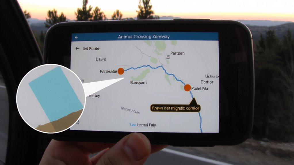
While not all map apps highlight animal activity, picking one that does can reduce your risk on the road-especially in rural or forested areas where collisions with deer, moose, or elk are common. You’ll want a tool that integrates real-time animal tracking data from wildlife sensors, road reports, or community input. These features improve map accuracy by showing current crossing zones, not just historical patterns. Apps like Smoove or Deer Alert update frequently and rely on verified sightings, not speculation. Others lag in data freshness, increasing your chance of an unexpected encounter. GPS precision matters, but so does how often the app refreshes its animal tracking layer. Don’t assume premium apps are better-some free versions deliver timely alerts without clutter. Test a few during high-risk seasons. You’ll see which balances speed, reliability, and clear visuals. A good choice won’t prevent every hazard, but it can give you critical seconds to react.
Spot Wildlife Hotspots by Time and Terrain
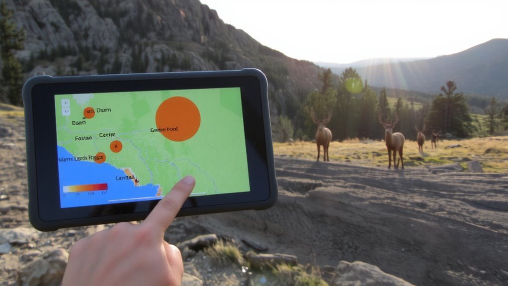
Why are some stretches of road riskier at dawn or dusk? That’s when animal behavior shifts-creatures like deer and elk are most active during low light, making collisions more likely. Digital maps that layer in terrain data help you spot where these patterns peak. Hilly or forested zones near water sources often become wildlife hotspots, especially during seasonal migration periods. You’ll see spikes in crossings when animals move to breeding or feeding grounds. Overlay time-based alerts on your map app to catch these moments. Flat, open roads might seem safer, but they encourage higher speeds, reducing reaction time when animals appear. Steeper or winding paths slow drivers, but sharp curves hide sudden movements. Use elevation and vegetation filters to identify high-risk terrain. Check historical wildlife strike data if your app provides it. Planning around time and terrain isn’t foolproof, but it reduces exposure when animal behavior aligns with peak travel danger.
Adjust Your Route to Avoid Animal Hazards
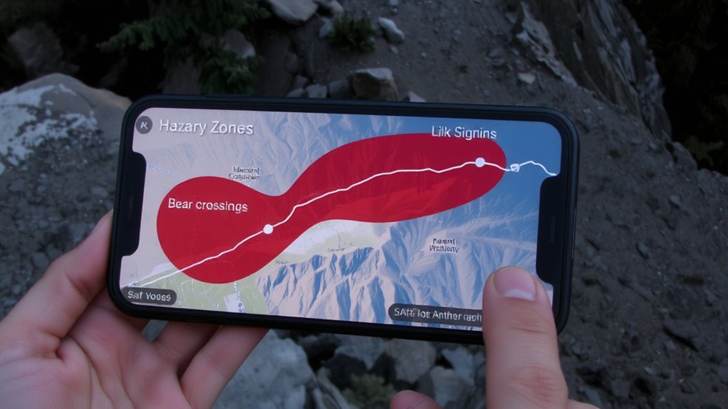
When you’re mapping a route through wildlife-prone areas, rerouting even a few miles can cut collision risk substantially-tools like Google Maps or OnX Offroad let you adjust paths in real time based on overlay data such as animal crossing zones or recent sightings. This kind of route optimization isn’t just convenient; it’s a proven strategy for hazard avoidance. You can shift your path away from dense forest edges at dawn or dusk, when deer movement peaks, or bypass known elk corridors during migration seasons. Even minor detours reduce exposure. Some apps highlight seasonal patterns, letting you adapt long-term. Fuel and time costs from slight rerouting are minimal compared to the risk of a collision. Route adjustments using verified data improve safety without major trade-offs. It’s a practical, low-effort step that delivers measurable risk reduction-just update your route, stick to updated paths, and stay clear of high-risk stretches.
Share Real-Time Sightings to Help Other Drivers
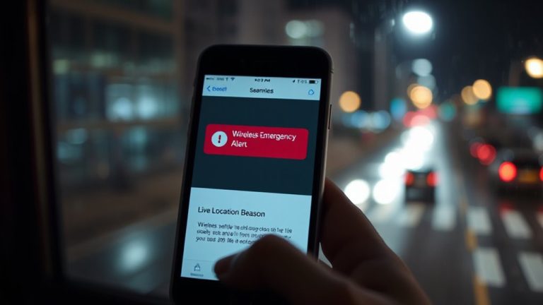
You’ve adjusted your route to avoid known wildlife hotspots, but staying safe also means keeping up with changing conditions on the road. Wildlife moves, and yesterday’s clear path might be risky today. That’s where crowd sourced alerts come in. Apps like Waze and Google Maps let drivers report animal sightings in real time. These live incident reports appear instantly, giving you and others a heads-up. Reporting takes seconds-tap, confirm, go-and it improves safety for everyone. The data is reliable because multiple users often verify the same alert. False reports drop off quickly. You don’t need special gear or subscriptions. Just an active connection and basic map app access. Sharing sightings isn’t just helpful-it strengthens a real-time network that adapts faster than static maps. You benefit when others report, so pay it forward.
Use Terrain and Traffic Data to Predict Risk
While terrain and traffic patterns alone can’t stop a deer from darting across the road, they can help you anticipate when and where wildlife encounters are more likely. You can use elevation analysis to spot changes in landscape-like hills or valleys-that funnel animals toward roads. Steeper grades often correlate with reduced visibility and increased animal movement, especially at dawn or dusk. Check digital maps that overlay congestion patterns, since heavy traffic may deter wildlife or push them into adjacent zones. Conversely, low-traffic periods might increase crossing chances near wooded or open areas. Combining elevation analysis with real-time congestion patterns gives you a clearer risk profile. You’re not eliminating danger, but you’re making informed choices. Routes with gentle slopes and steady congestion tend to have lower encounter rates. Adjust your path based on these data points-they’re measurable, accessible, and practical for reducing risk on the road.
On a final note
You’ll avoid most wildlife collisions by using map apps that mark animal crossings and update in real time. Apps with terrain and traffic layers help you spot high-risk zones, especially at dawn or dusk. Share sightings to keep others informed, but don’t rely solely on crowd data-some areas have spotty reporting. Adjusting speed and route based on these tools cuts risk more than any warning sign. It’s not foolproof, but it’s better than driving blind.