How to Use GPS to Track Group Movement in Large Survival Teams
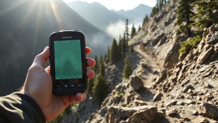
Use rugged GPS devices like the Garmin GPSMAP 66i-they maintain ≤5 feet accuracy under tree cover and survive drops and rain. Pair them with satellite-based tracking platforms like inReach for real-time updates every 1–5 minutes. Download offline topo maps via Gaia GPS and pretest in canyons or forests where signal fades. Assign team leads to monitor key members, limit location sharing to reduce battery drain, and set geofenced check-ins every 15–30 minutes. Review movement tracks later to spot delays and improve coordination.
Notable Insights
- Use rugged GPS devices with MIL-STD-810 ratings and sub-5-foot accuracy for reliable performance in dense terrain.
- Implement real-time satellite tracking via platforms like Garmin inReach to monitor team positions every 1–5 minutes.
- Download offline topographic maps on apps like Gaia GPS to maintain navigation during signal loss.
- Assign role-based monitoring with tiered access to reduce device strain and streamline situational awareness.
- Set geofenced boundaries and automated check-ins every 15–30 minutes to enhance safety and battery efficiency.
Choose the Right GPS Devices for Team Safety
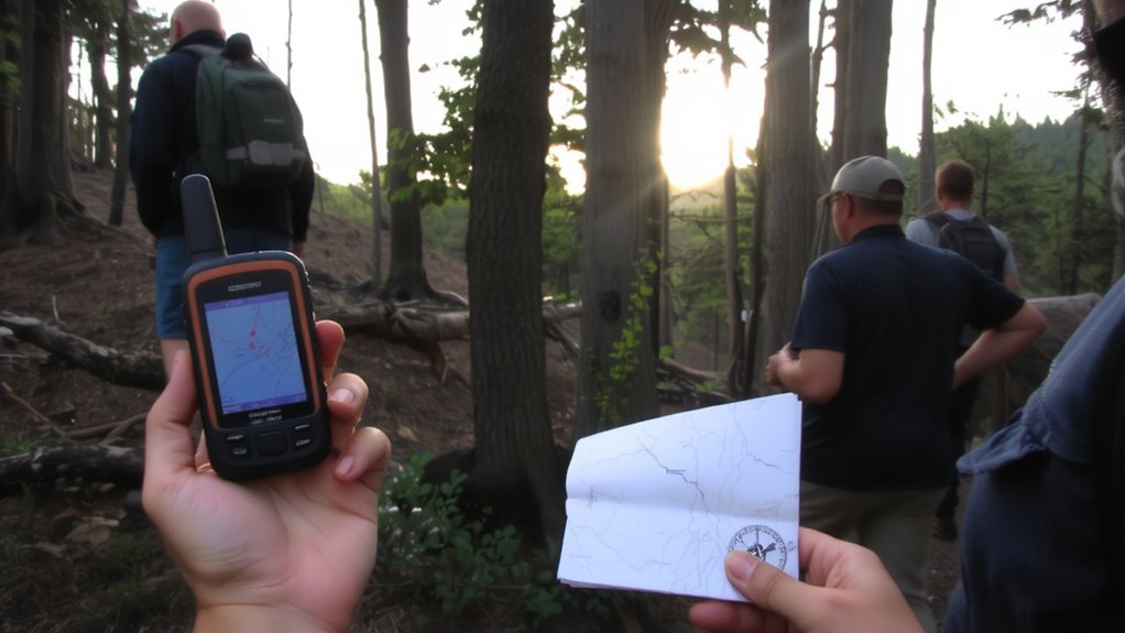
Why risk getting separated when a reliable GPS can keep your team on the same map? You need devices with proven GPS accuracy-look for models that maintain lock in dense tree cover or steep terrain, not just open sky. Consumer-grade units often drift by 10–15 feet; military-spec or rugged outdoor models cut that to 5 feet or less under real conditions. That precision matters when traversing narrow trails or calling in a location. Device durability is just as critical. Choose units with MIL-STD-810 ratings, waterproofing to at least IPX7, and screens visible in direct sun. Drop-tested casings guarantee they survive falls. A unit that quits in rain or fog puts your team at risk. Balance battery life against weight-14+ hours is ideal. Don’t assume smartphone apps are enough; they lack the consistent signal lock and rugged build. Pick tools built for failure-prone environments, not convenience. For optimal group tracking, consider models featured in the best hiking GPS devices for outdoor adventures.
Set up Real-Time Tracking With a Shared Platform
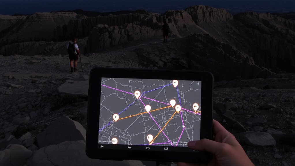
How do you guarantee everyone’s location is visible when it counts? Use a shared GPS platform that supports real-time tracking across all team devices. Start by confirming device compatibility-your radios, smartphones, and handheld GPS units must sync with the chosen app, like Garmin inReach or Satelink. Without compatibility, signal synchronization fails, and tracking gaps occur. Most platforms use satellite or cellular networks to update positions every 1–5 minutes. Test sync times during drills: delays over 30 seconds reduce situational awareness. Choose systems with proven uptime and low latency. Make sure firmware is updated to prevent dropouts. Battery drain increases with constant transmission, so balance update frequency with power limits. Teams of 10+ need centralized admin access to monitor movement without clutter. Cross-reference platform logs with actual movements to verify accuracy. This setup ensures you see where everyone is-when it matters most. For optimal performance in remote areas, consider using a dedicated GPS device for hiking.
Prepare for No Signal: GPS Offline Maps and Backup
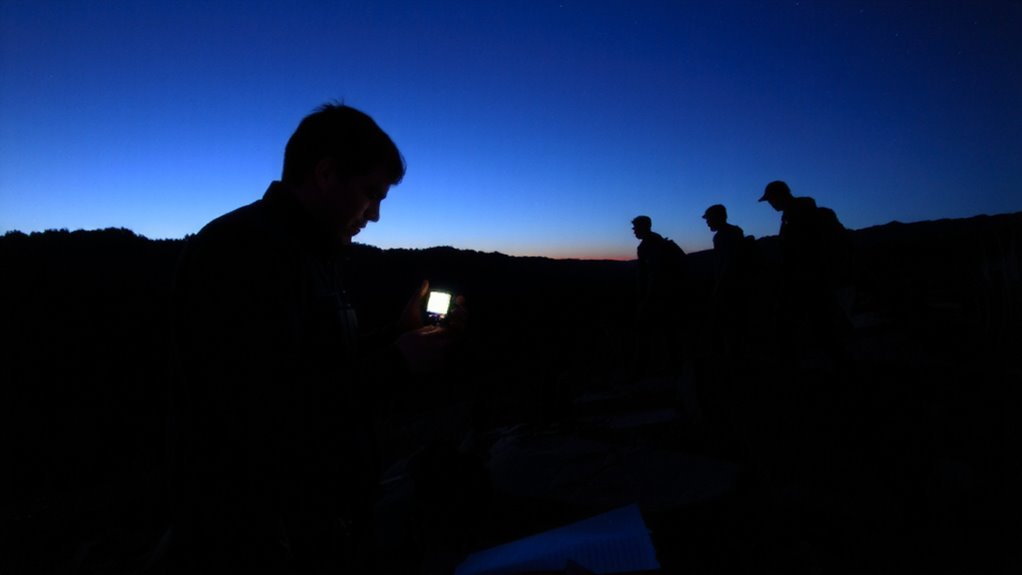
What if your signal drops in the backcountry? You’ll need reliable offline navigation to keep moving. Relying on real-time tracking alone is risky-satellite and cellular dead zones break connection fast. Download topographic GPS offline maps before departure using apps like Gaia GPS or Avenza, which support preloaded routes and location tracking without service. These apps store data on your device, enabling continued use during signal failure preparedness scenarios. Pair them with a rugged handheld GPS unit, like a Garmin GPSMAP 66i, which has internal memory for maps and a long battery life. Test the setup on short trips to guarantee accuracy and responsiveness. Don’t count on one device-carry a backup, like a fully charged power bank and a secondary phone or GPS with identical map data. Redundancy reduces failure risk when conditions turn.
Define Roles: Who Sees Which Team Member’s Location
While traversing remote terrain, assigning clear roles for location monitoring guarantees your group stays coordinated without wasting time or battery power. Role assignment guarantees only essential personnel track specific members, reducing app overload and device strain. You don’t need everyone viewing all locations-mission success hinges on efficient data use. Designate team leaders or scouts with higher access levels, allowing them to monitor flanking units or vulnerable members. Support roles might only see medics or supply carriers, streamlining focus. Use apps that let you customize access levels per user, like Garmin inReach or Gaia GPS, which support tiered visibility through group sharing settings. This structure prevents confusion during movement and limits data exposure if a device is lost. Test role-based tracking in training to confirm reliability. Clear roles mean faster decisions, less screen time, and preserved resources-critical when every minute and battery percent counts.
Set GPS Check-Ins and Safe Zone Boundaries
When you’re moving through unpredictable terrain, setting automated GPS check-ins every 15 to 30 minutes gives your team a consistent pulse on who’s where without constant manual input-this balance cuts battery drain and keeps tracking reliable over long stretches. You’ll still face signal interference in dense forests or canyons, so plan for delayed updates and rely on cached data when live signals drop. Terrain masking can block line-of-sight to satellites, especially in mountainous areas, reducing accuracy by up to 30 meters. To counter this, define safe zone boundaries around camps or rally points; if someone crosses the geofence, the system flags it automatically. These boundaries work best when devices support offline mapping and low-power Bluetooth beacons. Use them to contain movement and reduce search radius during separation. Test the setup in similar terrain beforehand so you know how your gear performs under stress.
Train Everyone to Use GPS and Send Emergency Alerts
You’ve set up automated check-ins and defined safe zones, but the system only works if everyone knows how to use it. GPS training isn’t optional-it’s essential. Every team member must learn to power the device, locate their position, and confirm arrival in designated areas. More critically, they need to send emergency alerts without hesitation. Delays or confusion during crises reduce survival odds. Practice sending alerts in varied terrain to confirm signal reliability. Devices with pre-programmed SOS buttons reduce error under stress. Battery life, satellite connectivity, and durability in wet or cold conditions affect performance. Not all units support two-way messaging, so choose models that do. Standardized training guarantees consistency, especially in high-noise or low-visibility scenarios. Test each person’s ability to transmit their coordinates within 30 seconds. Effective GPS training turns tools into lifelines. Emergency alerts only help if everyone can trigger them correctly.
Analyze GPS Tracks After Missions to Improve Tactics
Since every mission generates data, reviewing GPS tracks afterward gives you a reliable way to assess movement efficiency and decision-making in real conditions. You can spot data patterns like repeated detours, bottlenecks, or lagging units that slow overall progress. These patterns reveal where communication broke down or terrain choices hurt momentum. Comparing planned routes to actual tracks helps measure route efficiency and identify faster, safer alternatives for future ops. You’ll see if teams strung out too much or clustered unnecessarily, affecting stealth and response time. Overlaying time stamps with terrain types shows which elevations or cover types slowed movement most. This isn’t about blame-it’s about refining tactics with real metrics. Using free or low-cost software, you can replay missions, test adjustments, and train based on evidence. Simple analysis today improves speed, cohesion, and survival odds tomorrow.
On a final note
You need reliable GPS devices with long battery life and offline map support to track group movement effectively. Real-time sharing works only with stable networks, so offline backups are critical. Assign roles to reduce clutter and confusion. Regular check-ins and geofenced zones improve situational awareness. After missions, review tracks to spot weaknesses. Not every device performs the same-test them under real conditions to confirm accuracy and durability.