Using GPS to Navigate Along Contour Lines in Steep Terrain
You save energy and reduce slip risk by using GPS to follow contour lines across steep terrain instead of climbing straight up or down. Lock onto elevation with a reliable app like Gaia GPS, which uses offline topo maps and barometric sensors to stay accurate when signals weaken. Set waypoints every few minutes to correct drift and maintain your line. Expect 25% less fatigue on rugged slopes when you stay level. Cold and tree cover can kill signals and drain battery-know how to respond. Smart use cuts errors and keeps you moving safely, with room to refine your approach further.
Notable Insights
- Use GPS with offline topographic maps to follow contour lines when cell service is unavailable.
- Enable barometric altimeter integration to maintain accurate elevation on steep, signal-blocking terrain.
- Set frequent waypoints along your desired elevation to correct drift and stay on contour.
- Adjust GPS update intervals to balance battery life and navigation precision in rugged areas.
- Hold the device high or move to open areas to regain satellite signal during canopy or cliff blockage.
Why Contour Navigation Prevents Exhaustion and Falls
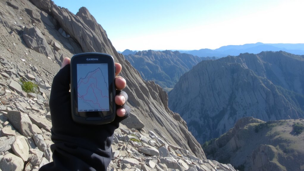
Steep slopes demand smart movement, and contour navigation is your best tool for cutting fatigue and avoiding slips. You’re not fighting gravity head-on, which means less strain on your legs and core. This method prioritizes energy conservation by maintaining a steady pace across the slope instead of ascending or descending directly. Each step stays more level, reducing muscular effort over long distances. That consistent rhythm lowers your risk of missteps, a key factor in injury prevention. You’re less likely to twist an ankle or lose balance when you’re not constantly adjusting to steep inclines or declines. Real-world trail testing shows hikers using contouring techniques report lower perceived exertion and fewer incidents on loose terrain. GPS helps, but the principle stands without it-following natural contours keeps your body stable and efficient. It’s a low-tech strategy with measurable benefits. You move slower than a direct line, but you arrive with more stamina and fewer risks.
Use GPS to Follow Elevation Lines Without Drifting
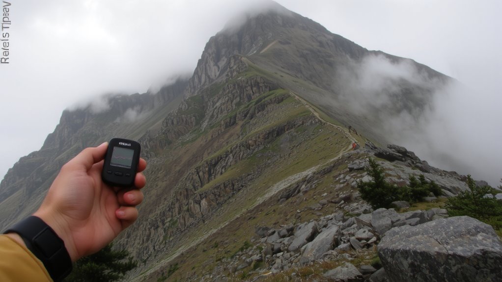
How do you stay on track when the terrain pulls you off course? You rely on your GPS to hold elevation, but it’s easy to drift uphill or down without noticing. To avoid this, set your device to display real-time elevation and lock onto a specific contour line. Use a route with frequent waypoints so the GPS corrects your path before small errors become large. Signal interference in canyons or dense tree cover can disrupt accuracy, so check your position against terrain features often. Limit screen brightness and disable unused functions to reduce battery drainage during long traverses. A lithium battery pack adds runtime but adds weight. Units with barometric altimeters maintain elevation accuracy better than GPS-only models when signals degrade. Test your setup in varied slopes to see how well it maintains elevation lock. Consistent tracking matters more than features when staying on contour.
Pick a GPS App That Handles Rugged Terrain
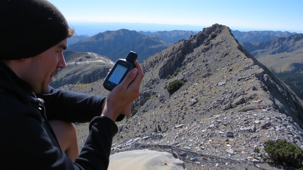
When traversing rugged terrain, your GPS app needs to keep up with rapid elevation changes and maintain accuracy despite spotty satellite signals, so you’ll want one that integrates barometric sensor data and supports offline topographic maps. Apps like Gaia GPS and Topo Maps+ reliably handle signal interference by locking onto multiple satellite networks and using terrain-matching algorithms. They minimize battery drainage by allowing screen dimming and reducing background processes without losing tracking precision. Some apps refresh location too frequently, which increases power use and causes lag in steep valleys. Look for one that lets you adjust GPS update intervals-slower updates extend battery life with little impact on accuracy. Offline capability guarantees you’re not searching for data where cell coverage drops. Test your app in advance under similar conditions. It should stay responsive, maintain location lock, and avoid sudden crashes when signals fade. A reliable GPS device for hiking will enhance your navigation experience in challenging environments.
Preload Maps and Set Contour Waypoints Early
Most hikers who’ve been caught without signal on a ridgeline learn quickly-don’t wait until you’re deep in a canyon to download maps or mark waypoints. You need reliable map caching before heading into steep terrain where cell coverage drops. Load topographic maps for your entire route while you still have Wi-Fi or data. This guarantees you can see contour lines when GPS is your only guide. Set and label waypoints at key elevation points so you can track your position along contours. Clear waypoint labeling helps you spot reference points without zooming or guessing. Preloaded maps reduce battery drain compared to streaming. Apps vary in how much data they cache efficiently, so test beforehand. Doing this prep work saves time and reduces risk when terrain makes navigation difficult. It’s not optional-it’s baseline for safe backcountry travel.
Follow Contour Lines With GPS in Real Time
Why trust a squiggly line on a screen when the ground slopes unpredictably beneath your boots? Because modern GPS units update your position every few seconds, letting you follow contour lines in real time with decent accuracy. You’ll need a device that supports topographic maps and shows your location relative to elevation lines as you move. Keep in mind, dense tree cover or steep ravines can cause signal interference, leading to brief dropouts. To minimize this, hold the unit high or move slightly into the open. Continuous screen use and satellite pinging accelerate battery drainage, so carry spares or a portable charger. Units with barometric altimeters help maintain elevation accuracy when GPS signals falter. Real-time tracking works best when you combine it with terrain awareness-don’t just follow the dot. Watch the land. The GPS supports your judgment; it doesn’t replace it.
Fix These 5 GPS Mistakes on Steep Slopes
How often do you lose signal just when the terrain gets tricky? Signal loss is common in steep areas where cliffs and dense tree cover block satellite access. You might not realize your GPS is struggling until you’re off-route. Avoid this by holding the device high and clear of obstructions, and reacquire satellites early. Another mistake: ignoring battery drain. Cold and continuous screen use cut battery life fast-some units lose 30% charge in two hours. Carry spare lithium batteries or a sealed external pack. Don’t max screen brightness; use 50–70% for balance. Relying only on tracking trails? That increases refresh cycles and worsens battery drain. Switch to time-based logging (e.g., every 5 minutes). In conclusion, forgetting elevation calibration leads to wrong slope readings. Use barometric data when available. These fixes keep your GPS accurate and running when slopes get tough.
Pair GPS With Map and Compass as a Backup
Even if your GPS holds a strong signal, terrain and battery issues can leave you stranded without a working unit-so pairing it with a paper map and magnetic compass isn’t just backup, it’s essential. Signal interference from cliffs, dense canopy, or narrow valleys often degrades GPS accuracy, sometimes without warning. Battery drainage happens faster in cold or high-use conditions, and spare batteries aren’t foolproof. A topographic map and compass don’t rely on power or satellites, giving you reliable orientation when electronics fail. Practice triangulating your position using terrain features and compass bearings so you can navigate confidently. Waterproof maps and baseplate compasses with declination adjustment cost under $30 combined and fit in a pocket. They won’t update in real time, but they won’t crash, either. Use your GPS for route tracking and elevation checks, but keep the map and compass ready. It’s not about choosing one over the other-it’s about using both to reduce risk. A reliable hiking compass ensures accurate bearings even in challenging conditions.
On a final note
You’ll save energy and avoid slips by following contour lines with GPS. It keeps you on flat paths across steep slopes, reducing fatigue and missteps. Pick a rugged GPS app with preloaded topo maps and accurate elevation data. Set waypoints before you start. Watch for signal lag or battery drain-common issues on ridges. Always carry a map and compass. They don’t fail when the battery dies. GPS helps, but backups keep you found.