How to Use Satellite Devices to Receive Tsunami Warning Alerts
You get faster tsunami alerts with satellite devices like Garmin inReach or Zoleo because they receive warnings directly from monitoring systems, no cell signal needed. Set up automatic notifications and keep firmware updated for reliable alerts. These devices give 15–45 minutes of warning and confirm alerts with ocean buoy data. Test monthly and use two-way messaging to respond. They also share your location every 10 seconds during emergencies. A reliable pick improves your response time when every second counts.
Notable Insights
- Choose satellite messengers with global coverage and automatic tsunami alert support, like Garmin inReach or Zoleo.
- Ensure your device firmware is updated to enable the latest warning alert functionalities.
- Configure alert settings to receive notifications based on tsunami warning severity and frequency.
- Test the device monthly by sending simulated alerts to confirm proper alert reception.
- Use satellite devices in tandem with ocean buoy data to verify tsunami threats and reduce false alarms.
Get Tsunami Warnings Instantly With Satellite Technology
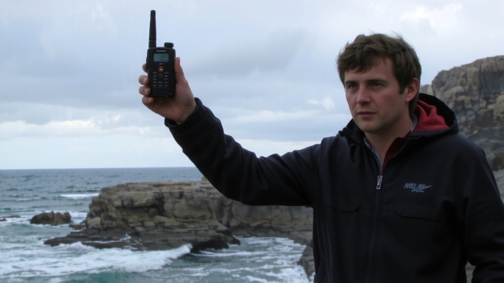
How do you get critical tsunami warnings when cell networks fail? You rely on satellite technology linked to global ocean monitoring systems. These systems use seismic sensors to detect undersea earthquakes the moment they occur. When tectonic shifts exceed warning thresholds, data transmits instantly to monitoring centers. You don’t wait for local signals-satellite alerts bypass damaged infrastructure entirely. Seismic sensors feed real-time data into models that predict tsunami formation within minutes. Ocean monitoring buoys then confirm wave activity, reducing false alarms. Devices equipped with satellite receivers pick up these alerts directly, giving you actionable warnings even in remote coastal areas. Unlike cell-based systems, this network operates independently, ensuring reliability when you need it most. You gain time-often 15 to 45 minutes-depending on distance from the epicenter. It’s not foolproof, but it’s the most dependable method when traditional communication fails.
Choose the Best Satellite Messenger for Real-Time Alerts
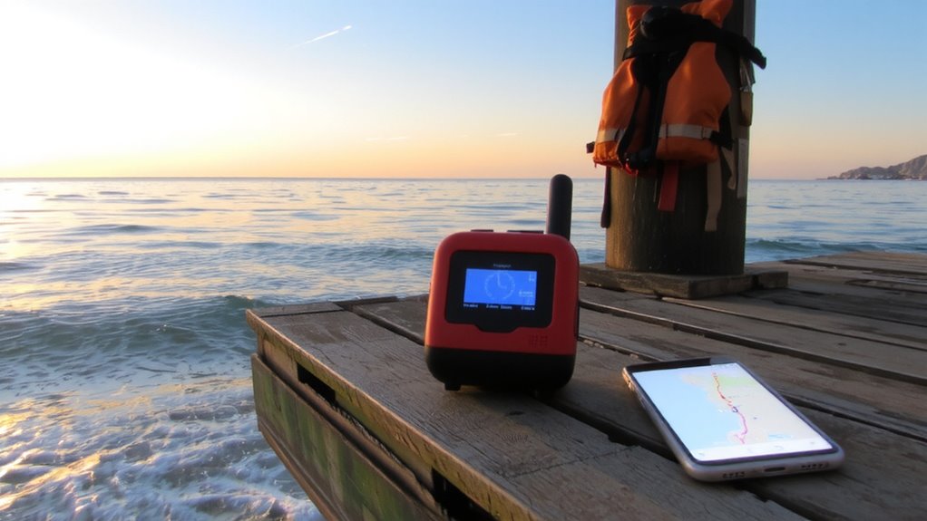
Why settle for spotty coverage when lives depend on reliable alerts? You need a satellite messenger that works when cell networks fail. Look for models with global coverage, like the Garmin inReach or Zoleo, which connect to robust satellite networks. Check device compatibility-your phone or tablet must sync seamlessly via Bluetooth or USB. Some messengers only work with specific operating systems, so verify this before buying. Subscription plans vary; some offer flexible month-to-month options, while others require annual commitments. Choose a plan that includes two-way messaging and real-time alert delivery. Don’t pay for features you won’t use, but don’t skip critical ones either. Test the device in low-signal areas to confirm performance. A reliable messenger isn’t the cheapest-it’s the one that delivers alerts when every second counts. For trusted options, explore the best satellite phones based on performance and reliability.
Set Up Automatic Tsunami Notifications on Your Device
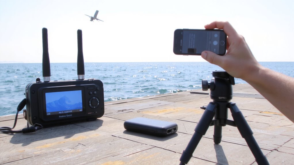
While you can’t control when a tsunami strikes, you can guarantee your device alerts you the moment danger is detected-provided it’s set up correctly. Ensuring device compatibility with your satellite messenger is critical; not all models support automatic tsunami alerts. Check your device specs and update firmware to enable warnings. You can adjust notification frequency based on alert severity-some users prefer immediate alerts, while others reduce frequency to minimize disruptions during low-risk periods. Below is a comparison of common devices and their alert settings:
| Device | Supports Automatic Tsunami Alerts |
|---|---|
| Garmin inReach Mini 2 | Yes |
| SPOT X | Limited (user-configured) |
| Zoleo C100 | Yes |
| Iridium GO! | No |
Configure your system to balance responsiveness and practicality. Test alerts monthly to verify performance.
Share Your Location During Emergencies Via Satellite
What good is a signal if no one knows where you are when disaster hits? With satellite devices, emergency sharing lets you transmit your exact coordinates even when cell networks fail. This isn’t just helpful-it’s often critical. Most modern satellite messengers support real-time location tracking, sending GPS pings at set intervals so rescuers can find you fast. Devices like the Garmin inReach or ZOLEO 2S update your position every 5 to 10 seconds in emergency mode, giving responders current data. While continuous tracking drains battery faster, the trade-off is justified in life-threatening situations. You activate emergency sharing manually or automatically when triggering an SOS. Accuracy is typically within 10 meters, thanks to multi-constellation GNSS support. For coastal evacuations or sudden tsunami surges, being locatable via satellite drastically increases survival odds. Location tracking isn’t tracking for convenience-it’s a precision tool for crisis response.
Test and Maintain Your Alert System Before Disaster Strikes
Even if your satellite device has worked perfectly before, assuming it’ll function when a tsunami hits isn’t a risk worth taking. You need regular battery testing to confirm it holds a full charge-weak power can cut alerts short. Perform this monthly, not just before trips. Signal calibration guarantees your device links reliably with satellites, especially after firmware updates or physical shocks. Check it quarterly by triggering a test alert and verifying reception on linked apps or devices. Keep firmware updated, but avoid unnecessary changes that might introduce bugs. Store the unit in a dry, temperature-stable place to preserve internal components. Replace batteries every two years, even if they seem functional. Dust or moisture in ports can disrupt performance-clean connectors gently. A working alert system isn’t luck; it’s the result of routine maintenance. Skipping these steps means betting your safety on outdated hardware.
On a final note
You get faster tsunami alerts with satellite messengers like Garmin inReach or Zoleo because they work where cell service fails. These devices connect to global networks, delivering warnings in seconds. Set up automatic alerts and share your GPS coordinates during evacuations. Test weekly and keep the battery charged. While pricier than phones, they’re reliable when infrastructure fails-critical for coastal safety. Choose one with long battery life and SOS capability.