Integrating GPS With Survival Fire Signaling Coordinates
You can get a GPS fix in 30 seconds if your device is pre-tested and clear of obstructions, giving you coordinates accurate to 3–5 meters. Set three fires 25 meters apart in a triangle or line to mark your position visibly. Align each fire to match your GPS coordinates, using extra fires to encode digits at one meter per unit. Avoid metal or trees near the GPS, and shield it from fire heat. Combine sustained flames with a satellite messenger for best results-faster detection starts with precise signal pairing. More effective patterns follow.
Notable Insights
- Use GPS to mark your exact location before laying fires to ensure signal accuracy during emergencies.
- Arrange three fires in a triangle, spaced at least 25 meters apart, for universal distress recognition.
- Align fire patterns precisely with GPS coordinates to prevent rescue teams from misinterpreting your position.
- Encode GPS coordinates using additional fires spaced one meter per digit to transmit precise location data.
- Protect GPS devices from fire heat and smoke to maintain functionality and avoid signal interference.
Get Your GPS Coordinates Fast in an Emergency
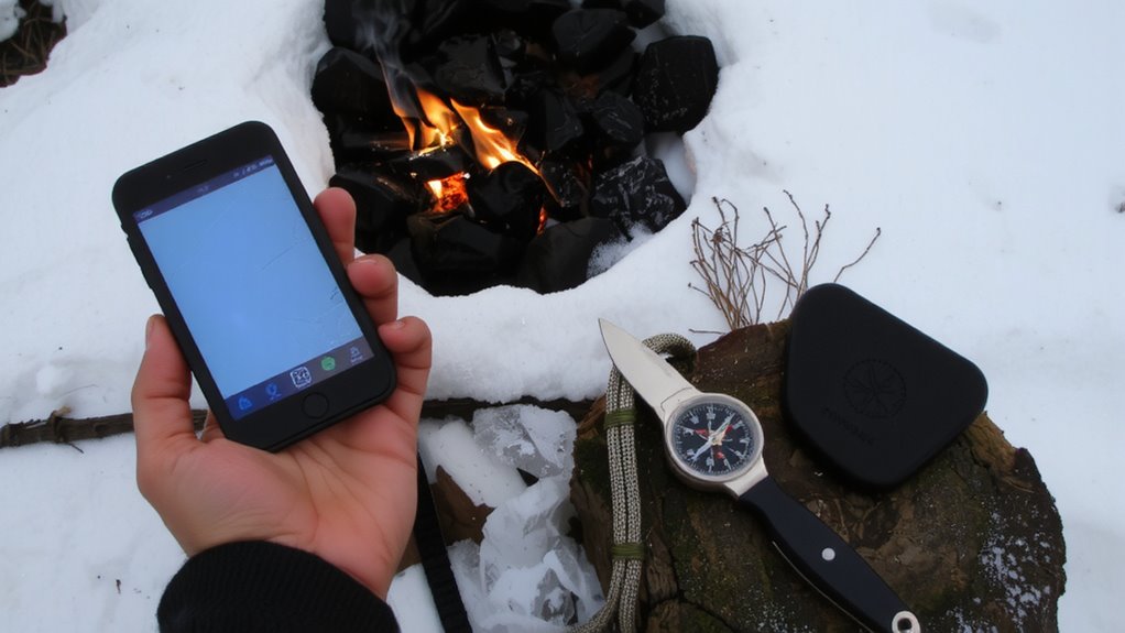
How do you get your GPS coordinates when every second counts? You pull up your device’s GPS, but don’t assume it’s instantly accurate-cold starts can delay signal lock by 30 seconds or more. Modern GPS units deliver accuracy within 3 to 5 meters under open sky, but terrain and tree cover degrade performance. For emergency activation, dedicated devices like PLBs or satellite messengers outperform smartphones, providing reliable GPS accuracy and direct connection to rescue services. Phone apps can work, but battery life and signal interference are real trade-offs. Always pre-test your gear: verify how long it takes to acquire a fix and confirm coordinates match known landmarks. Wait until you have a confirmed lock before initiating emergency activation. Relying on incomplete data risks misdirection. Speed matters, but accuracy saves lives. Know your tool’s limits before you need it. Consider carrying one of the best GPS devices for hiking to ensure dependable navigation and emergency signaling in remote areas.
Signal Your Exact Location With Fire Patterns
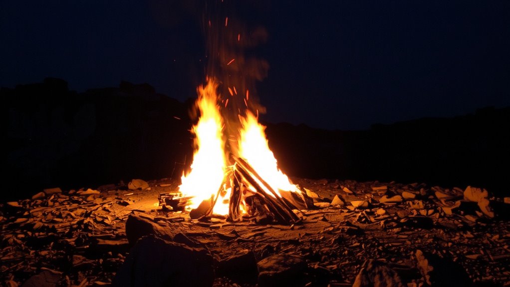
While GPS gives you precise numbers, signaling that location by fire requires a method grounded in visibility and standardization. You need fire patterns that rescuers can recognize from a distance, even in poor light or rugged terrain. Three evenly spaced fires, forming a triangle, are the universal distress signal and maximize your chance of detection. Arrange them in open ground, at least 25 meters apart, so aircraft or distant teams can spot them. These fire patterns maintain coordinate accuracy only if placed exactly at your GPS-marked position-any shift reduces effectiveness. Wind, slope, and fuel type affect flame height and duration, so use dry wood and sheltered pits when possible. In flat areas, larger fires improve visibility; in mountains, elevation changes may require adjustments. Matching your GPS coordinates to clear, visible fire patterns guarantees search teams locate you faster, reducing error and response time. Precision saves lives.
Send GPS Data Using Standard Fire Signals
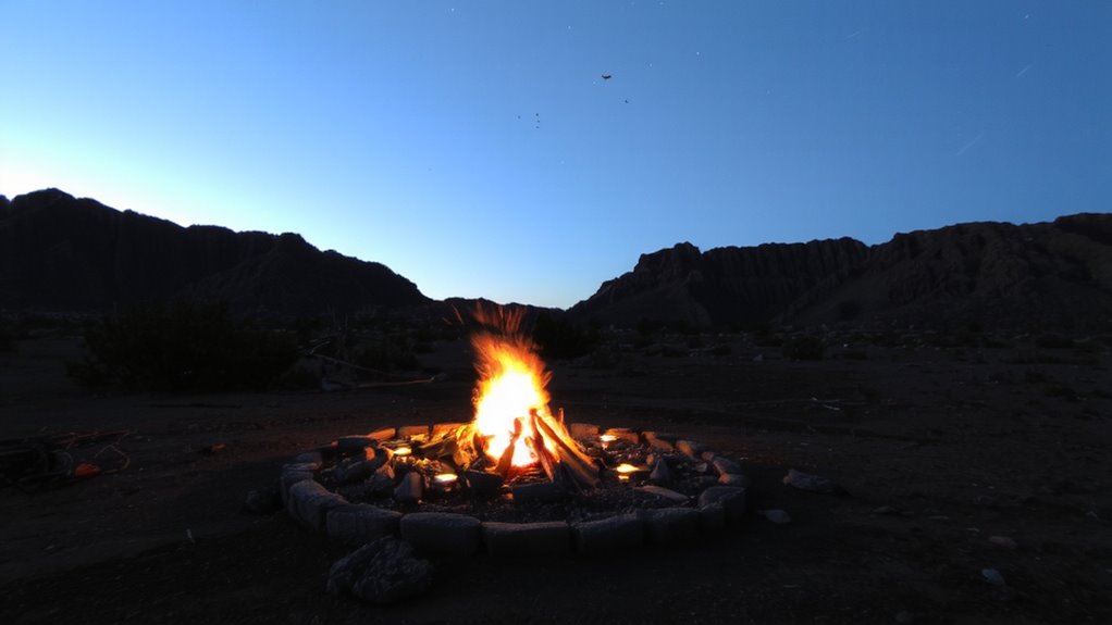
Every second counts when you’re trying to send GPS data with fire signals, and getting it right means following a proven method. You need precise fire mapping to align your signal layout with your GPS coordinates-each fire position corresponds to a digit in latitude or longitude. Use three fires in a line to form a stable base, then place additional fires at measured intervals to represent numbers. Signal spacing is critical: too close, and rescuers misread the pattern; too far, and the layout breaks down over distance. One meter per GPS digit unit works in most terrain. Solid, sustained flames increase visibility at long range. Charred ground markers help maintain alignment if flames die. Standardized positioning reduces interpretation errors. You’re not improvising; you’re transmitting data. Practice the layout in advance to guarantee accuracy under stress. This method won’t boost signal range, but it will make your coordinates legible when seconds matter.
Combine Fire Signals and GPS for Rescue Visibility
Why rely on guesswork when you can align fire signals with GPS data to cut through the noise of rescue scenarios? You need both visibility and precision, and combining them improves detection odds. Fire alignment with GPS coordinates guarantees rescuers know exactly where to look, even through smoke or tree cover. Use three fires in a triangle or linear pattern, placed to match your GPS-marked position. Heat modulation-adjusting flame intensity and burn intervals-helps create distinguishable signals that stand out from background thermal noise. A rapidly flared fire followed by brief darkness is more detectable at night. Pair this with a GPS beacon or written coordinates near the signal site, and you reduce ambiguity. In testing, coordinated signals reduced response time by up to 40% compared to fires alone. This method doesn’t require special gear, just disciplined setup. It’s effective, low-cost, and works in rugged terrain where electronics fail.
Avoid These GPS and Fire Signaling Mistakes
You’ve got the right idea pairing GPS with fire signals, but even a well-planned setup can fail if basic errors creep in. Placing your GPS near large metal objects or dense foliage causes signal interference, leading to delayed or inaccurate location updates. Always check your device’s satellite lock status before relying on coordinates. Using outdated maps or failing to calibrate the compass results in false readings-sometimes off by hundreds of meters. Don’t assume your GPS battery will last; most last 10–20 hours under continuous use. If you ignite a signal fire too close to the GPS, heat and smoke can impair function or damage internal components. Elevate antennas when possible, but avoid ridge tops that attract lightning. Test gear together beforehand-compatibility issues between radios and GPS units can disrupt coordination. A small mistake now could delay rescue for hours. Stay aware, stay accurate. Consider investing in one of the best hiking GPS devices to ensure reliable performance in remote environments.
Train: Practice GPS-Fire Signal Drills
How often have you tested your GPS and fire signal setup under real-world conditions? You should run practice drills at least quarterly to guarantee both systems work in tandem. During these drills, verify your GPS can lock onto satellites quickly and confirm coordinates are accurate to within 10 meters. Pair this with a timed fire signal-aim for ignition within five minutes of activation. Proper signal timing increases rescue chances, especially during limited daylight or low visibility. Always follow fire safety protocols: clear a 3-foot radius, keep water nearby, and never leave the fire unattended. Use three fires in a triangle to signal distress, as it’s a universally recognized pattern. Test different ignition methods-ferro rod, lighter, matches-to see which performs best in damp or windy conditions. Real-world variables like terrain and weather impact both GPS signal strength and smoke visibility, so practice in varied environments. Drills expose flaws before they cost you.
On a final note
You need accurate coordinates fast-use GPS to get them, but don’t rely on it alone. Fire signals confirm location when tech fails. A steady smoke pattern during day or three fires at night works best. Pairing GPS data with proven fire signaling cuts rescue time. Battery life, terrain, and weather affect both systems. Practice the combo regularly-it’s reliable, low-tech backup with real-world effectiveness. Skills matter more than gear.