Creating a Family Emergency Plan: Ensuring Safety in Wildfire Zones
You need two mapped evacuation routes because wildfires can block roads fast, and GPS isn’t reliable. Pick primary and backup paths, test them at night and in traffic. Set up out-of-state and local contacts, store them as ICE. Pack go-bags with 24-hour water, masks, and supplies-keep under 15 lbs. Store documents in a UL-rated fireproof safe, rotate meds every six months. Use WEA, apps, and NOAA radio for alerts. Run drills every three months-your next step guarantees each detail holds under pressure.
Notable Insights
- Designate multiple evacuation routes and practice them regularly to ensure quick escape during wildfires.
- Establish in-state and out-of-state emergency contacts to maintain communication if local networks fail.
- Prepare a go-bag for each family member with essentials like water, first aid, and protective gear.
- Store critical documents in a fireproof safe and keep digital backups accessible offline.
- Sign up for emergency alerts using multiple systems and test them quarterly for reliability.
Map Your Wildfire Evacuation Routes
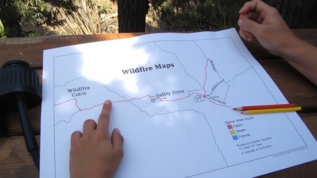
If you live in a wildfire-prone area, mapping your evacuation routes isn’t optional-it’s essential. You need at least two escape paths in case one is blocked. Relying solely on GPS is risky during emergencies when signals fail or roads close unexpectedly. Instead, study local maps and note primary and alternate routes. Pay close attention to evacuation signage along roads; visible, well-maintained signs improve decision speed when seconds count. Check route accessibility regularly-seasonal road closures, construction, or terrain issues can hinder passage, especially for larger vehicles or those with mobility limitations. Test each route under different conditions, including night and heavy traffic, to evaluate real-world performance. Mark fuel stops, shelters, and intersections. Keep printed copies in your car and share them with household members. This practical prep takes little time but greatly increases your odds of a safe, timely exit when flames approach. Choosing the right best survival maps can significantly enhance your preparedness and navigation during an evacuation.
Set Up Family Emergency Contacts
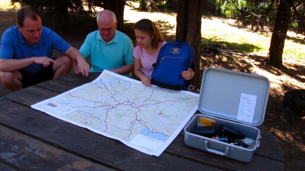
When disaster strikes and cell networks fail, having a prearranged communication plan guarantees you’re not left guessing about your family’s location or status. You need reliable emergency contacts outside your immediate area who can relay messages if local lines are down. Choose two contacts-one nearby, one out of state-so one can help if regional networks collapse. Share each person’s full name, phone number, email, and address with every family member. Write these in a wallet card and save them as “ICE” (In Case of Emergency) in phones. Test the communication plan every six months by doing a check-in drill. It’s not about emotion; it’s about function. A working plan reduces confusion, speeds reunification, and avoids wasted time. Rely on simplicity-landlines often outlast cell service. Your emergency contacts aren’t just names-they’re critical links in a real crisis.
Pack a Go-Bag for Each Household Member
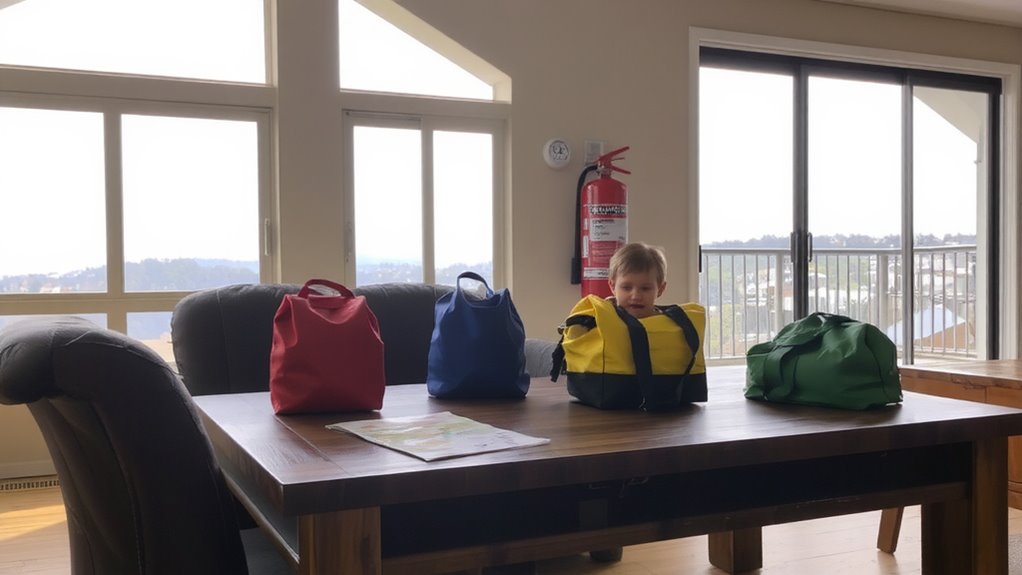
You need a go-bag ready for each person in your household-no exceptions. Start with essentials: one change of clothes, a flashlight, batteries, and a whistle. Include a first aid kit, N95 masks, and enough water for 24 hours. Choose a backpack that’s lightweight but holds at least 20 liters. Everyone should have their own go-bag packed with items that fit their needs. Add waterproof clothing to stay dry during evacuation, especially if smoke or rain is present. Durable footwear, like hiking boots, protects feet from hot debris and rough terrain. These materials must resist wear and perform under stress. Test the bag’s weight when packed-anything over 15 pounds becomes hard to carry. Keep bags accessible, not hidden. Check contents every six months. Replace expired items. A well-packed go-bag increases mobility and safety during fast evacuations. Choosing the right bug-out bags can significantly impact your preparedness and ease of evacuation.
Protect Your IDs, Deeds, and Medications
A fireproof safe with a UL rating of 1/2-hour at 1,700°F keeps documents intact during intense heat-this isn’t optional if you live in a wildfire-prone area. You need to secure documents like IDs, property deeds, insurance papers, and birth certificates. Off-site storage works, but quick access matters during evacuations. For medications, use childproof, moisture-resistant containers and store medications in a sealed, labeled bin near your go-bag. Rotate stock every six months to avoid expired supplies.
| Item Type | Storage Method | Reason |
|---|---|---|
| IDs & deeds | Fireproof safe | Survives high heat |
| Medical records | Waterproof digital copy | Accessible if safe fails |
| Prescription meds | Sealed, cool container | Prevents degradation |
Digital backups add redundancy, but physical copies in the safe guarantee access without power.
Turn On Local Fire and Emergency Alerts
Since timely warnings can mean the difference between a safe exit and being trapped, you’ve got to activate local fire and emergency alerts-this isn’t a set-it-and-forget-it task, but a necessity you confirm every fire season. Emergency alerts delivered via text, app, or voice call give critical minutes to respond. Relying on neighbors or social media delays reaction time. Most county systems send wildfire warnings automatically, but you must register your cell number and verify it annually. Some alerts use Wireless Emergency Alerts (WEA), which broadcast to phones in affected areas without opt-in, but these may lack detail. For broader coverage, pair official alerts with a NOAA weather radio or apps like CalOES or AirAlert, which offer real-time updates. Test alert settings quarterly. Signal degradation during power outages means having multiple delivery methods improves reliability. You need the facts fast-don’t wait for visible smoke. A reliable backup is a NOAA weather radio, which provides continuous broadcasts directly from the National Weather Service during emergencies.
Run Fire Evacuation Drills at Home
When the air starts to smell like ash and the sky turns orange, it’s too late to figure out where your keys are or who grabs the go-bag-running evacuation drills every season trims reaction time to under five minutes, which is critical when flames can move faster than a person can run. Fire drills guarantee everyone knows exit routes, meeting points, and roles. Practice with real conditions: wear shoes, carry go-bags, and time each trial. If you have pets or elderly family members, include their needs in the safety practice. Test both daytime and nighttime scenarios, as visibility and alertness differ. Poorly timed drills add delays; efficient ones cut decision fatigue. Conduct fire drills every three months-seasonal changes affect road access and wind patterns. Update plans if escape routes become blocked. Safety practice isn’t about fear, it’s about reducing uncertainty when seconds count. A rehearsed response is the most effective survival tool.
On a final note
You’ve mapped your evacuation routes and packed go-bags with meds, IDs, and essentials-each bag weighs under 15 pounds for quick carry. You run drills twice a year, cutting evacuation time by half. Alerts are on, contacts set. This plan doesn’t guarantee safety, but it improves response speed and coordination. It’s basic, tested, and adjustable. No gear replaces preparation, but clear steps reduce risk when minutes count.