Integrating Topographic Digital Maps With Physical Compass Bearings for Redundancy
You can’t trust GPS alone-phones drain fast in cold or dense cover. Pair your digital 1:24,000 topographic map with a baseplate compass for backup. Take bearings from your screen by aligning north-up and drawing a line to your target, then transfer it to the real world. Adjust for magnetic declination to match map and compass. When signal drops, you’ll keep moving accurately-knowing more guarantees you’re never truly lost.
Notable Insights
- Use 1:24,000 scale topographic maps on devices and match them with baseplate compasses for reliable navigation.
- Always adjust for magnetic declination to align digital map’s true north with compass magnetic north.
- Stabilize devices on flat surfaces when taking digital bearings to ensure precise compass alignment.
- Practice transitioning from GPS-guided routes to compass and pace count when signal or battery fails.
- Cross-verify terrain features seen on screen with physical landmarks to confirm accurate map and compass positioning.
Why Digital Maps Fail in the Wild
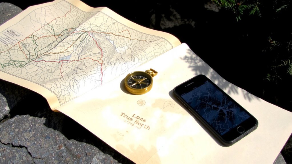
Even if your phone shows a perfect signal before you leave, it won’t do you any good when the battery dies halfway up the trail. Digital maps rely on continuous power, and most smartphones last under 8 hours with GPS active. Signal interference from dense tree cover, canyons, or storms disrupts data flow, making real-time tracking unreliable. Devices also suffer from environmental degradation-moisture, dust, and temperature swings weaken components over time. A dropped phone might survive concrete, but gravel trails and river crossings accelerate wear. Apps freeze, updates fail, and cached maps won’t help if you’re off-route. You can’t recalibrate a dead screen. Relying solely on digital tools means betting your navigation on hardware that degrades faster in the wild. Batteries drain quickly in cold air, and portable chargers add weight. Digital is convenient, but it’s not fail-safe when conditions worsen. Consider pairing your device with emergency maps for reliable backup navigation.
Pair Topographic Maps With Compass Basics
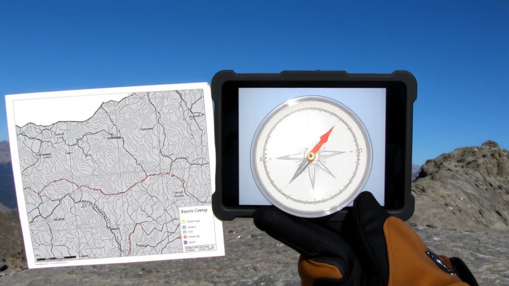
When you’re out where signals fade and batteries die, pairing a topographic map with a basic compass gives you a reliable backup that doesn’t need charging or updates. Understanding map scales lets you judge distances accurately, while recognizing terrain features helps confirm your position. You don’t need fancy gear-just a 1:24,000 scale map and a baseplate compass. Match ridgelines, valleys, and elevation changes on the map to what you see around you. A reliable choice for wilderness navigation is a baseplate compass due to its durability and ease of use in conjunction with topographic maps.
| Feature | Map Scale Use | Compass Role |
|---|---|---|
| Ridge | Judge length and spacing | Align map to terrain |
| Valley | Estimate travel distance | Verify direction |
| Summit | Identify key landmarks | Set bearing baseline |
This combo works because terrain features don’t move, and map scales offer consistent reference. You stay oriented even when tech fails.
Take a Bearing From Your Screen
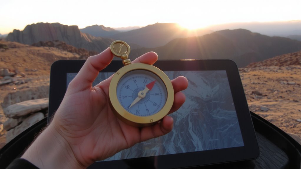
How do you find your way when GPS fails but you still have a digital map on a powered device? You take a bearing directly from your screen. Start by stabilizing the device on a flat surface and adjusting the screen orientation so the map aligns north-up. Most apps allow you to rotate the view, and keeping it oriented correctly reduces errors. Use cursor alignment to draw a straight line from your current position to your destination. Zoom in enough to place the cursor precisely-within 20 meters is acceptable for most navigation. The bearing is usually displayed in degrees relative to true north. This method relies on a working display and user accuracy, so confirm screen calibration first. It’s less reliable than a physical compass in poor light or when batteries run low, but it works when tools are limited. Record the bearing before the screen dims.
Match Your Compass to the Digital Map
You’ve got a bearing from your screen, but it won’t mean much if your compass doesn’t match the map’s north reference. Digital maps use true north, but your compass points to magnetic north-so you must adjust for magnetic declination. Check your map’s metadata or app settings for the local declination value, then set it on your compass if it’s adjustable. If not, manually add or subtract the declination angle each time you take a bearing. Getting this wrong means walking off course, sometimes substantially. Proper map orientation guarantees the terrain matches what you see around you, aligning your physical surroundings with screen-based planning. Skipping this step risks navigational errors, especially in low visibility or complex terrain. It’s not about fancy gear-it’s about matching systems. Accurate declination adjustment and consistent map orientation are baseline requirements for reliable navigation. Get them right, and your compass and map work as one. A reliable top pick compass ensures consistent performance in demanding trail conditions.
Switch Navigation Methods Seamlessly
Even though digital tools offer real-time tracking, relying solely on them leaves you vulnerable when batteries die or signal drops. You need smooth map shifts between digital displays and paper topographic maps to maintain orientation. Practice method switching so you can shift from GPS coordinates to compass bearings without hesitation. Align your digital map’s scale and north reference with your physical map to reduce errors during shifts. Use consistent grid systems so coordinates transfer accurately. A well-placed waypoint on screen should be identifiable with a quick bearing and pace count in the field. Method switching works best when both systems share the same datum and declination settings. Don’t wait for failure-integrate both methods regularly. This redundancy isn’t about backup-it’s about continuity. Your navigation stays accurate, regardless of tech status.
Test Your Skills When GPS Goes Offline
When your GPS cuts out, you’re no longer just testing backup skills-you’re confirming whether your preparation holds up. You’ll need dead reckoning to track direction and distance traveled, especially in featureless terrain. Start from a known point, use your compass bearing, and pace count to estimate position. It’s not perfect-errors accumulate, but it keeps you moving with reasonable accuracy. Pair this with terrain association: match visible ridges, valleys, or streams to your topographic map. These landmarks confirm your location and correct drift. Together, these methods reduce reliance on failing tech. In poor visibility or dense forest, terrain association becomes harder, making dead reckoning more critical. Practice both in varied conditions so you don’t fumble when it counts. Real readiness means traveling confidently without signals, using only map, compass, and observation.
On a final note
You can rely on digital maps until they fail-then your compass takes over. Pairing topographic maps with compass bearings gives you redundancy when signals drop. Taking a bearing from screen to compass works if done accurately. Switching between methods smoothly saves time and reduces error. Test this setup offline regularly; it’s not about gear, it’s about skill. Accuracy depends on practice, not technology.