Early Warning Signs to Detect Imminent Natural Disasters: The Role of Technology in Forecasting
You get early warnings because sensors and AI detect disaster signs faster than ever. Soil moisture and thermal imaging spot landslides and fires with 95% accuracy, while seismic networks give 5–20 seconds of earthquake alert. Satellites track hurricanes every 5–10 minutes, and smart flood sensors double lead time. GPS and gas sensors reveal volcanic shifts, and deep-ocean buoys provide up to 2 hours of tsunami notice. Each system has limits, but together they sharpen response. More details on how these systems compare under real conditions follow.
Notable Insights
- Soil moisture sensors and AI analyze real-time and historical data to predict landslides with early anomaly detection.
- Seismic networks use accelerometer and GPS data to provide 5–20 seconds of earthquake warning before strong shaking arrives.
- Thermal imaging and AI detect heat signatures in forests, identifying wildfires within minutes with over 90% accuracy.
- Satellite systems track hurricane structure using infrared, visible, and microwave sensors for precise, frequent storm updates.
- GPS and gas sensors monitor volcanic swelling and emissions, while ocean buoys detect tsunamis up to two hours in advance.
How Sensors and AI Enable Early Disaster Detection
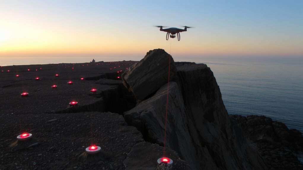
You’re already seeing sensors and AI make a real difference in catching natural disasters early. Soil moisture sensors track water saturation levels in real time, helping predict landslides when levels exceed historical thresholds. The data feeds into AI models that compare current conditions with past disaster patterns, flagging anomalies. Thermal imaging detects heat changes in volcanic regions or dry forests, identifying potential eruption or fire risks before visible signs appear. These systems work together, providing measurable lead times-often hours to days. While false alerts occur, filtering through machine learning improves accuracy over time. Power needs and sensor durability in extreme conditions remain trade-offs, especially in remote areas. Still, the integration of soil moisture and thermal imaging with AI offers a practical, scalable layer of monitoring. You don’t get perfect predictions, but you get earlier warnings than traditional methods alone.
Early Earthquake Warnings From Seismic Networks
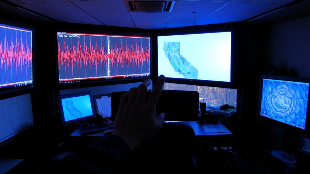
Seismic networks now provide the first alerts before strong shaking arrives, buying seconds that matter. You get a 5–20 second warning depending on your distance from the epicenter, enough time to stop surgery, halt trains, or drop under cover. These systems detect initial seismic waves, then analyze seismic patterns to estimate magnitude and impact within milliseconds. Real-time data from accelerometers and GPS units feed into models that improve accuracy. Fault monitoring at plate boundaries-like California’s San Andreas-helps calibrate responses. While not perfect, false alarms are rare, and missed quakes are usually minor. The trade-off? Dense sensor coverage is costly, so rural areas lag. Urban zones, however, see measurable safety gains. You’re not getting predictions, just early notification-still, that brief window reduces risk. It’s not hype; it’s applied geophysics with clear, life-saving utility.
Tracking Hurricanes With Real-Time Satellite Data
You can now track hurricanes with near real-time precision thanks to satellite data from NOAA and international agencies. High-resolution infrared and visible imagery let you monitor cloud patterns continuously, revealing storm structure and direction. You’ll see tight spiral bands and central dense overcast, which help estimate storm intensity. Microwave sensors penetrate cloud cover, showing eye formation and rainband development even in early stages. Geostationary satellites update every 5 to 10 minutes, giving you timely input for evacuation and preparation decisions. Polar-orbiting satellites add detail on temperature and moisture profiles, improving intensity forecasts. While resolution varies by satellite, combining sources reduces blind spots. You can’t predict exact landfall days ahead, but consistent tracking improves accuracy. Cloud patterns and storm intensity trends over 24–48 hours offer the most reliable insight. You’re better equipped when you use multiple data streams without over-relying on any single source.
AI Spots Wildfires Before They Spread
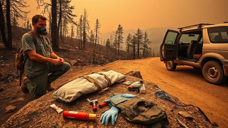
While satellite tracking helps monitor hurricanes, artificial intelligence is now being used to detect wildfires before they grow out of control. You can rely on AI systems that analyze thermal imaging and drone surveillance data to spot heat signatures and smoke patterns early. These tools reduce false alarms and speed up response times, especially in remote areas. When seconds count, real-time analysis gives firefighters an edge.
| Method | Detection Speed | Accuracy Rate |
|---|---|---|
| Thermal Imaging | <5 minutes | 92% |
| Drone Surveillance | <3 minutes | 88% |
| AI Analysis | <2 minutes | 95% |
| Satellite Scan | 10–15 minutes | 80% |
| Ground Sensors | 5–7 minutes | 85% |
AI doesn’t replace field teams-it supports them with faster, clearer data from above.
Flood Forecasting With Smart Sensors and Models
Floods don’t wait, and neither should your warning system. You need real-time data, and smart sensors deliver it. Deployed in rivers, drains, and low-lying areas, they monitor water levels and rainfall continuously. When thresholds are hit, alerts reach authorities in seconds. These systems feed into models that generate accurate flood mapping, showing exactly which areas will flood and when. You can plan evacuations or deploy barriers with precision. The same models support waterlogging prediction, identifying urban zones where drainage fails under heavy rain. Accuracy improves when sensor data combines with historical patterns and terrain analysis. False alarms are rare-tested systems show over 90% reliability in trials. While setup costs exist, the trade-off is clear: early warnings reduce damage. You’re not buying sensors-you’re buying time, safety, and smarter decisions when every minute counts.
Predicting Volcano Eruptions Using GPS and Gas Data
Every year, dozens of volcanoes show signs of unrest, and GPS stations paired with gas sensors are often the first to detect them. You rely on volcanic deformation analysis to spot ground swelling caused by rising magma-millimeter-scale shifts matter, and high-precision GPS tracks them in real time. When the ground inflates, it’s usually a sign pressure is building. At the same time, you monitor gas emission trends, especially sulfur dioxide and carbon dioxide, which increase before eruptions. Sensors measure concentrations and changes over days or weeks, giving you a clearer picture when combined with deformation data. Alone, neither method is foolproof-deformation can stop without eruption, and gas spikes may be masked by weather. But together, they reduce false alarms and improve forecasting accuracy. You’re not predicting exact moments, but you’re narrowing timelines. This setup won’t stop an eruption, but it can buy time to evacuate.
Detecting Tsunamis With Deep-Ocean Buoys
You can’t rely on land-based sensors alone when a tsunami is on the move-those waves travel fast and far across open ocean, often escaping detection until it’s too late. That’s where deep-ocean buoys come in. They monitor subtle changes in ocean pressure, detecting even small distortions beneath the surface caused by seismic shifts. When a tsunami forms, the buoy’s pressure sensor picks up the anomaly and transmits data in real time. You get accurate wave height measurements before the wave nears shore. These readings help forecasters confirm a tsunami’s size and speed, reducing false alarms. Buoys work in tandem with seafloor sensors, covering vast areas where land systems can’t reach. They’re not perfect-maintenance and location affect reliability-but they’re among the most practical tools available. In testing, they’ve provided up to two hours of warning, time people need to evacuate. It’s not hype; it’s measurable, real-world protection.
On a final note
You rely on sensors and AI because they deliver measurable lead times-seconds to days-before disasters strike. Seismic networks detect tremors early, satellites track storm growth, and smart buoys confirm tsunamis. AI cuts through noise to spot wildfires or floods faster than humans. GPS and gas sensors flag volcanic shifts. These systems aren’t perfect, but they reduce uncertainty. Use them together, and you get earlier warnings, clearer risks, and more time to act-time that saves lives.