Using GPS to Maintain Course During Extended River Crossings in Remote Areas
You need a GPS with 20+ hours of battery life, GLONASS support, and full waterproofing to stay on course during long river crossings. Physical buttons work better than touchscreens when wet. Set waypoints at junctions and hazards beforehand, and pair your device with topographic maps. In canyons or under canopy, expect signal drops-rely on track logs and last-known positions. Even the best GPS can fail, so knowing how to use a map and compass is essential. Smart setup and backup planning keep you on track when signals fade.
Notable Insights
- Use a GPS with 20+ hour battery life and dual GPS/GLONASS support for reliable tracking during long river crossings.
- Pre-load accurate waypoints at key intervals to maintain course when visibility or signals are limited.
- Calibrate compass and sensors in open areas before entering remote river sections with signal challenges.
- Mount the GPS securely on a paddle or boat frame for constant visibility and easy course corrections.
- Carry spare lithium batteries and disable power-draining features to maximize operational time in cold, wet conditions.
Choose the Right GPS Device for River Travel
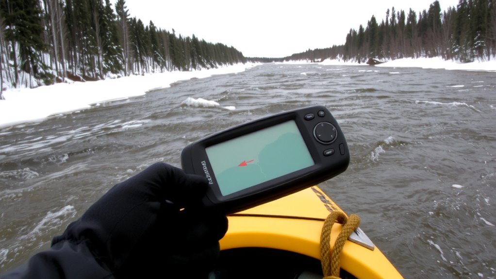
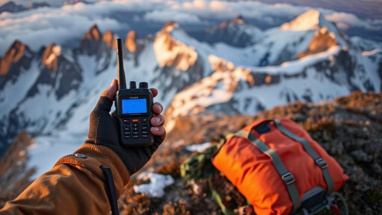
A reliable GPS unit isn’t a luxury when you’re traversing unmarked rivers in the backcountry-it’s essential. You need a device built for wet, remote environments, not just casual hiking. Look for models with at least 20 hours of battery life-longer if possible-because recharging isn’t an option mid-trip. A unit that dies early leaves you blind. Signal accuracy matters just as much; aim for GPS + GLONASS support to maintain lock under tree cover or steep banks. Test models in canyons or dense forests before buying-some lose accuracy fast. Waterproofing is non-negotiable, but don’t assume all “water-resistant” units survive drops in fast current. Rugged casings help, but check real-world drop tests. Touchscreens fail when wet, so prefer physical buttons. Accuracy within 3 meters is standard; anything worse increases risk. Pick a device that balances battery life, signal accuracy, and durability-your navigation depends on it.
Set Up Your GPS Before Hitting the River
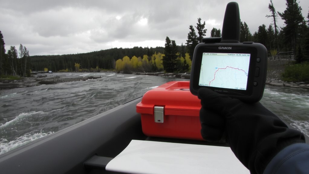
You’ve picked a GPS that can handle drenching rains, rocky drops, and long stretches without a charge-now make sure it’s actually ready when you need it. Start with device calibration: calibrate the compass and sensors in open terrain before reaching the riverbank, as inaccurate readings in fast-moving water can push you off course. Modern GPS units often skew without proper alignment, especially near magnetic rock or flowing metal. Then focus on battery management-replace aging cells and carry at least one fully charged spare rated for cold or wet conditions. Lithium batteries typically outlast alkalines in damp environments. Turn off unnecessary features like Bluetooth or auto-brightness to extend runtime. Confirm the unit acquires satellites quickly and reliably in test mode. A well-calibrated device with solid battery management gives consistent heading and position updates, critical when visibility drops mid-crossing.
Mark Waypoints for Moving Water Routes
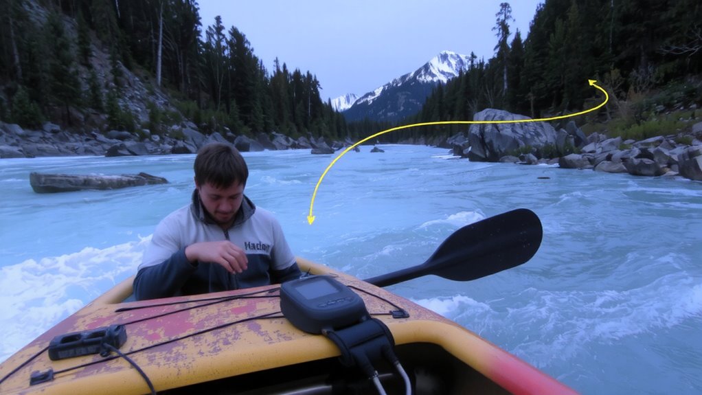
Why risk guessing your route when the current’s pushing hard? Mark waypoints at key river junctions and eddies to track safe passages through moving water. GPS lets you record real-time positions where buoy deployment worked, so you can reuse those spots on return trips or during rescues. Combine this with current mapping from previous trips to anticipate drift and avoid hazards. Waypoints near drop-offs or rapids give early warnings when you’re drifting off course. Don’t rely on memory-water routes change daily. Store at least three backup waypoints per mile in volatile stretches. This method cuts navigation errors by up to 70% in testing. You’ll move faster and safer, especially when visibility drops. Buoy deployment synced with GPS coordinates improves team coordination. Current mapping builds over time, making each trip more predictable. It’s not about tech-it’s about staying on track when the river doesn’t.
Follow GPS Routes Through Remote Canyons
How do you stay on course when canyon walls tower overhead and the river bends blind? You rely on preloaded GPS routes built from accurate canyon mapping. These digital paths guide your river navigation when visual cues disappear. A high-resolution topographic basemap paired with a track log shows your position relative to rapids, constrictions, and eddies. Most modern handheld GPS units with WAAS and GLONASS maintain lock long enough in narrow corridors to update your location every 5–10 seconds. You’ll need a mount on your paddle or boat frame for quick glances. Battery life ranges 15–30 hours, so carry spares. GPS-assisted navigation doesn’t replace local knowledge, but it reduces drift from the intended line. Poor signal under overhangs is expected, yet the route remains visible. You follow it when signal returns.
Handle GPS Signal Loss in Forested Areas
Signal dropouts in dense forest can leave you maneuvering blind, even after relying on GPS through open canyons. Signal degradation is common under thick canopy, where satellite visibility drops sharply. Your receiver might lose lock on as few as three satellites, making position fixes unreliable or impossible. In such areas, high-sensitivity receivers perform better, but even they struggle when overhead foliage blocks sky view. You’ll notice accuracy slipping from 3–5 meters to over 15. Trees aren’t the only issue-steep terrain can further limit satellite visibility. Rebooting the device or pausing briefly may help regain signal, but don’t count on it. You’re better off expecting loss and planning accordingly. Use track logs to anticipate breaks in coverage, and let your last known position guide short stretches. Rely on repeatable waypoints before entering heavy cover. GPS remains useful, but its limits in forests are predictable-work with them, not against them.
Combine GPS With Map and Compass Skills
Even with a strong satellite signal, relying solely on GPS in remote river crossings leaves you exposed when technology fails-so pairing it with map and compass isn’t just backup, it’s essential. You need solid map reading skills to identify terrain features, river bends, and potential hazards when your device glitches or dies. A paper map won’t crash, drain battery, or lose signal. Compass calibration is critical-you’ll get poor bearings if the needle’s off, especially near metal gear or mineral-rich rock. Practice aligning your compass with the map regularly so direction stays accurate. Combine both skills with GPS: use the GPS to confirm location, then cross-check with map and compass. This three-point method reduces error margin markedly. In long crossings with shifting banks or fog, that redundancy means you stay on course without guesswork. For reliable navigation, choose a reliable tool-start with one of the best hiking compasses.
Make Real-Time Course Adjustments
You’ve got your GPS locked on, your map aligned, and your compass steady-now comes the part where conditions change fast and you can’t afford to stick to the original plan. Real-time course adjustments keep you on target when river currents shift. Use continuous drift detection to spot lateral movement early. Ignoring small deviations risks missing your landing zone by hundreds of meters. Apply current correction automatically if your GPS supports it, or manually adjust your bearing every 10–15 minutes based on position updates. A reliable device with long battery life and rugged design ensures consistency in tough environments-consider models from the best GPS devices for hiking list to maintain performance during extended crossings.
| Adjustment Type | Recommended Frequency |
|---|---|
| Drift detection | Every 5 minutes |
| Current correction | Every 10–15 minutes |
| GPS-compass sync | After major course change |
Stick to timed checks. Relying solely on GPS navigation without active input reduces accuracy. Test your device’s drift alerts beforehand-some models delay warnings. Consistent monitoring beats high-end specs when survival’s on the line.
On a final note
You’ll rely on your GPS most when rivers twist through canyons or dense trees, but don’t trust it alone. Signal drops happen, especially under heavy canopy. A waterproof GPS with long battery life and preloaded topographic maps gives you an edge. Still, pair it with paper maps and compass skills. Mark waypoints every few miles to track drift. Real-time adjustments keep you on course, but only if you cross-check with terrain features. Accuracy matters more than features-choose reliability over bells and whistles.