Creating Maps Using Natural Landmarks: Basic Cartography Skills for the Unprepared Survivor
You can find north using the sun-mark a shadow tip, wait 15 minutes, then draw a line between two positions; the first mark is roughly west, so north is 90 degrees left. Use rivers, peaks, and unique trees to identify key landmarks. Measure distance by pacing-one step every meter-and sketch features relative to north. Update your map often with new terrain changes. Stay accurate by focusing on unmistakable, fixed references. There’s more to sharpening this system in any terrain.
Notable Insights
- Use shadows from a vertical stick to determine east-west and find north for map orientation.
- Identify rivers, mountain peaks, and unique trees as reliable landmarks for accurate positioning.
- Estimate direction using the sun, stars like Polaris, and terrain features when tools are unavailable.
- Sketch landmarks with consistent symbols, focusing on shape, spacing, and unmistakable natural features.
- Update your map continuously with new observations to reflect terrain changes and avoid navigational errors.
Find North Using Sun and Terrain
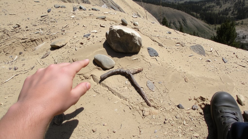
How do you find north when you don’t have a compass? You use the sun shadows and terrain patterns around you. Set a stick vertically in flat ground and mark where its shadow lands. Wait 15 minutes, mark again. The line between points runs roughly west to east; north is 90 degrees left of the first shadow if you’re in the northern hemisphere. This method works best mid-morning or mid-afternoon, less so near noon or the equator. Terrain patterns also help-north-facing slopes in the northern hemisphere often hold more moisture and support denser vegetation. Valleys, ridgelines, and consistent slope directions can confirm your orientation when aligned with sun shadows. These techniques aren’t perfect but are reliable within 10–20 degrees under clear skies. They require no tools, just observation over time. Use both together to reduce error.
Identify Rivers, Peaks, and Unique Trees
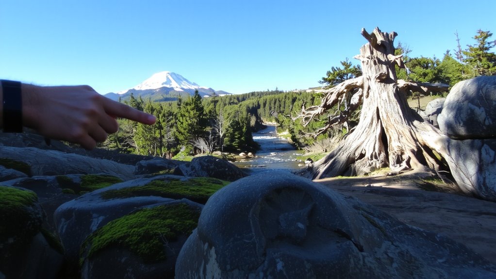
You’ve used the sun and terrain to get your bearings, but fixed landmarks give you more certainty. Rivers, peaks, and unique trees are reliable reference points. River patterns reveal topography-meandering lines suggest flat land, while straight or V-shaped flows indicate slopes or canyons. Peaks stand out clearly on horizons and help triangulate position. Isolated tree species, especially large or deformed ones, serve as markers you can trust over distance.
| Feature | Why Useful | Example Observation |
|---|---|---|
| River | Follows consistent path | Wide bend to the east, slow flow |
| Mountain Peak | Visible from miles away | Sharp summit, snow-covered north |
| Unique Tree | Rare shape or species | Lone, twisted oak with split trunk |
Note dominant tree species and river patterns-they change slowly and can verify your location across days. For long-term survival, consider consulting top emergency maps to cross-reference your handmade observations with established geographic data.
Measure Distance and Direction Without Tools
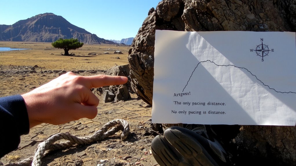
Isn’t it more reliable to estimate distance and direction using what’s already around you? You can use shadow sticks to find cardinal directions when the sun’s out. Plant a stick in the ground and mark the tip of its shadow; wait 15 minutes and mark it again. The line between the marks runs roughly east-west. For night travel, star navigation works if you know key constellations. In the Northern Hemisphere, Polaris marks true north; its position changes little over time. To estimate distance, pace it out-count every other step as one meter. Use terrain features: walking across flat ground takes less time than uphill. Shadows and stars won’t replace tools, but they’re dependable when you’ve got nothing. These methods won’t give lab-grade accuracy, yet they offer sufficient direction and distance estimates for survival mapping.
Draw Your Map From Landmarks
While natural landmarks won’t give you GPS-level precision, they’re reliable reference points when drawing a survival map. Use prominent features like ridgelines, rivers, or isolated trees to establish map orientation and anchor your terrain memory. Sketch each landmark in relative position, focusing on shape and spacing. Keep your symbols simple and consistent.
| Landmark Type | Use in Map |
|---|---|
| River bend | Directional guide |
| Mountain peak | Central reference |
| Fallen log | Short-range marker |
| Rock outcrop | Terrain memory aid |
| Creek junction | Navigation node |
Your sketch doesn’t need scale perfection-just enough detail to reflect reality. Prioritize landmarks that are unmistakable and unlikely to change. Match what you see now to what you recall from past movement. This builds terrain memory over time. Guarantee map orientation stays aligned with north or a fixed feature so you can refer back without confusion. Choosing the right survival map can enhance your ability to interpret natural landmarks effectively in real-world conditions.
Update Your Map as You Move
As you move through unfamiliar terrain, mark new landmarks on your map immediately-delaying risks misplacement or confusion later. Map updates keep your position accurate and your navigation reliable. When terrain changes appear-like washed-out gullies, fallen trees, or new trails-note them right away. These shifts impact route choices and travel time. A cliff you can’t bypass, a river that’s risen, or a burned forest alters your path, so your map must reflect that. Use simple symbols: a zigzag for rough ground, an X for blocked passages. Don’t wait until camp-details fade fast. Your map isn’t static; it’s a working tool. Regular updates maintain consistency with reality. Skipping updates increases error accumulation. Over long distances, even small inaccuracies compound. Mark cardinal direction shifts, elevation breaks, and water sources. Current, accurate maps reduce backtracking. In survival, time and energy matter-update your map as you move.
On a final note
You can find north using the sun’s position and terrain cues, then identify rivers, peaks, or distinct trees to anchor your bearings. Measure distance by pace and direction by sight, updating your map as you move. No tools? No problem-natural navigation works if you stay consistent. Accuracy improves with practice, though it demands attention to detail and regular checks. It’s basic, reliable, and requires nothing you won’t already have.