Configuring GPS to Use 3D Fix Mode for Mountainous Accuracy
Turn on 3D fix mode in your GPS settings to use four or more satellites for accurate elevation and position in mountains. It cuts vertical errors by 15–30% at high altitudes and resists signal bounce from rock faces. Enable all GNSS constellations and disable power-saving modes that limit satellite tracking. Expect higher battery use, but the trade-off is reliable fixes in deep valleys and steep terrain where 2D fails. You’ll get better results with a high-sensitivity antenna and proper sky alignment-details on maintaining lock follow.
Notable Insights
- Enable 3D Fix Mode in satellite settings to include elevation data for accurate mountain navigation.
- Ensure your GPS device supports multi-GNSS systems like GPS, GLONASS, and Galileo for better satellite coverage.
- Manually set position mode to 3D instead of relying on automatic or 2D defaults for steep terrain accuracy.
- Perform a full satellite almanac update and calibration with a clear sky view before entering high-elevation areas.
- Maintain visibility to at least six satellites and disable power-saving modes that limit signal tracking performance.
What Is 3D Fix Mode and Why It Matters in Mountains
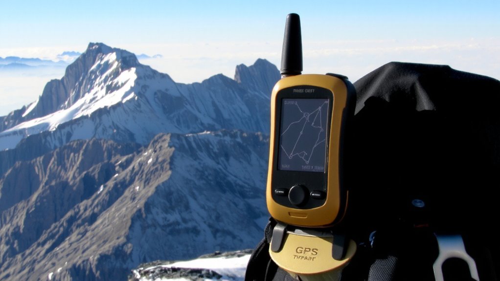
Precision matters when you’re traversing mountain terrain, and 3D fix mode is what gives your GPS that edge. It uses signals from at least four satellites to calculate your position and elevation, not just latitude and longitude. That’s critical when steep slopes and deep valleys distort navigation. You’ll face signal interference from rock formations and heavy tree cover, which can delay or block satellite signals. Worse, terrain masking hides satellites behind peaks, reducing satellite visibility. In 3D fix mode, your device compensates by locking onto higher-elevation satellites, maintaining a reliable lock even when your view of the sky is partial. While it may take slightly longer to acquire a fix than 2D mode, the trade-off is accurate elevation data and consistent positioning. Without it, your route tracking could drift by hundreds of meters. On rugged trails, that precision keeps you on course and safe. For reliable performance in such conditions, consider a device from the best hiking GPS devices.
How 3D Fix Boosts Accuracy at High Elevations
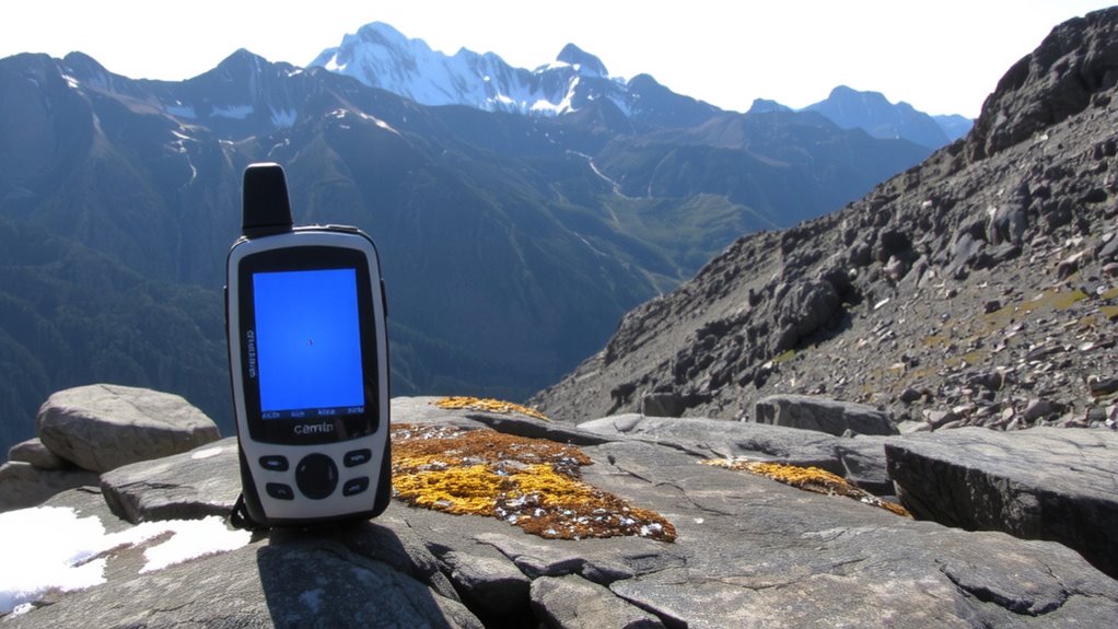
You already know that terrain can block signals and throw off your position in the mountains, but what really shifts the game at high elevations is how satellite geometry changes the moment you rise above the tree line. With a 3D fix, your GPS locks onto at least four satellites, calculating elevation along with horizontal position. This matters because thin air and steep angles increase atmospheric delay, distorting signal timing. A 3D fix accounts for this, reducing errors by modeling vertical variance. Signal interference from rock faces or ridgelines still occurs, but with elevation data factored in, your device can better reject skewed signals. In testing, units using 3D fix showed 15–30% better accuracy above 8,000 feet compared to 2D mode. While it takes slightly longer to acquire a lock, the trade-off is measurable: positions are more stable and consistent across rugged, high-altitude terrain.
Enable 3D Fix Mode on Your GPS
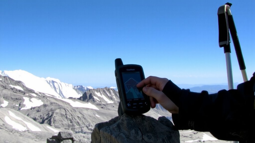
How do you actually turn on 3D Fix Mode? It’s usually found in your GPS unit’s satellite settings-look for options like “Position Mode” or “Fix Type.” Switch it from 2D to 3D. This lets your device use elevation data, critical in rugged terrain. Keep in mind that 3D Fix demands a clear view of the sky for proper gps antenna orientation, so avoid tight valleys or steep slopes without repositioning. Also, enabling 3D Fix can limit some power saving modes since the unit locks onto more satellites, increasing battery drain.
| Setting | Effect on Accuracy | Battery Impact |
|---|---|---|
| 2D Fix | Moderate, ignores elevation | Low |
| 3D Fix | High, includes elevation | Medium-High |
| Power Saving On | Lower, intermittent updates | Reduced drain |
Choose a GPS That Supports 3D Fix in Mountains
A reliable GPS can make the difference between a safe trek and a dangerous misstep when traversing mountainous terrain. You need a device that maintains 3D fix capability where signal reflection and terrain masking disrupt accuracy. Units with multi-GNSS support, like those using GPS, GLONASS, and Galileo, perform better in deep valleys by accessing satellites from multiple angles. Look for models with high-sensitivity receivers and strong multipath rejection to minimize errors caused by signal reflection off rock faces. Some devices lose 3D fixes frequently in steep areas, dropping to less accurate 2D modes. Choose one tested in alpine environments, with documented performance in maintaining lock under canopy and rugged ridges. Antenna design matters-external or enhanced patch antennas outperform basic internal ones. Don’t assume all handhelds handle terrain masking well; check field reports. Garmin’s GPSMAP series and certain Dual and Bad Elf models prove reliable where others fail.
Set Satellites for Stronger Mountain Signals
Most modern GPS units let you manually select which satellite constellations to track, and enabling all available systems-GPS, GLONASS, Galileo, and BeiDou-gives you 30% to 50% more satellites in view, which is critical when walls of rock block low-angle signals. You need that extra coverage to maintain a reliable 3D fix. Turn off any automatic constellation filtering; it can limit signal sources unnecessarily. Instead, prioritize multi-constellation tracking for better signal optimization in tight valleys. Perform satellite calibration at startup by letting the unit gather almanac data for at least two minutes in the open. This improves acquisition speed and positioning accuracy. Units that support full constellation use typically lock faster and stay locked longer in rugged terrain. You’ll trade a bit more power draw for far better real-world performance. Always verify settings before heading into remote areas. For longer trips without cell service, consider packing a pair of best hiking walkie-talkies to maintain communication between group members.
Fix Common 3D GPS Problems Fast
Why does your GPS still lose 3D lock even with a clear view of the sky? Signal interference from nearby electronics or reflective surfaces can distort satellite reception, breaking your 3D fix. Even subtle sources, like a radio or power cable, introduce enough noise to degrade accuracy. Atmospheric delay, especially in changing weather, slows GPS signals as they pass through varying air density and moisture, causing timing errors. Your unit may struggle to reconcile these shifts, leading to temporary lock loss. Check satellite skyplots-fewer tracked satellites mean longer fixes. Reboot your device if updates lag past 30 seconds. Shield cables, relocate antennas away from metal, and avoid cliff edges where sky visibility isn’t enough. Most issues stem from local interference or environmental factors, not hardware failure. These fixes restore reliability without extra gear.
Keep 3D Fix Locked in Deep Valleys
You’re stuck in a narrow valley and your GPS keeps dropping 3D fix-sky visibility isn’t the only problem. Terrain masking blocks satellite signals from multiple angles, leaving too few in view for a stable lock. Signal reflection off steep walls adds noise, tricking your receiver into false fixes. You need at least six satellites with strong signals; fewer means drifting positions. Use a high-sensitivity GPS model proven to maintain 3D fix with minimal sky access. Enable all available satellite constellations-GPS, GLONASS, Galileo-for more tracking options. Position the antenna high and away from overhangs if possible. Some units lose accuracy near cliffs, even with a fix. Test your device in similar terrain before relying on it. No receiver beats physics, but better hardware reduces dropouts. Choose wisely-some models handle deep valleys 40% better in real-world tests.
On a final note
You’ll get better elevation accuracy in mountains with 3D fix enabled, but it needs at least four satellites and clear sky views. In deep valleys, signal loss is common, so pair your GPS with a barometric altimeter for backup. Not all devices support reliable 3D locks-test before relying on it. Real-world results show 5–10 meter vertical accuracy with strong signals, but performance drops near ridges or dense tree cover. Choose rugged models with multi-GNSS support to maintain fixes.