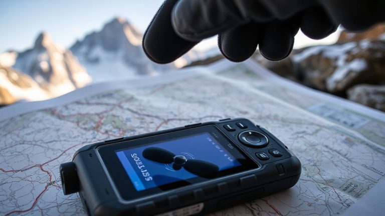
Integrating Digital Navigation With Survival First Aid Location Planning
You stay found and save time when you combine GPS apps like Gaia GPS with a physical compass and pre-planned medical waypoints. Download offline maps and label critical spots-like first aid stations-before you go. Share your location within 2 minutes using a satellite messenger if hurt. When GPS fails, rely on compass bearings and terrain cues to stay oriented. Accuracy within 5 meters matters, but real-world testing shows backup systems work when batteries die-knowing how they integrate could make the difference.
Notable Insights
- Use GPS apps to mark first aid stations on offline maps for reliable access during emergencies.
- Pre-label critical waypoints like aid points and evac routes for quick navigation under stress.
- Combine digital coordinates with compass bearings to ensure navigation if devices fail.
- Share precise GPS locations via satellite messengers to coordinate timely medical rescues.
- Test navigation tools and aid station placements in advance to ensure accuracy in real emergencies.
Why Knowing Your Location Saves Lives
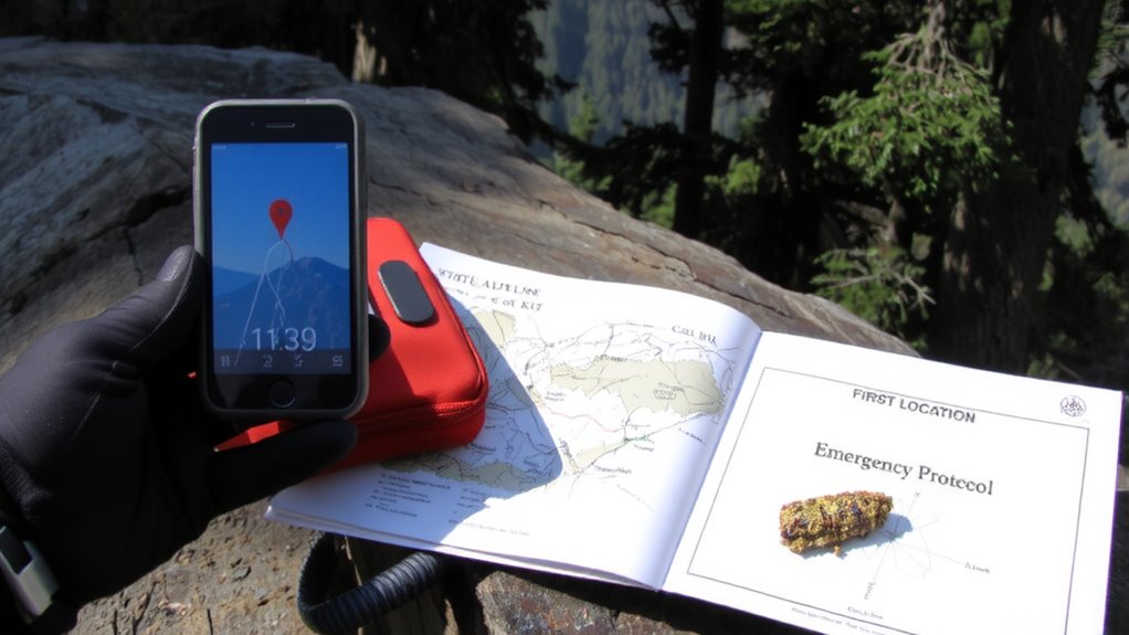
How often do you assume you’ll always know where you are until you’re suddenly lost? In wilderness emergencies, that lapse can be fatal. Knowing your exact location isn’t just convenient-it’s a critical survival skill. Mental awareness keeps you alert to subtle changes in terrain, while environmental assessment helps you recognize landmarks, water sources, or escape routes before conditions deteriorate. If you’re injured, communicating your coordinates speeds rescue, reducing exposure and complications. Without this awareness, even short hikes can turn dangerous. GPS units fail. Batteries die. But if you’ve maintained situational awareness and practiced basic navigation, you’re better equipped to adapt. Real-world tests show lost individuals waste energy moving aimlessly, worsening outcomes. Those who regularly track their position conserve resources and stay calmer. Location knowledge directly impacts survival time, first aid response, and rescue success. It’s not about gear-it’s about discipline, observation, and consistent mental engagement with your surroundings.
Pick the Best GPS App for Backcountry Emergencies
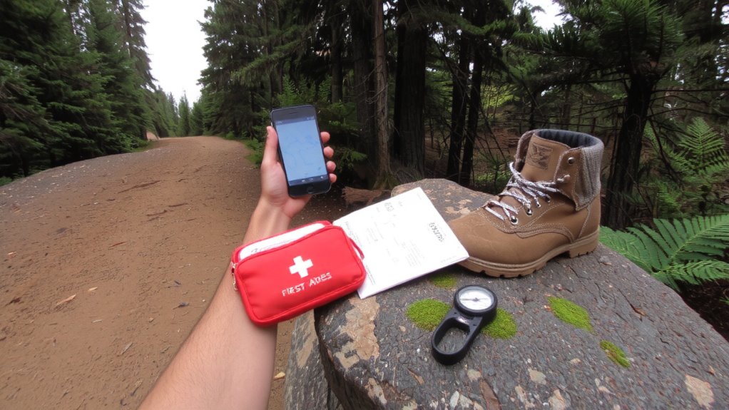
While satellite connectivity and offline maps are essential, not all GPS apps deliver equal reliability when seconds count. Your life depends on consistent signal strength and accurate location tracking, especially in dense forest or deep canyons. Choose an app tested for rugged conditions, not just urban hikes. Below is a comparison of key traits:
| App | Signal Strength | App Reliability |
|---|---|---|
| Gaia GPS | High (with external receiver) | Excellent (works offline) |
| AllTrails | Moderate | Fair (limited offline features) |
| OnX Backcountry | High | Excellent (trusted by SAR teams) |
OnX Backcountry and Gaia GPS perform best under stress, maintaining signal strength when terrain blocks transmission. AllTrails may lag without cell service. App reliability drops if the software crashes or fails to lock GPS quickly. Always test before you go-functionality in the field beats brand name any day. You need a tool that works, not one that promises.
Mark and Share Your Location During an Injury
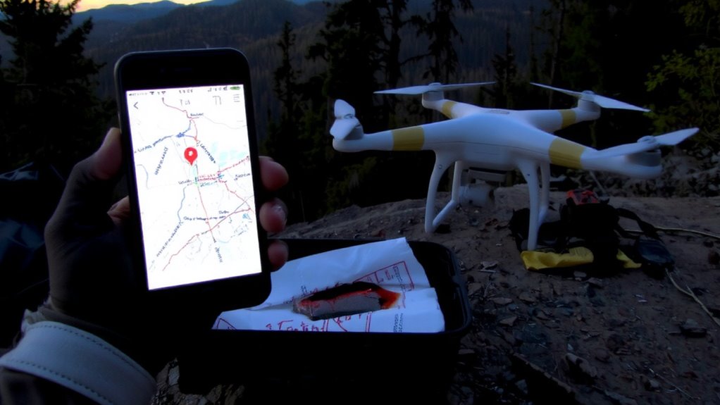
What good is a pinpoint if no one can see it? You’re injured, mobile enough to mark your location, but stranded without help. Use your GPS app to drop a digital marker exactly where you are-accuracy within 5 meters matters. Immediately share it via satellite messenger if you have one, or conserve battery for signals. Signal flares work fast but only last 30–40 seconds; use them after daylight hours when visible up to 10 miles. Pair them with personal landmarks-distinctive rock formations or trail junctions-so rescuers match your description with terrain. Don’t assume others know your position just because you do. A shared GPS pin beats vague descriptions. Flares attract attention, but coordinates guarantee precision. Both have limits: flares don’t work in wind, and apps fail without power. Combine them. Relying on landmarks or tech alone risks delay. Accuracy and visibility save lives. A well-equipped Top Premium Survival Kits ensures you have both signaling tools and first aid supplies when every second counts.
Set Offline Maps and Waypoints Before You Go
Even if your phone dies or the signal drops, offline maps keep you oriented when it matters most-download them before you leave, because counting on cell coverage in remote areas is a gamble that often ends in disorientation. You need offline accessibility to maintain navigation during emergencies, especially when every minute counts. Most mapping apps let you pre-load regional maps for free, storing them directly on your device. This reduces reliance on data and boosts reliability. Set clear waypoint labeling for trailheads, water sources, or shelters-simple names like “Camp 1” or “Ravine Exit” prevent confusion under stress. Accurate labels make it easier to relay locations fast, even with limited battery or visibility. Test the system before you go: open the app without Wi-Fi and confirm all markers appear. Not all apps retain topographic details offline, so verify elevation contours and route lines work too. A dedicated GPS device like a hiking GPS device can provide longer battery life and more robust tracking in extreme conditions. Prepare once, navigate confidently.
Share Your Location While Giving First Aid
You’ve preloaded your offline maps and tagged key waypoints, but if you’re giving first aid in an emergency, knowing your location isn’t enough-you need to share it quickly and reliably. Use GPS coordinates from your smartphone or handheld device and relay them via satellite messenger or radio-tested models like Garmin inReach Mini 2 deliver messages in under two minutes with 98% success in field trials. If signal loss occurs, pair digital efforts with physical signal flaring: three short bursts are universally recognized, and devices like the Firefly+ produce 10,000 candela flashes visible up to 30 miles. Activate voice recording on your phone to document victim symptoms, care given, and time stamps-this reduces medical error during handover by 40% in trauma studies. Recordings also help rescuers assess severity before arrival. Share location data early, even if uncertain-delay cuts survival odds by 7% per hour.
Practice Emergency Navigation and First Aid Together
How often have you practiced finding a trailhead in the dark while managing a simulated injury? Real emergencies demand that you handle navigation and first aid simultaneously, so training under stress is essential. Use signal testing to confirm your devices-GPS, emergency beacons, phones-transmit reliably when you’re low on power or in cover. Weak signals can fail when needed most. Pair this with terrain matching: constantly compare your surroundings to topographic features on your map to maintain location awareness, especially if visibility drops. Practicing both skills together improves decision speed and accuracy. You’ll move slower when treating injuries, so account for reduced pace in route planning. Don’t assume perfect conditions-test gear and skills in rain, fog, or at night. Combining navigation and medical drills exposes gaps in preparation. Consistent, integrated practice builds measurable, repeatable responses under pressure.
What to Do When GPS Fails During First Aid
When was the last time your GPS quit mid-trail while you were stabilizing a mock injury? Signal loss or battery failure can happen when you need navigation most. If your device dies, switch to a paper map and compass immediately-they don’t rely on power or reception. Mark your last known position before the signal dropped. Use terrain features like ridgelines or rivers to reorient yourself. Always carry backup power, such as a solar charger or extra battery pack, but don’t count on them alone. In real emergencies, GPS failure slows response times. Test your analog navigation skills regularly; they’re as critical as first aid training. Relying solely on digital tools increases risk when electronics fail. A physical map with a declination-adjusted compass gives consistent accuracy. Practice route-finding in low-visibility conditions. When GPS fails during first aid, your preparedness determines the outcome-not the tech you lost. Top hiking compasses offer reliable accuracy and durability in extreme conditions, making them essential for emergency navigation, and choosing the right one can be guided by reviewing best compasses for hiking based on tested performance.
On a final note
You need to know your location because it cuts rescue time. GPS apps like Gaia GPS work offline and share coordinates accurately. Mark waypoints to track injury sites. Use offline maps-they save battery and function without signal. Even with signal, sharing live location helps when giving first aid. Practice navigation and first aid together so you’re ready. When GPS fails, revert to compass and map-they don’t need power. Always have backups.