How to Navigate in Areas With No Magnetic Declination Data
You can navigate without magnetic declination data by relying on GPS, which uses true north and stays accurate within 3–5 meters in open terrain. Use the sun’s shadow stick method to find east-west lines when you’ve got sunlight. At night, locate Polaris for true north in the Northern Hemisphere. Stick to ridgelines or valleys for reliable movement. Free apps like Gaia GPS offer offline maps and annual declination updates-helping you adjust course confidently. There’s more to optimizing each method in varying conditions.
Notable Insights
- Estimate magnetic declination using regional topographic maps or nearby area charts when exact data is unavailable.
- Use GPS devices that reference true north, eliminating the need for magnetic declination adjustments.
- Calibrate your compass often and align the map visually with prominent landmarks to maintain orientation.
- Determine true north by using the sun and a shadow stick method during clear, sunny conditions.
- Navigate using celestial cues like Polaris in the Northern Hemisphere or the Southern Cross in the Southern Hemisphere.
What to Do When Your Map Has No Declination Info
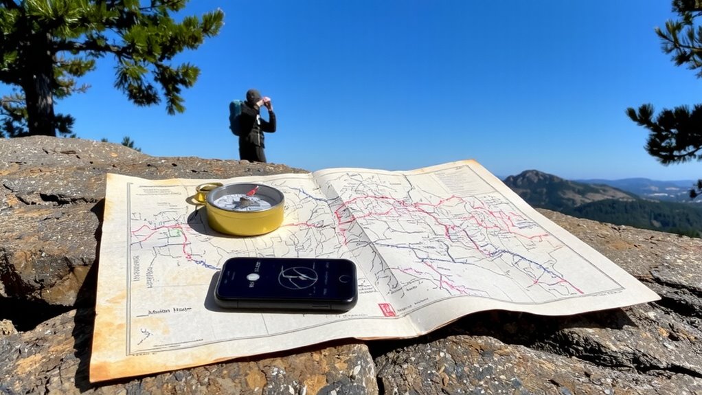
What if your map doesn’t list magnetic declination? You’ll need to estimate it using nearby topographic data or official regional charts. Start with compass calibration to guarantee accurate readings-any deviation skews your bearing. Without declination, map alignment becomes critical: orient the map using terrain features and your compass, matching visible landmarks to plotted ones. This visual check reduces reliance on magnetic bearings alone. You can assume zero declination as a baseline, but verify it over short, known distances. Errors grow with range, so recalibrate often. Adjust your compass housing if you later learn the local declination. Field-expedient navigation trades precision for practicality-accept minor inaccuracies as the cost of operating without data. Use map alignment every time you move, not just at the start. It maintains context. Relying solely on compass calibration without visual confirmation increases risk of drift. Combine both methods for better accuracy in uncertain conditions. For reliable tools, consider checking out Top Compass Picks for models proven in low-data environments.
Use GPS to Navigate Without Declination Data
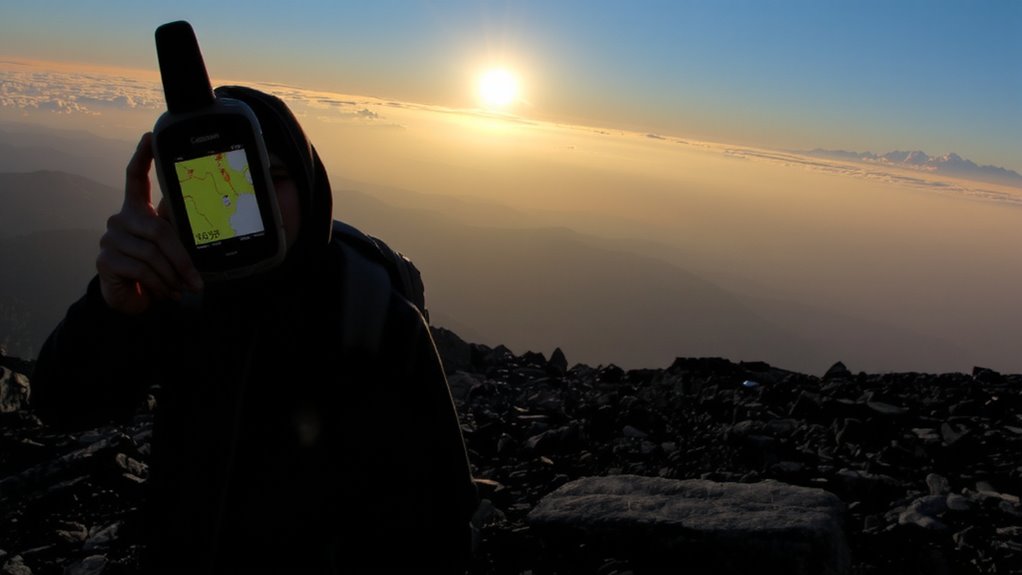
You can sidestep the uncertainty of missing magnetic declination by relying on GPS, which uses true north by default and eliminates the need to adjust for magnetic variations. Modern GPS units provide reliable position data with accuracy typically within 3–5 meters under open sky conditions, making them practical for most navigation tasks. However, GPS accuracy degrades in canyons, dense forests, or near tall terrain where satellite signals weaken. Signal interference from weather, solar activity, or electronic devices can also disrupt performance, leading to temporary dropouts. Battery life limits your runtime, so carrying spares or a solar charger is essential. GPS works well on its own but shouldn’t be your only tool. Pair it with a paper map and compass as backup. While convenient, GPS depends on technology that can fail-plan accordingly.
Find True North Using the Sun
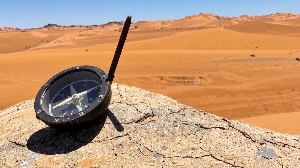
How do you find true north when your compass is useless and GPS fails? You rely on the sun position and a simple shadow stick. Place a straight stick vertically in level ground. Mark the tip of its shadow with a small stone or peg. Wait 15–30 minutes and mark the new shadow tip. Draw a line between the two points-this runs approximately east-west. The first mark is west, the second east. Stand with your left foot on west, right on east: you’re now facing true north. A reliable backup to this method is using a survival compass with accurate declination adjustment when environmental conditions allow.
| Time (min) | Shadow Movement |
|---|---|
| 0 | Mark first tip |
| 15 | Shadow shifts east |
| 30 | Mark second tip |
| After | Bisect for north |
This method works best mid-morning to mid-afternoon and gives reliable direction using only sunlight and time.
Navigate by Stars When Declination Is Unknown
When the sky clears at night and your compass offers nothing, can the stars still guide you? Yes, through celestial navigation. You can locate Polaris, the North Star, by using well-known star patterns like the Big Dipper. Polaris sits almost directly above true north, making it a reliable reference point. Find the two outer stars in the Dipper’s bowl-they point straight to Polaris. Once identified, face it to orient yourself northward. In the Southern Hemisphere, use the Southern Cross: align its long axis downward to estimate south. Celestial navigation requires clear skies and basic familiarity with key constellations. It doesn’t rely on magnetic readings, so unknown declination isn’t a problem. While less precise than GPS, it’s dependable with practice. Star patterns offer a measurable, real-world method when tools fail. Learn them, and you gain a verified backup for critical situations.
Use Terrain to Stay on Course Without Declination
A landmark won’t slip or drift like a faulty compass, and that’s what makes terrain your most dependable guide when magnetic declination is unknown. You can use ridgeline navigation to maintain direction, as ridges offer clear, linear paths that are easy to follow and rarely shift. Walking along a ridgeline reduces the chance of veering off course, especially in low visibility. Valley alignment works just as well-valleys channel movement along predictable routes, guiding you forward without requiring precise bearings. Both methods eliminate the need for declination adjustments altogether. You’re trading instrument reliance for visual confirmation, which is more reliable in unfamiliar terrain. Ridges give visibility; valleys offer water and direction. Each has trade-offs, but both keep you oriented. Stick to distinct features you can verify on your map, and move from one clear point to the next. Terrain doesn’t lie-use it to stay on track. A reliable baseplate compass can enhance this approach by providing consistent directional reference when visibility allows baseplate compass.
Get Declination Updates With These Free Apps
You’ve got terrain on your side when instruments can’t be trusted, but that doesn’t mean modern tools don’t have a place in your navigation plan. Free apps offer declination updates where data is available, but app reliability varies. Choose ones with proven accuracy and offline access to maintain function in remote areas.
| App Name | Offline Access |
|---|---|
| Gaia GPS | Yes |
| Backcountry Navigator | Yes |
| Mapy.cz | Yes |
| CalTopo Mobile | Yes |
| ViewRanger | Limited |
Only some apps deliver consistent declination data without signal. Gaia GPS and CalTopo let you download topo maps and show current declination for your location. Mapy.cz works well in Europe, while Backcountry Navigator is lightweight and reliable on older devices. ViewRanger supports offline use but may lack up-to-date magnetic models. Prioritize apps that update declination annually and allow full offline access-your safety depends on it.
On a final note
You can still navigate accurately without declination data. Use GPS for real-time positioning, but carry extra batteries or a power bank-devices fail. The sun and stars give reliable directional cues if you know the time and season. Terrain association keeps you on track when tools aren’t available. Free apps provide updated declination, but test them offline first. Relying on multiple methods reduces risk. No single tool is foolproof, so combine techniques for better accuracy and safety.