Integrating Digital Maps With Survival Food Cache Planning
You need a mapping app that works offline-Gaia GPS and Avenza deliver with reliable GPS accuracy and low battery use. Use them to mark caches on high, dry ground within 200 meters of water, avoiding wetlands and steep slopes. Layer your map by cache type and priority, keep data secure with encryption, and verify routes in person. Real-time GPS updates help track access and conditions-there’s more to optimizing your system once you see how terrain and timing interact.
Notable Insights
- Use offline-capable map apps like Gaia GPS or Avenza to ensure access without cell service.
- Prioritize high, dry terrain within 200 meters of water for cache placement using topo overlays.
- Plan multiple access routes with digital tools, verifying walkability and avoiding hazard-prone areas.
- Organize caches by priority and type using toggleable map layers for efficient retrieval.
- Share cache locations securely via encrypted messaging and password-protected offline maps.
Choose Your Survival Mapping Platform
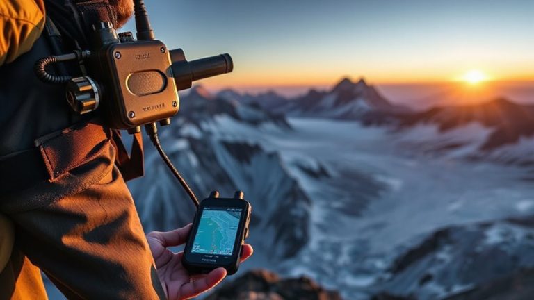
Where do you start when picking a survival mapping platform? You begin by evaluating platform reliability-can it run offline with consistent access to map data and GPS? Systems like Gaia GPS and Avenza work without cell service, storing maps locally and logging location accurately. Battery efficiency and app stability under stress matter too. Next, check user permissions. Does the platform allow precise control over who sees your saved locations or shared routes? Some apps let you restrict access down to individual caches or layers, which is essential for security. Others expose data by default. No platform is perfect, but those with strong offline functionality and granular user permissions reduce risk. Test the app in low-signal areas before relying on it. You need dependable performance when conditions are poor, not just during ideal trials. Choose accordingly.
Map Terrain to Find Ideal Cache Spots
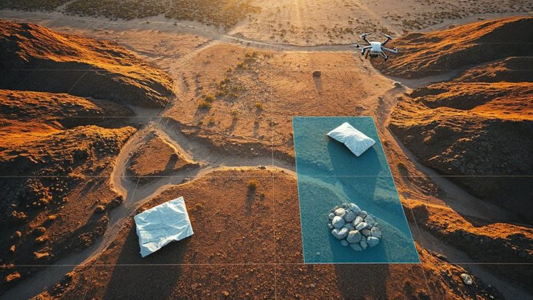
You’ve picked a reliable mapping platform that works offline and keeps your data under your control-now it’s time to put that tool to work finding actual cache locations. Use elevation analysis to identify high ground; it drains better and stays drier during heavy rain, reducing spoilage risk. Avoid low-lying areas where water pools, even if they seem convenient. Water proximity matters, but caches too close attract animals or people. Stay within 200 meters of a water source for practical access, but far enough to avoid contamination and foot traffic. Steep slopes hinder access and erode easily-flatter zones under 15% grade are more stable and easier to dig. Look for natural concealment like tree lines or rock formations. Overlay terrain and topographic layers to spot these features. Test your map’s contour accuracy in known areas first. Elevation data should resolve changes of at least 5 meters to be useful. Avoid dense wetlands, even if they’re remote.
Plan Safe Access Routes With Digital Maps
While picking a good cache spot matters, how you get there matters just as much. You need reliable access planning to guarantee you can reach your food caches when needed. Digital maps let you evaluate multiple routes, checking for obstacles like washed-out roads, private land, or dense brush. Focus on route safety by avoiding high-risk areas-steep slopes, flood zones, or places prone to traffic or looting. Overlay topo and satellite layers to confirm walkability and year-round access. Consider seasonal changes; a usable summer path might be snowed in by winter. Test routes in person when possible, noting actual travel time versus map estimates. Prioritize paths that balance speed, cover, and reliability. Good access planning doesn’t guarantee safety, but it reduces risk and improves response when every minute counts. Digital tools make this practical, repeatable, and precise.
Organize Caches by Type and Priority in Layers
Once you’ve mapped your access routes, the next step is structuring your caches for quick, efficient use under pressure. Organize each cache using food classification-group items by shelf life, nutritional density, and preparation needs. Dry goods, ready-to-eat meals, and medical supplements should exist in separate map layers for clarity. Apply priority tagging to indicate which caches contain essential, high-calorie provisions versus supplementary supplies. Priority 1 caches hold long-term staples and are positioned in accessible, secure locations. Priority 3 caches may include short-shelf-life or non-essential items. Digital map layers let you toggle visibility by type or priority, reducing clutter during emergencies. This system cuts decision time and supports rapid triage when conditions shift. You’ll know exactly where to go and what to grab, based on real needs-not guesswork. Consistent tagging guarantees anyone using the map can respond effectively, without explanation.
Share Cache Locations Securely With Your Team
If you’re relying on teammates to access your caches during an emergency, sharing location data securely matters just as much as the supplies themselves. Poor secure sharing can expose positions or lead to lost access. Use encrypted apps like Signal or dedicated offline map tools that support password-protected files to maintain control. Team coordination improves when everyone has synchronized, up-to-date data without relying on vulnerable networks.
| Method | Security Level | Best For |
|---|---|---|
| Encrypted Messaging | High | Small teams, quick updates |
| Offline Map Apps | Medium-High | Remote areas, no signal |
| Cloud Sharing | Low-Medium | Teams with stable internet |
Choose tools based on threat level and environment. Test access methods beforehand. Secure sharing isn’t just convenience-it’s operational integrity.
Update Caches Using Live GPS Data
How often are your caches actually where you left them? With real time tracking, you don’t have to guess. GPS-enabled devices let you monitor each cache’s exact location continuously, so you know immediately if it’s been moved. This matters in dynamic environments where theft, weather, or terrain shifts can displace supplies. When a cache shifts more than a set distance, automated alerts notify you within seconds via smartphone or satellite messenger. You can verify status and respond quickly, reducing risk. Not all trackers offer the same battery life or signal reliability-some last six months, others two years. Consider update frequency and power use when choosing. Real time tracking won’t prevent every loss, but it improves response time and accountability. Automated alerts add a layer of oversight that passive mapping can’t match. Use them to keep your caches where they belong-visible, secure, and ready when needed.
Switch to Digital From Paper-Based Planning
You’re already using GPS to track cache movements in real time, so it’s a small step to move your entire food planning system off paper and into a digital format. Paper limitations become clear when maps smudge, tear, or get lost in the field, risking critical data loss. Digital systems don’t fade in rain or wear from repeated use. The advantages of switching include automatic backups, searchable entries, and instant updates across devices. You can link each cache to its exact GPS coordinates, view expiration dates in real time, and share updates with team members instantly. Paper logs can’t sync or alert you when supplies run low. Digital tools take seconds to modify; paper needs rewriting. While power needs are a trade-off, modern tablets last 10+ hours and work with portable solar. Reliability improves when data isn’t trapped in one fragile form. Switching isn’t just convenient-it closes gaps paper can’t handle.
On a final note
You’ll save time and reduce errors by switching to digital maps for cache planning. GPS accuracy guarantees precise placements, while layered data helps prioritize locations by terrain and access. Secure sharing keeps teams aligned without compromising security. Real-time updates mean your caches stay relevant. Paper systems lack these advantages and increase mismanagement risks. Digital tools offer measurable improvements in reliability and coordination when it matters most.