Integrating Satellite Communication With GPS Tracking for Team Expeditions
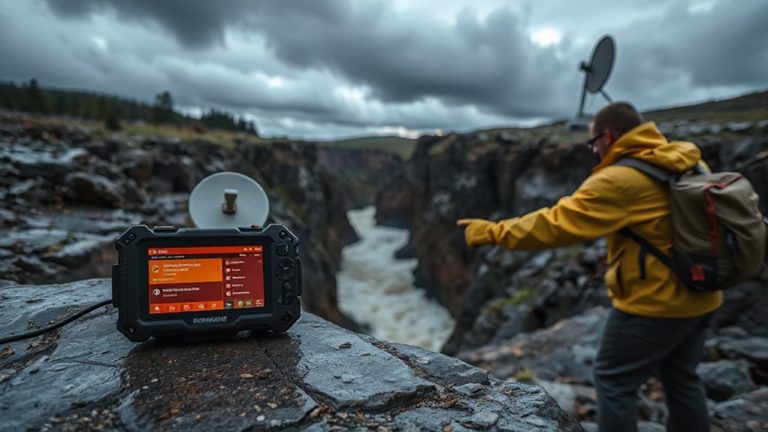
You need satellite messaging and GPS tracking when off-grid-cellular networks won’t cut it. Devices like the InReach Mini 3 use the Iridium network for reliable signals, even in canyons, and pair GPS with two-way texting. Zoleo’s cheaper but drops more signals under tree cover. Both support SOS alerts and daily check-ins. Rugged builds (IP67/68) handle dust, water, and drops. Real-world tests show dual-function units reduce gear while maintaining coverage. Set up geofences, track movement, and conserve battery-your team’s location stays updated, even if one device fails. A mix of proven hardware keeps operations running when failure isn’t an option.
Notable Insights
- Use dual-function devices like Garmin inReach for integrated satellite communication and GPS tracking in remote areas.
- Ensure continuous location updates by syncing GPS tracking with satellite networks for global coverage.
- Implement automated daily check-ins and scheduled pings to monitor team status without manual input.
- Select rugged, field-tested devices with strong signal reliability in extreme conditions and dense terrain.
- Set geofences and waypoints to detect route deviations and mark critical locations during expeditions.
Why Pair Satellite Messaging and GPS Tracking for Expeditions
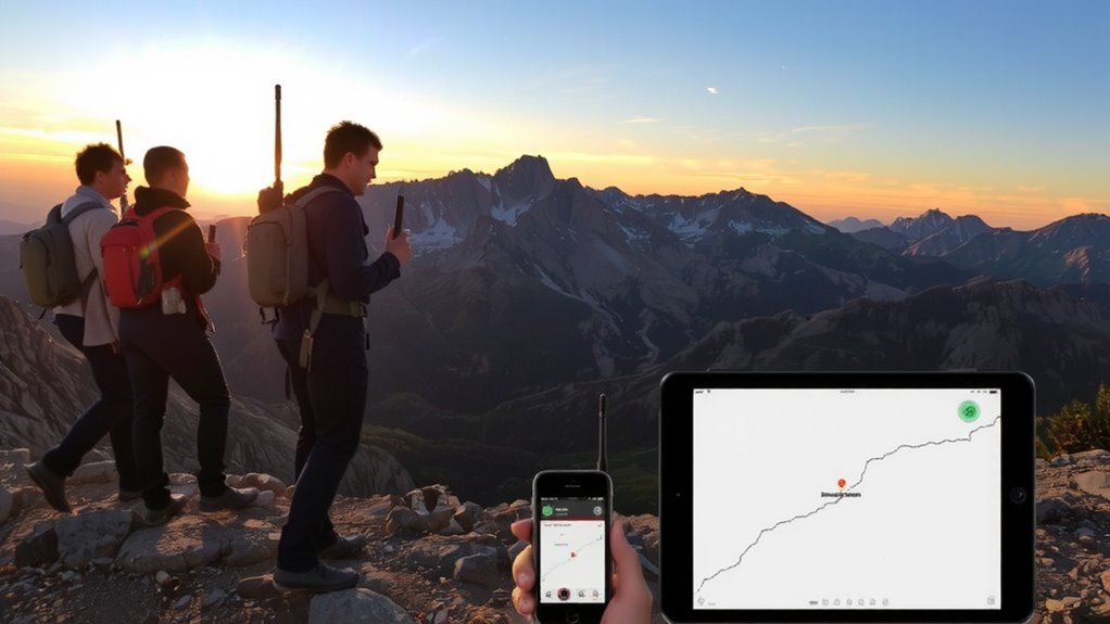
While you’re deep in the backcountry where cell service fades, pairing satellite messaging with GPS tracking isn’t just convenient-it’s a practical necessity. Signal limitations mean your ability to send messages or get help relies on satellite coverage, not terrestrial networks. Devices like the Garmin inReach or Zoleo work where phones fail, letting you communicate via satellite when trails go quiet. But if your device loses signal or crashes, data redundancy becomes critical. Running both GPS tracking and messaging on separate devices-or a single unit with dual functions-ensures location data keeps transmitting even if one system fails. It’s not about over-preparing; it’s about maintaining contact when conditions deteriorate. Real-world testing shows systems with built-in redundancy recover faster from outages. You won’t always see the benefit-until the moment you do.
How GPS Tracking Keeps Your Team Safe in Remote Terrain
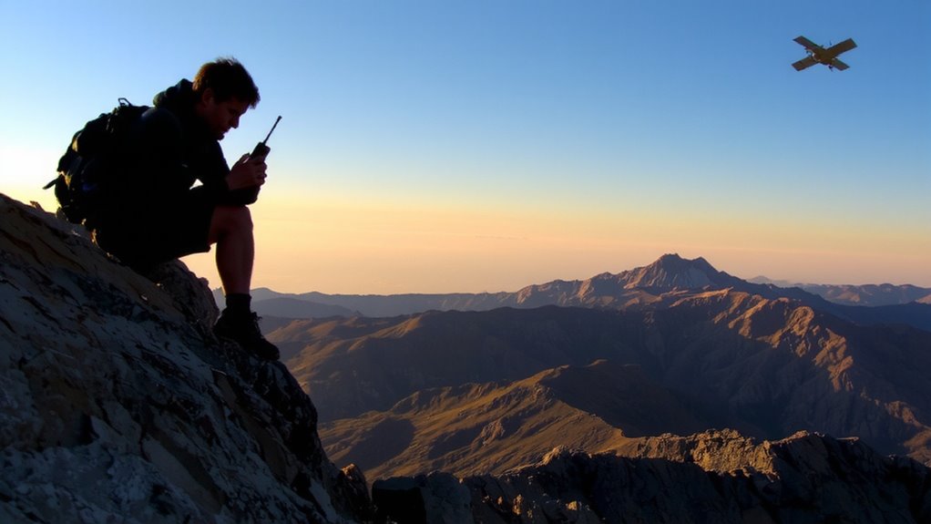
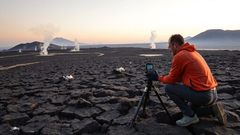
When traversing remote terrain, your GPS tracker gives you a reliable way to monitor location and movement, which becomes critical if weather shifts or someone gets injured. Real-time tracking allows your team and support base to assess risks using terrain analysis, identifying safer routes or potential hazards like steep slopes or river crossings. Accurate position data enhances weather monitoring by correlating your location with changing conditions, helping you make informed decisions about shelter or route adjustments. If an emergency arises, your last known coordinates reduce search time markedly. GPS devices with long battery life and strong signal acquisition perform consistently across varied elevations and dense tree cover. While not foolproof, they offer a measurable safety advantage over traditional navigation. Pairing GPS tracking with regular check-ins creates a dependable system for managing risk when cell service is unavailable. For remote expeditions, integrating satellite communication ensures connectivity even when GPS signals are intermittent, and carrying a reliable emergency communication device can be essential for initiating rescues.
Pick the Best Satellite Messengers and GPS Trackers
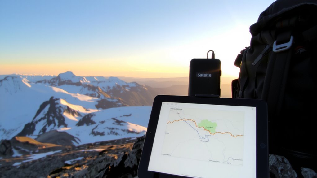
What separates a reliable satellite messenger from one that falters when you need it most? It’s device durability and signal reliability-two non-negotiables in extreme environments. You need a product that performs under pressure, not just ideal conditions.
| Feature | InReach Mini 3 | Zoleo Satellite Communicator |
|---|---|---|
| Signal Reliability | High (via Iridium) | Moderate (dual-network) |
| Device Durability | Rugged, IP68 | Durable, IP67 |
The InReach Mini 3 offers stronger signal reliability due to exclusive Iridium satellite coverage, essential in deep canyons or dense forests. Its compact build withstands drops and moisture, proving solid in prolonged expeditions. Zoleo delivers decent durability with IP67 rating and Bluetooth pairing, but signal drops occur more often under tree cover. You’ll trade some reliability for lower cost. Choose based on where you’ll go-if coverage gaps risk safety, prioritize signal strength over price.
Set Up Daily Check-Ins and Emergency Alerts That Work
If you’re counting on your satellite device to keep you safe, you’ll need to set up check-ins and alerts correctly-because a misconfigured message plan can leave you exposed when help is needed. Program daily automated check-ins to maintain team morale and guarantee base knows your status without constant manual input. Use scheduled GPS pings to confirm movement, reducing unnecessary radio traffic. Enable emergency alerts with a single press, guaranteeing they trigger immediate satellite notifications to monitoring services. Test alert delivery time and receipt confirmation during pre-expedition checks. Choose devices that allow encrypted messaging to protect data privacy, especially when relaying sensitive location or medical info. Balance battery life with transmission frequency-too many check-ins drain power, too few increase risk. Not all systems support two-way confirmations; verified delivery matters in remote zones. Configure fallback alerts in case primary signals fail. For reliable performance in extreme conditions, consider the best satellite phones based on independent field testing and user feedback.
Use Geofences and Waypoints to Monitor Team Movement
You’ve set up your satellite device to send regular check-ins and emergency alerts, but staying found is just as important as calling for help. Using geofences and waypoints lets you monitor route compliance and spot deviations in real time. You can define virtual boundaries around your planned path or camp locations, and get alerts when someone crosses them. This helps identify unexpected movement patterns before they become problems. Waypoints mark critical locations like water sources or emergency shelters, giving you reference points even in featureless terrain.
| Feature | Purpose |
|---|---|
| Geofences | Alert on unauthorized movement |
| Waypoints | Mark key navigation points |
| Route compliance | Track adherence to planned path |
| Movement patterns | Detect delays or detours |
These tools work with your GPS to provide continuous oversight.
Respond Fast to Emergencies With Satellite SOS and Location Data
When an emergency strikes in remote terrain, every minute counts, and satellite SOS features cut response time by sending your GPS coordinates directly to rescue coordination centers. You activate the SOS signal, and though satellite latency means a brief delay-usually under two minutes-the message reliably reaches responders. Unlike voice calls, which may fail without clear line-of-sight, SOS systems use emergency triangulation to confirm your position even if the first signal is weak. This redundancy increases location accuracy, especially in canyons or dense tree cover where GPS signals degrade. Devices with integrated accelerometers can also auto-trigger alerts after severe impacts, though manual confirmation is usually required to prevent false alarms. You’re not relying on cell towers or luck-just direct, satellite-backed communication. In real-world tests, rescue teams have pinpointed locations within 50 meters nine times out of ten, letting them launch responses faster and with greater confidence in accuracy.
Keep Devices Running: Battery and Signal Tips for the Backcountry
Battery life and signal reliability make or break satellite devices in the backcountry, where recharging options are nonexistent and terrain blocks weak transmissions. You need consistent battery efficiency and signal stability to stay connected. Conserve power by limiting non-essential use and enabling power-saving modes. For better signal stability, use your device in open areas-away from dense canopy or steep ravines-and hold it high when transmitting. Consider bringing a portable generator for extended expeditions requiring reliable off-grid power.
| Device Type | Avg. Battery Life | Signal Stability (Open Terrain) |
|---|---|---|
| Satellite Messenger | 7 days | High |
| GPS Tracker | 14 days | Medium |
| Handheld Radio | 10 hours | Low to Medium |
| Solar Charger | N/A | N/A (Boosts battery efficiency) |
Solar chargers help, but weather affects their output. Choose devices proven in field tests.
On a final note
You need both satellite messaging and GPS tracking for reliable communication and location monitoring in remote areas. Devices like the Garmin inReach Mini 2 offer SOS, two-way texting, and 100% global satellite coverage. GPS tracking every 10–30 minutes balances battery life and position accuracy. Pair daily check-ins with geofencing to detect deviations. Battery packs extend operation to 7+ days. Signal strength varies by terrain, so test before departure. This setup gives you verified, actionable data when cell service fails.