How to Use Satellite Imagery Apps to Scout Remote Shelter Locations Pre-Trip
Use Google Earth or Gaia GPS to scout shelter spots with high-resolution satellite views-look for moderate tree cover and flat terrain using contour lines under 5% grade. Check water layers to avoid flood zones near streams or dry gullies. Leeward slopes offer wind protection. Download offline maps for reliability in remote areas. Review historical rainfall and snowmelt patterns to assess ground stability. Apps trade resolution for coverage, so compare sources. See how terrain analysis sharpens site selection in real conditions.
Notable Insights
- Choose satellite apps with high resolution (e.g., 0.5 m/px) to spot small clearings and terrain details crucial for shelter placement.
- Use tree cover and slightly darker canopy patches in imagery to identify sheltered spots with moderate density and wind protection.
- Analyze contour lines and elevation gradients to find flat areas with less than 5% slope and avoid steep, landslide-prone terrain.
- Overlay water layers to detect streams, dry gullies, or flood-prone zones, ensuring shelters are placed at least 50 feet uphill.
- Download offline maps using apps like Gaia GPS to ensure navigation continuity in areas with no cellular or internet connectivity.
Pick the Best Satellite Map App for Shelter Spotting
Where do you start when choosing a satellite map app for finding shelter locations? You begin by checking image resolution-apps with higher resolution, like 0.5 meters per pixel, let you spot small clearings or terrain features critical for shelter. Lower resolution, say 10 meters, hides too much detail. Next, assess cloud coverage; frequent or persistent clouds in the imagery can block ground visibility, making site evaluation guesswork. Some apps update more often and minimize outdated or obscured views. Apps like Google Earth offer high resolution but may have inconsistent cloud coverage in remote areas. Others, like Sentinel Hub, prioritize up-to-date coverage, even if slightly lower in resolution. You’ll need to weigh freshness against clarity. Choose based on your location-some regions have better data than others. Test a few during planning. Real-world accuracy matters most.
Find Flat, Sheltered Spots Using Tree Cover and Topography
Terrain and tree cover work together to reveal viable shelter spots-look for areas where the ground flattens out and overhead canopy offers protection. You want moderate tree density: too sparse, and you lose cover; too thick, and you risk falling branches or poor drainage. Aim for spots where the slope eases, especially on leeward slopes that reduce wind exposure. These micro-sheltered zones often appear in satellite imagery as slightly darker patches, signaling denser canopy cover over flatter terrain. Topographic maps paired with tree cover layers help confirm flatness and windbreak potential. High tree density alone won’t help if the ground’s uneven. Likewise, flat ground in an open meadow increases wind exposure, making it less ideal. Balance matters. Use contour lines to verify flatness-ideally under 5% grade-and position your shelter just inside the tree line for natural wind buffering. It’s not about perfection-it’s about reducing risk with what the land offers.
Use Elevation and Water Layers to Avoid Dangerous Terrain
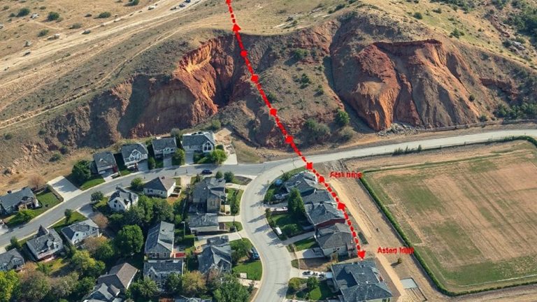
You’ve found a flat, sheltered spot with good tree cover-now make sure it’s not sitting in a flood zone. Toggle the water layer on your satellite app to identify nearby streams, rivers, or drainage channels that might swell after rain. Even dry gullies can become hazardous, so avoid depressions where water collects. Check the elevation contour lines: closely spaced lines indicate steep slopes, raising concerns about terrain stability and potential landslides. Stick to areas with gradual gradients, ideally above nearby water sources by at least 50 feet to stay clear of flood zones. Flatter ground near ridgelines often offers better drainage and more stable soil. Don’t rely on appearance alone-seasonal water flow and subtle elevation changes aren’t always obvious. Using elevation and water layers helps you assess real risks, not just convenience. This simple check improves safety without extra gear or effort.
Download Offline Maps for No-Service Navigation
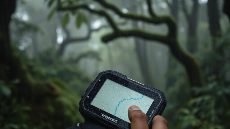
Even if your phone shows full signal now, you’re likely to lose connectivity once you’re deep in the woods or behind mountain ridges, so downloading offline maps before you go is essential for reliable navigation. Apps like Gaia GPS and Avenza support map caching, letting you store topographic, satellite, or trail maps directly on your device. This guarantees you won’t rely on data when it’s unavailable. Enable route syncing to save your planned path across devices and access it offline. Without syncing, a route created on your laptop won’t transfer to your phone. Most apps let you download maps by region, but larger areas consume more storage-balance coverage with available space. Map caching works quickly over Wi-Fi, usually under two minutes for a 10-square-mile zone. GPS still functions without service, so combined with cached maps and synced routes, you’ll maintain accurate positioning. Test the setup on a short hike first to confirm functionality.
Check Rainfall and Snow History to Confirm Site Safety
Ever wonder why some shelter sites turn into mud pits while others stay dry? It’s usually due to rainfall and snow history. Check historical weather data through satellite apps to see how much precipitation an area receives over time. Sites with heavy seasonal rain or rapid snowmelt often show signs of soil erosion and unstable ground. You can spot erosion by exposed roots or discolored runoff visible in imagery. Flood patterns repeat-look for dry riverbeds or low spots that channel water. These areas may seem safe when dry but become hazardous during storms. Apps like Google Earth or MyTopo let you overlay precipitation data and terrain layers to assess risk. Elevated, well-drained zones with dense vegetation are safer. Avoid shallow depressions and sites beneath steep slopes. Confirming past water activity helps you avoid setting up in a future flood zone.
On a final note
You’ll want a satellite app that downloads maps fast and runs without signal-Gaia GPS handles both. Flat spots under treeline show clearly in 1m resolution imagery, and elevation layers help dodge flood zones. Rain and snow history filters reduce risk, but offline access is essential-relying on coverage gets people hurt. No single app does everything perfectly, but pairing terrain analysis with real-world testing beats guesswork every time.