How to Navigate Using GPS in Zero-Visibility Cave Systems
You can’t use GPS underground-rock blocks satellite signals, cutting off location updates. Instead, rely on inertial navigation with gyroscopes and accelerometers to track movement from your entry point. Preload accurate cave maps for reference, and pair the system with sonar or Doppler Velocity Log (DVL) to cut drift to under 1 meter per hour. Calibrate sensors aboveground, mark junctions as waypoints, and expect slight error growth over distance-knowing how these systems offset each other gives you reliable navigation in total darkness.
Notable Insights
- GPS signals fail underground, making traditional navigation impossible in cave systems.
- Inertial Navigation Systems track movement from the entrance using accelerometers and gyroscopes.
- Preloaded, accurate cave maps from trusted sources enable navigation when GPS is unavailable.
- Sonar and Doppler Velocity Log (DVL) correct positional drift with high accuracy in tight spaces.
- Frequent calibration and waypoint marking reduce errors and maintain reliable underground tracking.
Why GPS Fails Underground
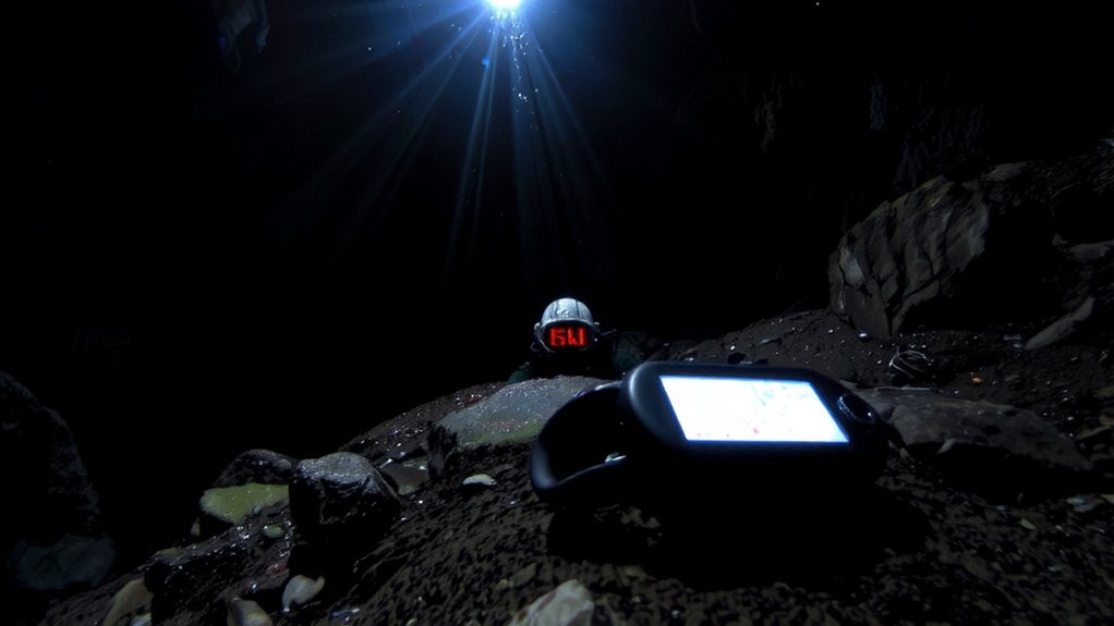
Even though GPS works fine above ground, it won’t do you any good once you’re underground because the signals can’t penetrate rock or earth. You lose reception quickly past the cave entrance due to signal attenuation-the weakening of GPS signals as they encounter dense materials like soil and stone. By just a few meters in, the signal drops below usable levels. Satellite occlusion occurs when overhead obstructions block line-of-sight to orbiting satellites, which GPS relies on for positioning. Underground, the cave structure completely cuts off that visibility. No signal means no fix, no location updates, and no tracking. You can’t depend on GPS once you’re in deeper passages, even with high-sensitivity receivers. Testing shows most units lose lock within seconds inside tunnels. This isn’t a flaw-it’s physics. If you’re traversing below the surface, assume GPS will fail. Relying on it without backups risks disorientation.
How Inertial Navigation Replaces GPS Underground
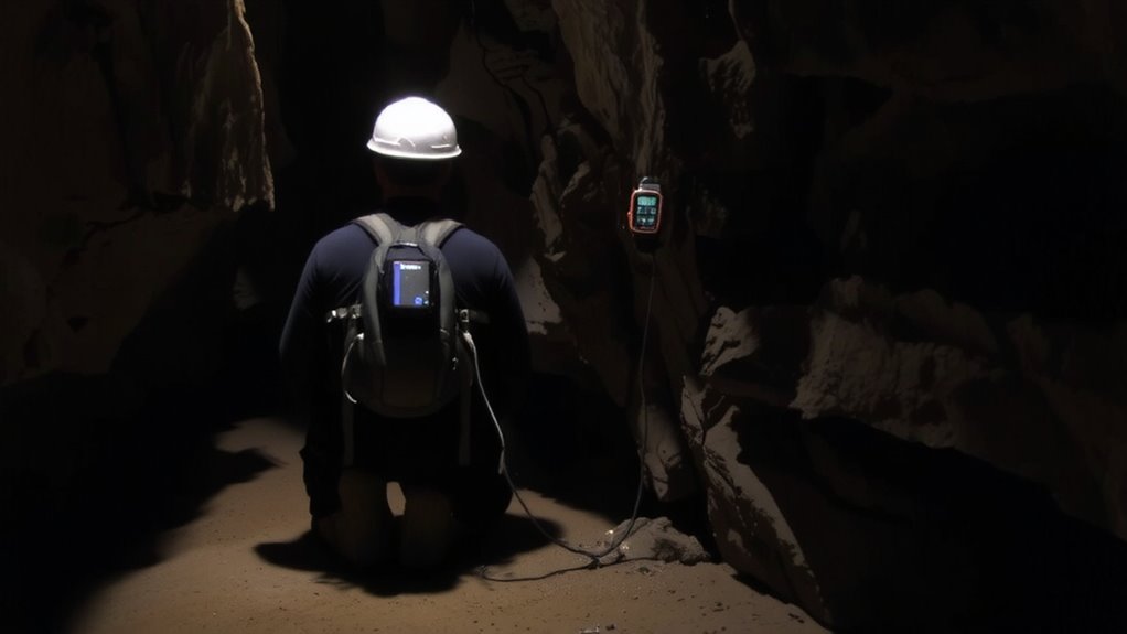
Since GPS won’t work once you’re underground, inertial navigation systems (INS) are what keep you on track in cave systems. You rely on motion integration to calculate your position by measuring acceleration and rotation from the moment you enter. These systems use gyroscopes and accelerometers to track every turn and step, building a continuous path. But over time, small sensor errors add up, causing drift. That’s where drift correction comes in-some INS units use periodic waypoints or known landmarks to realign the estimated position. Without it, errors can grow by meters per minute. Units with tight sensor tolerances and frequent correction reduce drift to under 2% of distance traveled. They’re heavier and need power, but in zero visibility, they’re dependable. You won’t get satellite updates, but with solid motion integration and active drift correction, INS gives you usable situational awareness when GPS drops out.
Using Preloaded Cave Maps on GPS Devices
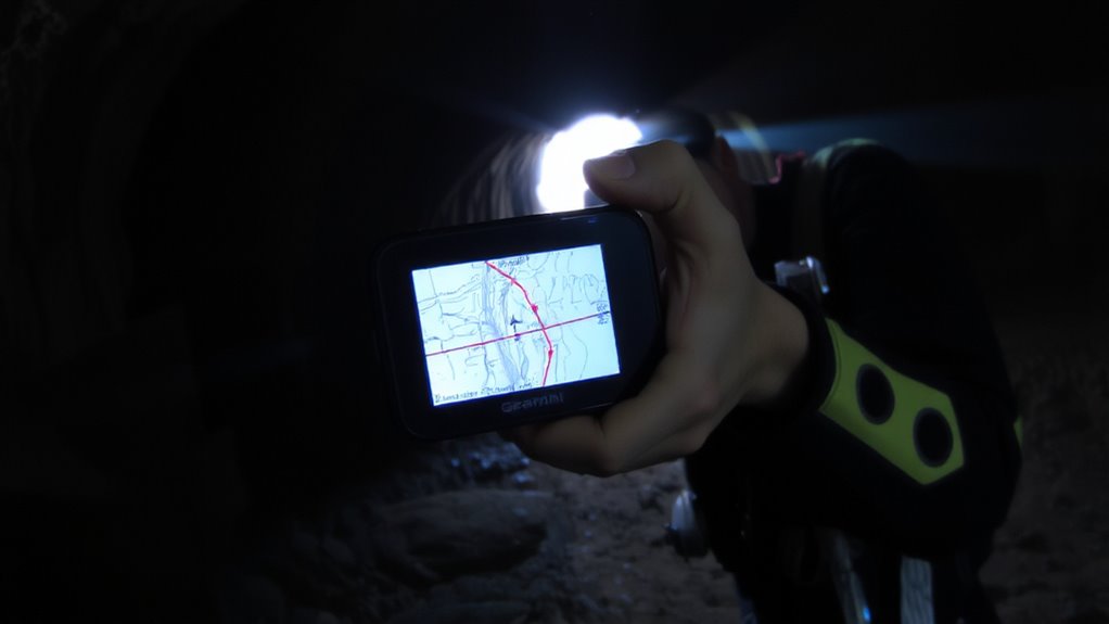
You can’t depend on live GPS signals underground, but that doesn’t mean your GPS unit becomes useless-preloaded cave maps keep you oriented when satellite signals cut out. Preloaded maps provide reliable reference points so long as map accuracy is confirmed before descent. Topographic detail, passage width, and elevation changes must match surveyed data to prevent misrouting. Use maps from trusted geological surveys or caving teams with proven field verification-consumer-grade downloads often lack precision. Data redundancy is critical: store multiple map formats across devices or media in case one fails. A corrupted SD card shouldn’t leave you blind. GPS units with dual-slot memory let you maintain backups onsite. While inertial tracking updates your position, the preloaded map is your fixed reference. Mismatched scales or outdated layouts increase navigation errors. Test map visibility under low-light conditions and verify labeling clarity at glance. These factors directly affect response time in tight sections.
Updating GPS Position With Sonar and DVL
How do you keep your GPS position accurate when there’s no satellite signal? You rely on sonar integration and DVL synchronization to maintain positioning underground. Sonar integration maps surroundings by pinging sound waves, giving you real-time feedback on nearby walls and passages. It works best within 30 meters and corrects drift in tight spaces. A Doppler Velocity Log (DVL) tracks your movement relative to the seafloor or cave bed, measuring speed and direction with 98% accuracy in stable conditions. When you sync the DVL with your GPS via dvl synchronization, position updates stay consistent even in zero visibility. Together, they reduce location drift to under 1 meter per hour. The setup requires calibration before dives and performs poorly in silty water or turbulent flow. Power draw is moderate-expect 8 hours from a standard battery. Use both systems together, and you’ll maintain reliable position tracking where GPS alone fails.
How to Track and Follow Your Route Safely
What’s the best way to stay on course in a cave when you can’t see the entrance? You rely on precise route planning and consistent GPS tracking. Mark waypoints at every major turn and junction so you can follow a digital breadcrumb trail back. Your GPS should update position every 10–15 seconds to maintain accuracy without draining battery. Always cross-reference with depth and distance logs to confirm progress. Strict adherence to safety protocols like buddy checks and time-based turnarounds prevents overextension. Never assume GPS alone is enough-pair it with physical line markers for redundancy. If signal drops, your preloaded route plan becomes critical. Practice following digital paths in low visibility before relying on them underground. This method balances technology and proven techniques, keeping navigation reliable when visibility drops to zero.
Calibrating Your GPS Before Descent
Proper GPS function underground starts well before entering the cave. You can’t rely on GPS once you’re deep inside, but calibrating it above ground improves initial positioning accuracy. Turn your device on at the surface for at least 10 minutes to establish a strong satellite lock. This reduces errors caused by signal interference later on. Rotate the unit slowly in all three axes-this helps the internal sensors adjust to local magnetic anomalies. Avoid metal objects, power lines, or large rock formations during setup, as they distort readings. Models with built-in magnetometers and barometric altimeters benefit most from this step. Even so, expect GPS to fail once you descend; its map alignment and waypoint accuracy depend on this calibration. You’ll carry dead reckoning and inertial data deeper in. Calibrating doesn’t fix the lack of satellite signals, but it gives you the best reference point before you lose contact.
On a final note
You won’t get GPS signals underground, so don’t rely on them. Inertial navigation helps track your movement but drifts over time. Preloaded maps on rugged GPS units give reference points, but only if accurately synced. Sonar and Doppler Velocity Log (DVL) improve accuracy by measuring surroundings and speed. Calibrate all systems before descent to reduce error. Always cross-check position with physical landmarks and depth cues. Survival depends on redundancy-no single system is reliable alone.