How to Use Digital Mapping to Find Abandoned Mines for Shelter
Start by checking historical mining records to pinpoint verified locations and ownership. Use Google Earth to spot entrances along ridgelines, looking for dark pixels and unnatural shadows at 50–200 meters altitude. Identify potential collapses via circular depressions or linear sinkholes, then verify findings with USGS mine maps for accuracy. Assess surface stability and legal access to avoid hazards and trespassing. There’s more to take into account before making your move.
Notable Insights
- Start by reviewing historical mining records and geological surveys to identify verified abandoned mine locations and subsurface features.
- Use Google Earth to spot mine entrances along ridgelines, analyzing shadows and dark pixel patterns at 50–200 meters altitude.
- Look for circular depressions or linear sinkholes indicating collapsed shafts, and compare old and new satellite images to detect recent subsidence.
- Cross-reference suspected sites with USGS mine maps to confirm shaft positions, tunnel layouts, depths, and mine types.
- Check land ownership and structural stability using GIS tools and visual cues to avoid unsafe or legally restricted mine entries.
Start With Historical Mining Data
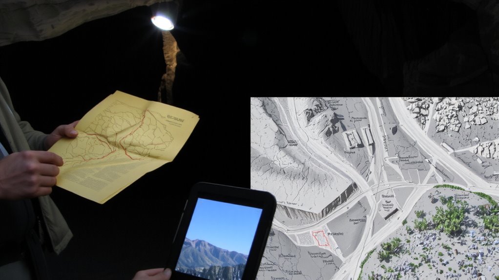
Since you’re looking for abandoned mines as potential shelters, your first move should be gathering historical mining data-this is where you’ll find the most reliable starting points. You’ll want to access old mining records from state or federal databases, as these list known operations, ownership, and extraction methods. Many records include maps or coordinates that pinpoint exact locations. Pair this info with geological surveys, which show rock types, mineral concentrations, and subsurface features tied to mining activity. These surveys are publicly available and often more accurate than anecdotal accounts. Together, mining records and geological surveys reduce guesswork, helping you narrow search areas efficiently. While records may be outdated, they’re still your best baseline. They don’t guarantee safe or accessible shelters, but they do provide verified starting points. Skip this step, and you’re relying on luck.
Use Google Earth to Identify Mine Entrances
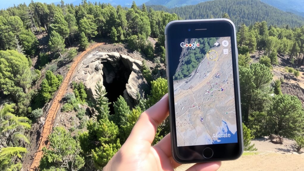
Start by opening Google Earth and moving through areas flagged in your historical mining data. Focus on ridgelines and valley edges where mine entrance detection is most reliable. Use terrain shadow analysis to spot subtle changes in light and elevation-these often reveal hidden openings. Tilt the view to 45 degrees and scan at midday lighting for clearest contrast.
| Feature | What to Look For | Why It Matters |
|---|---|---|
| Dark pixels | Consistent linear shapes | Potential tunnel openings |
| Asymmetrical shadows | Sharp, unnatural edges | Indicate excavated zones |
| Vegetation gaps | Sparse growth in rocky areas | Human disturbance clues |
| Terrain breaks | Sudden slope shifts | Linked to underground works |
Zoom between 50–200 meters altitude. False positives are common, so cross-reference with topo maps. This method won’t confirm access but narrows search areas efficiently.
Spot Collapsed Shafts and Subsidence in Terrain
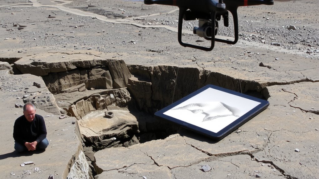
While scanning terrain in Google Earth, keep an eye out for circular or oval depressions that weren’t formed by natural erosion, as these often mark collapsed shafts or subsidence zones from old mine workings. These features differ from typical erosion patterns and suggest underground voids failing under surface weight. You’ll often see sinkholes aligned in straight lines or geometric clusters, indicating man-made tunnel networks beneath. Fresh-looking depressions without vegetation may point to recent collapses, increasing danger-and potential shelter space. Compare recent satellite images with older ones to detect changes over time. Shadows and sun angles can exaggerate depth, so adjust the view to confirm shape and scale. Don’t confuse natural sinkholes with mine-related subsidence; context matters. Areas near old mining infrastructure with unnatural ground settling are your best indicators. You’re not just spotting holes-you’re reading terrain for signs of hidden, usable space below.
Verify Sites Using USGS Mine Maps
You’ve spotted suspicious depressions and aligned sinkholes in the terrain-now it’s time to confirm whether they’re tied to actual mine workings. Turn to USGS mine maps for verification; they’re sourced from reliable geological surveys and often include historical mining data, shaft locations, and tunnel extents. Access them through the USGS National Map or state geological survey portals-most are free and layered with topographic basemaps. Cross-reference your GPS coordinates with these maps to see if recorded mines match your findings. This step improves hazard assessment by revealing the mine’s documented depth, extent, and type. While not always 100% complete, USGS records reduce guesswork and increase accuracy. You’ll avoid chasing false leads and prioritize sites with stronger evidence of subsurface structures. Use this info alongside terrain analysis to make informed decisions-don’t rely on visuals alone. Verification here saves time and increases safety down the line.
Avoid Dangerous Ruins: Check Stability and Legal Risks
If the mine structure looks intact from the outside, don’t assume it’s safe to enter-surface conditions often hide unstable roofs, rotten timbers, or compromised walls. You need to assess structural integrity before stepping inside. Look for cracks, sagging support beams, or debris piles, all signs of potential collapse. Even if the entrance seems solid, internal decay might make the space dangerous. Many abandoned mines are on private land or protected areas, so entering means risking trespassing consequences, including fines or legal action. Check land ownership through public records or GIS tools before approaching. Some states mark hazardous sites clearly; ignore those warnings at your peril. Your survival plan shouldn’t include emergency rescue or court dates. Balancing shelter potential with safety and legality reduces risk. Stability and permission matter more than convenience.
On a final note
You can find abandoned mines using digital tools, but they won’t keep you safe. Google Earth and USGS maps help locate entrances and subsidence, yet stability is never guaranteed. Many shafts are hidden or unstable, and trespassing risks legal trouble. A mine might offer shelter in theory, but collapse, poor air, or legal consequences make it a high-risk option. Safer, legal alternatives exist. Always prioritize verified safety over convenience.