How to Use GPS to Maintain Bearing in Open Water Survival
Use a GPS rated IPX7 or higher with quad-band GNSS to lock your position fast and stay accurate in rough water. Mark your location the moment trouble hits-this gives rescuers exact coordinates. Set a bearing to shore, align it with visible landmarks, and check your position every 15 minutes to correct drift. A floating, rugged model lasts longer and survives drops. You’ll stay on course even when currents shift-there’s more to get right when survival’s on the line.
Notable Insights
- Activate and mark your position immediately using an IPX7-rated GPS to establish accurate starting coordinates.
- Set a navigation bearing by inputting your destination to obtain and lock onto the correct compass heading.
- Align your course with visible landmarks when possible to maintain heading accuracy within 5 degrees.
- Check GPS position every 15–20 minutes to monitor drift and make early course corrections.
- Use floating, ruggedized GPS units with quad-band GNSS for reliable signal reception and easier retrieval if dropped.
Choose a Waterproof GPS for Open Water
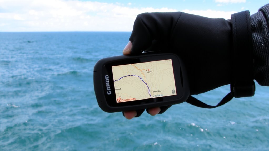
A waterproof GPS is essential if you’re relying on navigation during open water survival, and not all models handle immersion the same. You need one rated IPX7 or higher to withstand prolonged submersion without failure. Signal strength varies between units-some maintain lock in rough seas, while others drop connection with minor wave interference. Look for models with quad-band GNSS support; they improve accuracy and reliability. Device durability isn’t just about water resistance-it includes shock tolerance and UV stability. Plastic housings may crack under constant sun exposure, compromising seals. Ruggedized models with reinforced casings perform better over time. Battery life matters, too: at least 15 hours guarantees coverage during extended drifts. Some units float, which helps retrieval if dropped. Avoid smartphones in unsealed cases-they lack consistent signal strength and device durability. Test your GPS before departure; real-world performance trumps specs.
Mark Your Position Immediately
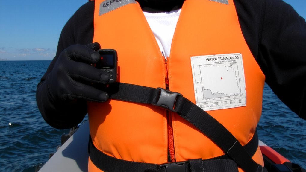
You’ve got your waterproof GPS in hand, one that meets IPX7 standards and can handle the shock and UV exposure of open water-but it won’t help if you don’t act the moment something goes wrong. Mark your position immediately when you realize you’re in distress. That single action gives rescuers a precise starting point, cutting search time and boosting your odds. Activate emergency signaling as soon as the waypoint is saved; many GPS units integrate with PLBs or AIS for faster response. Delays cost energy and reduce accuracy, especially if currents drift you off location. This step also supports mental resilience-knowing you’ve taken concrete action reduces panic. Even if you’re treading water, staying calm and methodical improves decision-making. Don’t wait for visibility to drop or battery to wane. A marked position is critical for coordination with rescue teams and increases survival chances markedly.
Set a Bearing to Safety
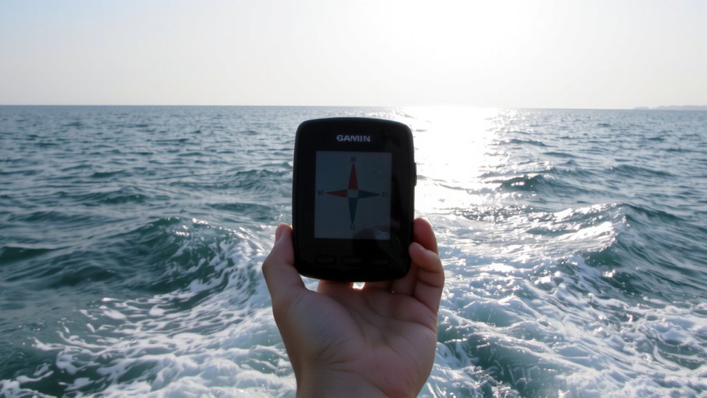
How far is safety, really? Your GPS gives you the distance, but you need a clear bearing to close it. Input your destination into the device and lock in the current direction you must follow. The GPS will show this bearing as a compass heading-stick to it. If visual landmarks are visible-like a distant shore, platform, or island-align them with your GPS course to confirm alignment. Landmarks help maintain consistency when signals drop. Keep your heading steady, even if drift occurs; that adjustment comes later. The compass function on most survival-grade GPS units is accurate to within 5 degrees, sufficient for open water navigation when used correctly. Relying on both electronic bearing and visual references improves confidence. Don’t wait-set the route now. Every minute on course counts more than perfect gear.
Monitor Drift and Adjust Course
Even with a solid bearing locked in, currents and wind can push you off course without notice, so check your GPS position every 15 to 20 minutes to catch drift early. Current detection helps identify subtle shifts in your path, while wind estimation lets you anticipate lateral movement. Adjust your heading promptly to compensate-small corrections now prevent large detours later. Stay aware: GPS models with track plot features make drift easier to spot.
| Factor | Check Interval | Purpose |
|---|---|---|
| GPS position | Every 15–20 min | Detect course deviation |
| Water movement | Ongoing | Aid current detection |
| Wind direction/speed | Every 20 min | Support wind estimation |
Use real-time data, not guesses. Relying on observed position changes beats assumptions. Consistent monitoring keeps you on track with minimal effort.
Use GPS Waypoints to Reach Shore
Once you’ve accounted for drift and kept your course steady, you can focus on your final approach to land. Set a GPS waypoint on the nearest safe shore point, adjusting for current tides that may push you off track. Most modern handheld GPS units allow tide offset entries, improving accuracy by up to 15% in strong tidal zones. Use marine signals from coastal beacons or buoys to confirm your GPS reading-these real-world markers act as checkpoints. If your GPS shows 0.3 nautical miles to shore but a red nun buoy appears off your starboard, you’re on track. Don’t rely solely on default shoreline data; some models use outdated charts that misplace coastlines by up to 40 meters. Update firmware and cross-check with physical cues. Waypoints work best when combined with environmental awareness-tides shift, but a well-placed mark keeps your goal fixed.
Conserve Battery and Maintain Signal
If your GPS is your only link to shore, keeping it powered and locked on signal can mean the difference between rescue and drift. Turn off unnecessary features like Bluetooth and backlight to extend battery life-battery optimization starts with minimizing drain. Use power-saving modes if available; some models last 25% longer on low-power tracking. Check the signal strength indicator frequently-weak signals force the unit to work harder, burning more power. For signal conservation, keep the device upright and unobstructed; saltwater spray or your body can block reception. Metal objects and containers nearby can interfere, too. If you have a backup battery or solar charger, use it early, not when the GPS dies. Prioritize position checks every 30 minutes instead of continuous tracking-this balances accuracy and runtime. Real-world tests show this approach preserves up to 60% more charge over 12 hours. Every milliamp matters when help is offshore. Consider packing a portable solar panel to maintain power during extended emergencies.
On a final note
You’ll rely on your GPS to hold a steady bearing when currents shift, so pick one that’s waterproof and has proven battery life. Marking your start point helps rescuers find you. Use waypoints to break the journey into manageable legs, but check your position often-waves drift you off course. Conserve power by skipping unnecessary screens. A GPS won’t replace skill, but with a solid signal and clear plan, it keeps you moving the right way.