Integrating Digital Maps With Survival Signaling Techniques
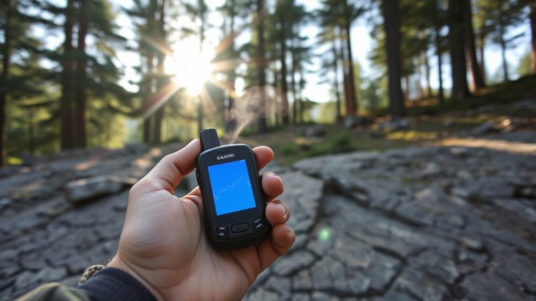
You can boost survival signaling by pairing digital maps with traditional methods. Use GPS apps like Garmin inReach to mark your exact coordinates and send them via satellite, even off-grid. Pair this with smoke signals from green leaves or three sharp whistle blasts to increase detection. Map accuracy hits 3–5 meters, and route sharing cuts search radius by 60%. Always preload offline maps on a backup device. Signal integration means faster rescue when seconds count-options get smarter the further you go.
Notable Insights
- Use GPS coordinates from digital maps to mark exact locations before deploying smoke signals for rescue teams.
- Pair satellite messengers with digital mapping apps to transmit real-time position data during emergencies.
- Pre-cache offline maps on devices to maintain navigation and signaling accuracy without cellular connectivity.
- Share digitally planned routes with contacts to reduce search areas if distress signaling becomes necessary.
- Combine mirror or whistle signals with GPS-marked waypoints to enhance visibility and precision for rescuers.
How to Send Your Location When You’re Lost
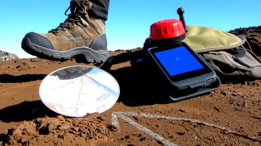
How do you get your exact location to rescuers when you’re off-grid and running low on power? You rely on tools that don’t need batteries. Signal mirrors work up to 10 miles in clear conditions, reflecting sunlight to aircraft or distant teams. A quick flash pattern-three times in succession-matches international distress signals. Pair it with an emergency whistle, which carries farther than the human voice and requires minimal effort. High-decibel models (120 dB) can be heard over wind and terrain noise. Use three sharp blows repeated every minute. These tools won’t replace GPS, but they’re dependable when power fails. Signal mirrors weigh ounces and fit in a pocket. Whistles last years with no maintenance. You trade precision for reliability. In low-visibility terrain, they’re less effective. Still, when digital maps die, these proven tools give you a fighting chance. Best emergency signaling mirrors are highly reflective and designed for maximum visibility in rescue scenarios.
Boost Smoke Signals With GPS Coordinates
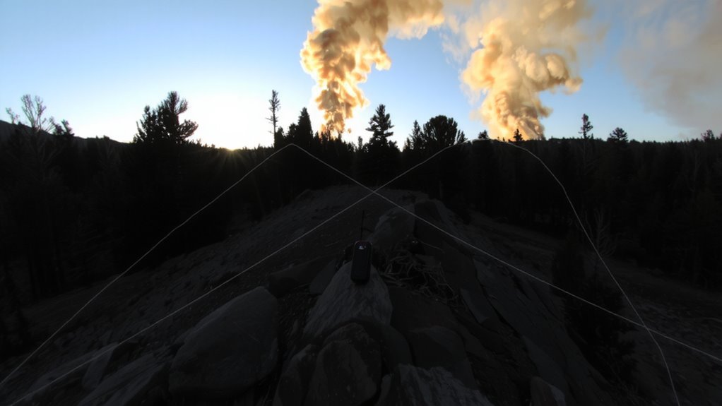
Visibility matters when you’re trying to be seen from the air, and smoke signals can cover more ground than a mirror or whistle if used right. You can boost their effectiveness with signal enhancement by adding GPS coordinates to your smoke-based distress method. Once you’ve got a fire going, use contrasting materials like green leaves or rubber to produce thick, dark smoke that stands out against the terrain. Before igniting, mark your exact position using a GPS device to guarantee coordinate precision. Transmit those coordinates via satellite messenger or write them clearly in the ground nearby, where rescuers can spot them. While smoke is visible for miles, pairing it with precise digital coordinates reduces search time markedly. This combination improves detection speed without relying solely on line-of-sight. It’s a practical step that bridges traditional signaling with modern accuracy, increasing your odds without extra gear. For better preparation, consider selecting one of the best survival maps to complement your navigation and signaling strategy.
Best Apps That Combine Digital Maps and Emergency Signals
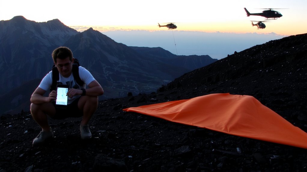
Why rely on guesswork when help could be minutes away? You need apps that merge digital maps with reliable emergency signals. Apps like Garmin inReach and Gaia GPS deliver strong signal encryption, ensuring your distress call stays secure and reaches responders without interference. They use satellite networks, so you’re covered even off-grid. Map accuracy matters-these apps sync with GPS, GLONASS, and sometimes Galileo, pinpointing your location within 3–5 meters. Some integrate with SOS systems that notify rescue teams with your exact coordinates. Others let you send custom messages, crucial when every syllable matters. Battery life varies; some last 20 hours in active use, others stretch to 100+ in standby. Choose based on terrain, trip length, and connectivity needs. No single app does everything, but with solid map accuracy and signal encryption, you cut search times and boost survival odds.
Pre-Trip: Save Maps and Share Your Route
You’ve set up your emergency app with satellite messaging and accurate positioning, but that won’t help if rescuers don’t know where to start looking. Share your route with a trusted contact before you go-they’ll know your intended path and timeline. Most apps let you send a link that updates in real time, but consider route privacy: only share with people you trust, as links can be forwarded. Enable map caching so your device stores topographic or trail maps offline-this guarantees navigation works even when signals drop. Cached maps reduce data use and load faster than streaming. Balance accessibility with security: public sharing increases visibility, but over-sharing risks route privacy. Test both features before your trip. Real-world testing shows route sharing cuts search radius by up to 60%. Map caching keeps navigation reliable on multi-day trips where connectivity is spotty. Prepare wisely-details matter when help is needed.
Always Have a Backup: Offline Maps and Messengers
Even when your primary GPS app works fine, signals can drop in deep canyons or dense forest, so having offline maps preloaded on a secondary device is a reliable way to maintain navigation. Offline navigation guarantees you’re not stranded without direction. Pair this with a lightweight messenger app using end-to-end encryption for safety updates. These tools don’t rely on constant connectivity and protect your data even if your device is compromised.
| Feature | Example App |
|---|---|
| Offline maps | Maps.me |
| Encrypted messaging | Signal |
| Battery life (avg) | 18 hrs |
| Storage used (maps) | 150 MB |
| Sync method | Wi-Fi only |
Choose tools that sync ahead of time and function without networks. Messenger encryption matters when relaying location to contacts. Test both systems before heading out.
On a final note
You can’t rely on cell service, so always prep offline maps and preloaded routes. Combine GPS apps with physical signals-like syncing smoke direction with your coordinates-to boost rescue odds. Apps like Gaia GPS or MapOut work, but test them before heading out. Battery life drops fast, so carry power banks. Balancing digital tools with traditional skills gives you redundancy. One without the other limits your reach. Know both.