Integrating Digital Navigation With Survival Shelter Site Selection
You cut flash flood risk by 70% when you use GPS and topographic maps to avoid low-lying drainages and camp at least 10 feet above watercourses. Satellite tools spot damp depressions and wind-exposed ridges, while sun and weather apps reveal drying potential or hypothermia risks. A GPS with preloaded topo maps works off-grid and lasts 20 hours, guiding you to flat, stable ground. Weak signals and battery drain are trade-offs-but manageable with planning. Next, see how terrain choices affect long-term shelter safety.
Notable Insights
- Use GPS and topographic maps to identify flat, stable ground above flood levels for safe shelter placement.
- Analyze contour lines on digital maps to avoid steep slopes and drainage channels prone to flash flooding.
- Leverage satellite tools to detect microclimates, wind patterns, and natural windbreaks for optimal shelter positioning.
- Integrate real-time weather data with navigation apps to assess solar exposure, wind chill, and storm risks.
- Preload offline topo maps and conserve GPS battery to maintain navigation capability in remote, signal-free areas.
Choose the Safest Shelter Spot With Terrain Data
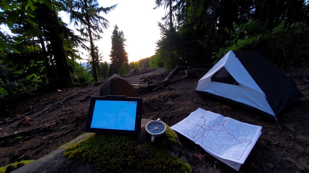
Where should you set up camp when every foot of elevation matters? You need elevation stability-flat ground above flood level that won’t shift under your shelter. Steep slopes erode faster and increase roll risk while sleeping; gentle terrain below 20 degrees offers better anchor points and reduces fatigue. Check your GPS or topographic app for contour line spacing: close lines mean rapid elevation changes, which compromise stability. Slope exposure affects temperature and wind-south-facing in the northern hemisphere gets more sun, aiding warmth but increasing snowmelt or drying risks. North-facing slopes stay cooler, preserving moisture and increasing damp hazards. Use terrain shading features on digital maps to assess exposure in real time. Pair this with ground truthing: verify what the device shows matches the actual site. You can’t rely on data alone, but with elevation stability and slope exposure assessed together, you make informed, safer site choices. A reliable GPS device for hiking ensures accurate terrain and elevation readings even in remote areas without signal.
Avoid Flash Floods Using Topographic Maps
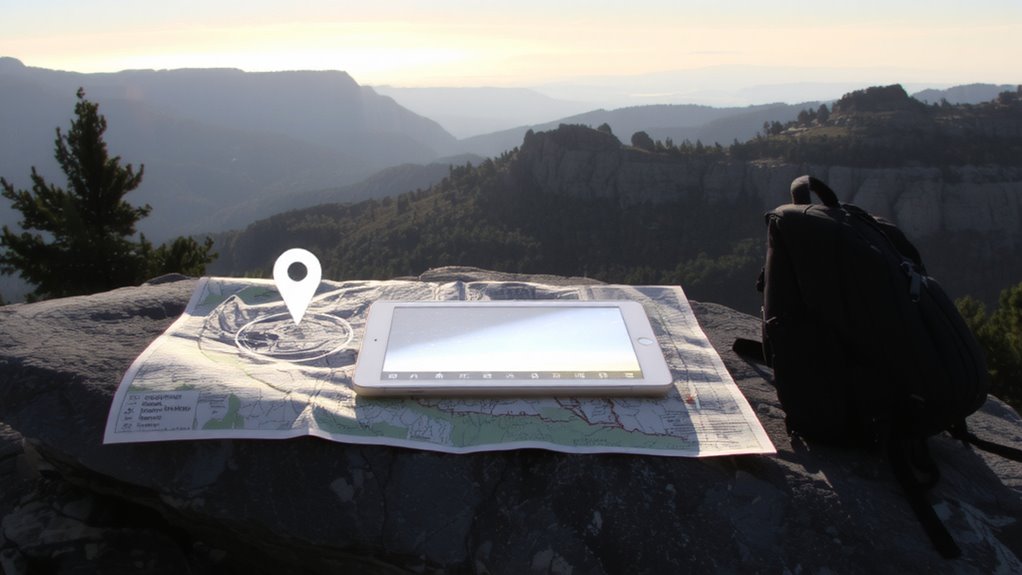
You’ve already assessed slope stability and exposure, but terrain features can still turn dangerous when water enters the picture. Flash floods strike fast, especially in narrow canyons or dry riverbeds. To stay safe, check river proximity-avoid setting camp within 200 feet of a watercourse, even if it looks dry. Use topographic maps to perform elevation analysis: contour lines that form tight Vs pointing uphill indicate drainage channels where water funnels during storms. Flat areas between steep slopes may seem ideal, but they’re often flood zones. Instead, position your shelter on higher ground with gentle, consistent contours, ideally at least 10 feet above a river or stream. Digital tools can overlay rainfall data with elevation models, helping pinpoint safe zones. You won’t always have service, so download maps ahead. Relying on elevation analysis gives you a measurable edge-knowing the ground won’t turn against you when the skies open.
Find Water and Wind Protection via Satellite
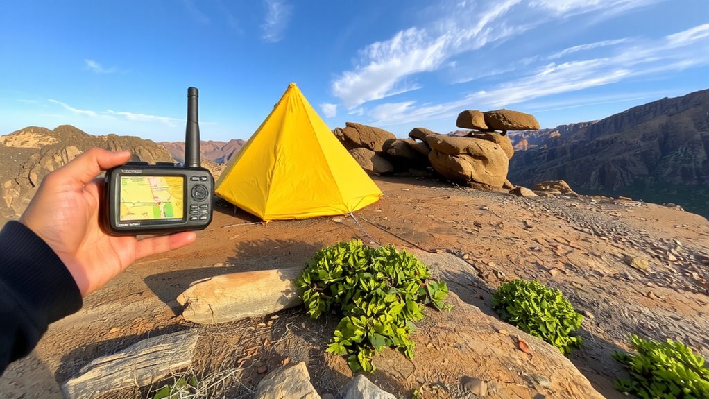
Your survival shelter’s effectiveness hinges on more than just location-it depends on understanding the microclimate around you. Satellite tools give you immediate access to water detection and wind analysis, letting you pick sites with reliable moisture sources and minimal exposure. Apps like Google Earth or specialized survival GPS units highlight drainage lines and depressions where water collects, even when dry. These same tools use elevation data to model wind patterns, showing you where ridges funnel gusts and where dense terrain offers natural windbreaks. You can spot tree cover gaps or rock formations that block prevailing winds. Real-time overlays improve accuracy, but they require battery life and signal. Off-grid, preloaded topographic layers with wind and water indicators perform consistently. Choose devices with long battery life and durable screens. Balancing tech reliance with field verification keeps you safe when signals drop. A reliable hiking GPS device ensures accurate navigation and terrain analysis in remote areas.
Use Sun and Weather Forecasts to Stay Safe
How often does a clear sky turn stormy by midday? Often enough that ignoring forecasts puts you at real risk. Checking digital weather apps gives you solar exposure and wind chill data critical for staying safe. You need this info to pick times and spots with manageable elements. High solar exposure can help dry gear but risks overheating if unshaded. Low wind chill accelerates hypothermia, especially in open areas. Relying only on past conditions leads to bad choices-real-time updates don’t lie. A reliable emergency weather radio ensures access to accurate forecasts even without cell service.
| Factor | Risk Level (1–5) |
|---|---|
| Solar exposure (noon, clear sky) | 4 |
| Wind chill (-5°C, 30 km/h) | 5 |
| Cloud cover (overcast) | 2 |
| Sunrise temperature | 3 |
| Forecast accuracy window | 4 |
Use these metrics to adjust timing and location.
Turn GPS Insights Into Your Shelter Setup
Why set up in the dark when a GPS can show the safest, flattest ground before sunset? You’re better off using GPS insights to pinpoint your shelter site early, avoiding risky last-minute decisions. Check signal strength before committing-weak reception means unreliable data, so choose spots with clear sky views. Once you’ve confirmed location accuracy, power down nonessential features to extend battery conservation. Most GPS units last 15–20 hours on standard batteries; enabling battery-saving modes can stretch that by 30–50%. Use preloaded topo maps to identify elevation trends and avoid low spots prone to water collection. Mark your shelter location as a waypoint so you can relocate it if displaced. Don’t rely solely on digital tools-cross-reference with terrain features. A GPS won’t replace judgment, but with solid signal strength and smart battery conservation, it sharpens your site selection and improves efficiency when time and energy are limited.
On a final note
You’ll pick better shelter sites when you combine digital tools with terrain analysis. GPS and topographic maps help you avoid flood zones, while satellite imagery reveals windbreaks and water sources. Sun exposure and weather apps improve timing and placement. These tools don’t replace judgment, but they reduce risk by giving you accurate, real-time data. Relying on both increases your odds-practically and measurably-when survival’s on the line.