Integrating GPS With Natural Navigation Using Wind and Snow Patterns
Your GPS will fail in canyons and dense forests where terrain blocks signals, so don’t rely on it alone. Use wind-shaped snow drifts and tree flags to identify direction-snow builds on leeward slopes, while trees grow branches on their sheltered sides. Combine GPS waypoints with these cues to verify your route. Cold reduces battery life by up to 50%, and signals drop behind ridgelines. When electronics fail, natural patterns offer consistent backup navigation-you’ll see how to stay oriented without them.
Notable Insights
- Use wind-shaped snow drifts to verify GPS readings in signal-blocked canyons or dense forests.
- Match leeward snow accumulation with tree flag directions to confirm prevailing wind and geographic orientation.
- Rely on consistent snow deposition patterns when GPS battery life drops in cold temperatures.
- Cross-reference GPS waypoints with natural indicators like wind-scoured rock faces and tree asymmetry.
- Combine animal trail observations and snow drift alignment to navigate accurately during GPS failure.
Why GPS Fails in the Backcountry
While GPS devices work well in open areas, they often fail in the backcountry because terrain and tree cover block satellite signals. You’ll experience signal interference in canyons, dense forests, or behind ridgelines, where your device struggles to lock onto satellites. This isn’t a flaw in design-it’s physics. Even high-sensitivity receivers can’t overcome deep canopy or steep topography. You also risk battery failure in cold conditions; lithium batteries lose efficiency below 32°F, cutting runtime by up to 50%. Most GPS units last 15–20 hours, but heavy use of backlight or wireless features shortens that. Relying solely on GPS without backup navigation tools puts you at serious risk when the signal drops or the battery dies. A paper map and compass weigh little and never need charging. For reliability, carry both-GPS for convenience, natural navigation for survival.
How Wind and Snow Reveal Direction?
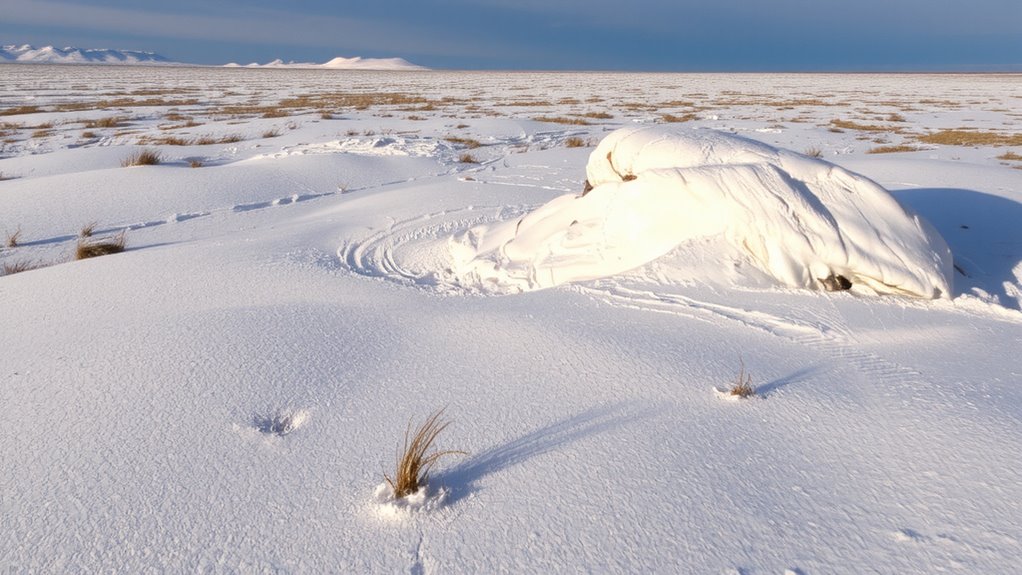
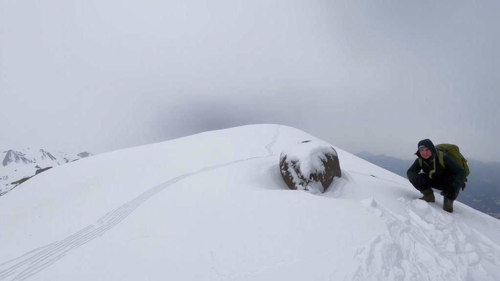
How do you find your way when the GPS quits and the map’s buried in your pack? You read the wind and snow. Prevailing winds shape landscapes through wind erosion, scouring snow from some areas while packing it heavily on the other side. That pattern isn’t random-it’s directional. Leeward slopes collect snow deposition; windward faces are stripped bare. These features repeat reliably across open terrain.
| Condition | What It Tells You |
|---|---|
| Smooth, hard snow | Likely wind-scoured side |
| Soft, deep drifts | Leeward, protected side |
| Exposed rock | Wind erosion dominant |
| Asymmetric mounds | Snow deposition direction |
You can judge exposure and aspect quickly. Use consistent patterns-don’t guess. Wind erosion reveals openness; snow deposition shows shelter. Together, they form a crude compass. Rely on them when tech fails, but verify when possible. Nature’s signs aren’t perfect, but they’re measurable and observable. A reliable backup to natural navigation is carrying one of the best survival survival compasses for added accuracy in low-visibility conditions.
Use Tree Flags and Drifts to Navigate
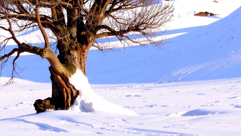
What if the wind’s not blowing, but you still need direction? Look at tree flags and snow drifts. Trees exposed to prevailing winds often show tree asymmetry, with branches growing mostly on the leeward side. You’ll see this clearly in forests near open areas-growth avoids the windward side, creating a flag-like shape. It’s a reliable indicator when other signs aren’t visible. Snow accumulation also helps. After a storm, drifts form on the sheltered sides of objects, usually the lee side, matching the dominant wind direction. These patterns persist for days, especially in open terrain. You can combine both cues: if tree asymmetry and snow drifts point the same way, confidence increases. They won’t replace your GPS, but they work without batteries. Just remember, local terrain can distort patterns, so check multiple sources before deciding your route.
Combine GPS With Natural Navigation Clues
If you’re relying solely on GPS, you’re missing a critical backup-pair it with natural navigation clues to stay oriented when signals fail. Animal behavior offers real-time cues; birds heading toward water at dusk signal nearby lakes or rivers, while consistent mammal trails often lead to resources. Observe patterns over time-they’re reliable when tech isn’t. Rock formations also provide stable reference points; prevailing winds shape sandstone edges, and layered strata can indicate direction, especially in arid regions where erosion exposes distinct angles. Moss may grow on north-facing sides, but that’s not universal-better to rely on consistent geological features. GPS gives precise coordinates, but it drains battery and depends on satellite visibility. Natural signs don’t fail when the device does. Combine both: use GPS to log waypoints, then verify alignment with animal movements and rock orientations. This dual-method approach improves accuracy and resilience in rugged terrain.
What to Do When GPS Dies
When your GPS cuts out, do you stop moving or start observing? You observe. Relying on backups like compasses risks error due to magnetic anomalies, especially near iron-rich rock or power lines. Instead, read natural signs. Animals often react before humans sense weather shifts, so watch animal behavior-birds clustering or deer moving downhill can signal storms. Wind-scoured snow accumulates leeward, showing prevailing wind direction. Use these cues to maintain course. Even the most reliable GPS devices for hiking can fail in extreme conditions, making natural navigation a critical backup skill.
| Clue | What It Tells You |
|---|---|
| Snow drift shape | Prevailing wind direction |
| Animal movement | Approaching weather or danger |
| Moss placement | Indirect moisture indicator (not true north) |
| Wind patterns | Local airflow and terrain effects |
| Magnetic compass | Risk of deviation near anomalies |
Stay oriented. Natural navigation works when electronics fail.
On a final note
You need more than GPS in the backcountry-batteries die, signals drop. Wind-scoured snow points leeward; tree flags lean downwind. These cues don’t fail. Pairing GPS with natural signs cuts risk. When tech fails, drifts and stunted foliage still show direction. It’s not backup-it’s baseline. Real navigation uses both: tech when it works, nature when it doesn’t. That mix keeps you moving, measured and sure.