Using Digital Elevation Models to Predict Microclimates for Survival
You can use 10-meter resolution DEMs to spot microclimates that impact survival. South-facing slopes warm faster; north-facing ones stay cold and wet. Cold air sinks, so frost hollows get dangerously chilly, while mid-slope zones offer stable temps. Funnel valleys double wind speeds, increasing fire risk, and dry basins can flash flood from distant storms. Free apps like Gaia GPS give offline access to SRTM data, letting you map hazards and water sources-skills that sharpen fast with practice.
Notable Insights
- South-facing slopes in the Northern Hemisphere warm faster due to higher sun exposure, creating drier, hotter microclimates.
- Cold air sinks and pools in frost hollows, making low-lying areas significantly colder and prone to frost.
- Mid-slope campsites offer stable temperatures by avoiding cold air drainage and wind exposure at peaks.
- Funnel-shaped valleys accelerate wind, increasing fire risk and heat loss, detectable via contour patterns on DEMs.
- Drainage paths and stream confluences revealed by DEMs indicate reliable water sources and flood-prone zones.
How DEMs Reveal Wild Weather Hazards
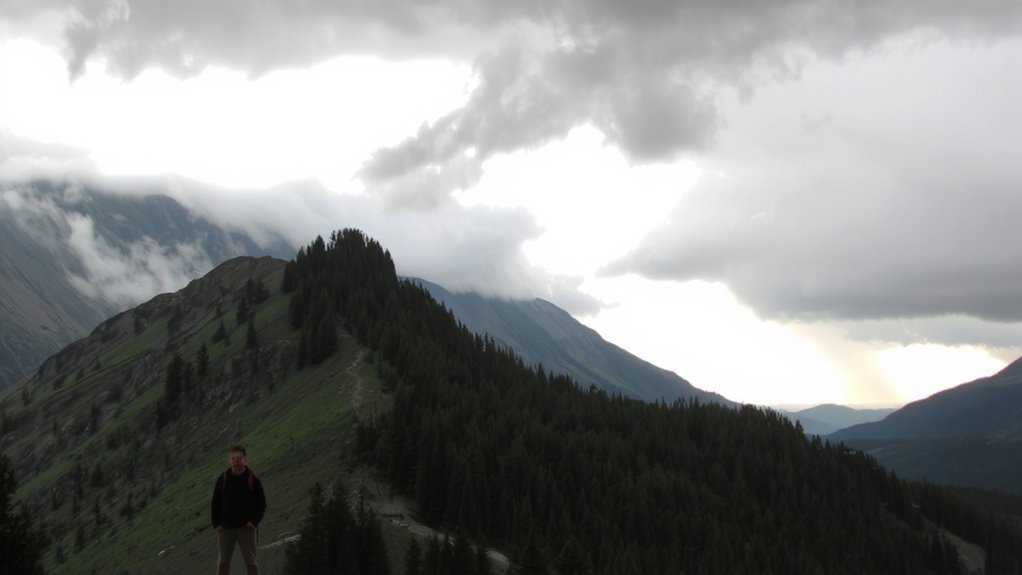
Why do some valleys flood unexpectedly while nearby ridges stay dry? Because terrain shapes local hazards in ways that aren’t obvious on the ground. Digital Elevation Models (DEMs) reveal these risks by mapping subtle elevation changes, exposing where water collects and wind accelerates. You’ll spot funnel-shaped valleys that act as wind tunnels, doubling wind speeds and increasing fire spread risk. DEMs also identify low-lying basins prone to flash floods, even when skies overhead stay clear. These models detect drainage paths where rain from distant storms converges fast, catching hikers off guard. You can’t rely on weather reports alone-micro-scale terrain effects override regional forecasts. Using a 10-meter resolution DEM, you see what the eye misses: blocked outlets, steep chutes, and confined spaces where hazards build quickly. It’s not about dramatic peaks-it’s the hidden dips and draws that threaten survival. Read the elevation, and you’ll see danger before you’re in it.
Map Microclimates Using Slope and Aspect
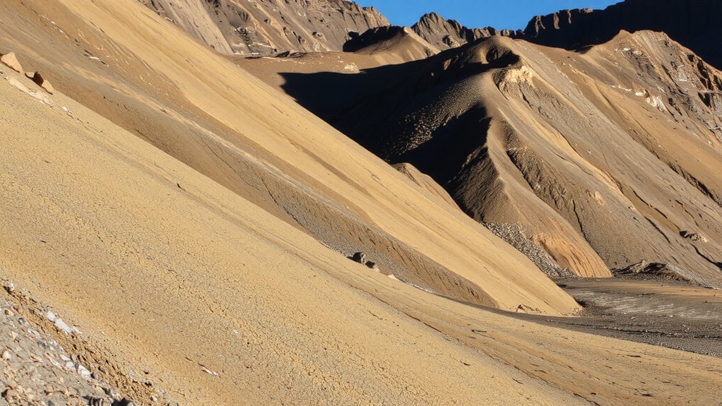
How much sun reaches the ground in any given spot? It depends largely on slope and aspect. These terrain features directly control sun exposure and influence local wind patterns, helping you map microclimates accurately. South-facing slopes (in the Northern Hemisphere) get more sunlight, warming the ground faster. North-facing ones stay cooler and retain moisture. Slope steepness affects how long heat lingers. Shallow angles warm evenly; steep inclines create sharp thermal boundaries.
| Aspect | Sun Exposure | Wind Patterns |
|---|---|---|
| South | High | Drier, downslope flow |
| North | Low | Cooler air accumulates |
| West | Moderate-Late | Afternoon winds stronger |
You can predict ground temperature shifts within 5–10°F based on aspect alone. Wind patterns align with slope shape-ridges channel airflow, while depressions trap cold air. Use this to anticipate comfort and risk without relying on gear.
Find Safer Campsites Using Elevation Data
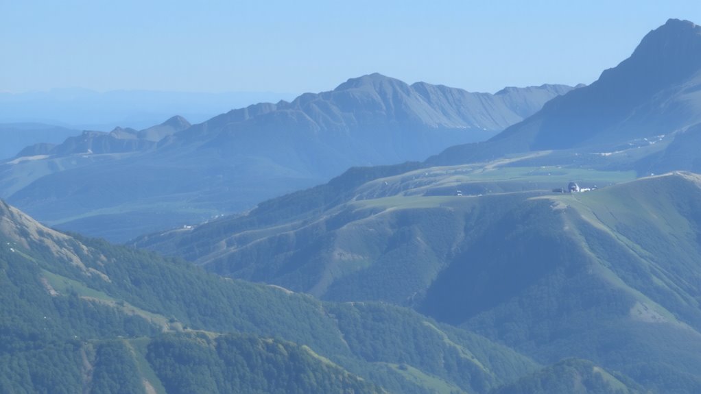
You’ve already used slope and aspect to map sun exposure and wind patterns, which helps identify where temperatures shift across the landscape. Now, use elevation gradients to locate stable microclimates for camping. Higher elevations cool rapidly at night, while valleys retain cold air-neither is ideal. Intermediate zones, halfway up a slope, often offer balanced conditions. Terrain masking plays a key role: ridges block wind, and dense topography shields from radiative cooling. Pick sites where surrounding terrain physically buffers extreme shifts. Avoid open saddles and exposed peaks; they amplify wind and temperature swings. Elevation data lets you spot these sheltered shift zones quickly. A difference of just 50 meters can reduce heat loss by several degrees. Steeper gradients mean faster changes, so moderate slopes are safer. Use contour lines to identify gentle, buffered areas. These spots offer repeatable advantages in thermal stability and wind protection. Test your choices over multiple nights to confirm consistency.
Avoid Frost Hollows That Trap Cold Air
Cold air sinks, and frost hollows are where it pools. You’ll face higher frost risk if you settle in these low-lying depressions, even on clear nights. Digital elevation models (DEMs) reveal these地形 traps-avoid them. Cold air flows downhill like water, collecting in basins and valleys, dropping temperatures several degrees below surrounding areas. In mountainous terrain, a 10-meter drop can expose you to noticeably colder conditions. Elevated ridges or mid-slope positions are safer, with better airflow and less cold air accumulation. DEM analysis helps identify these microclimate hazards before you commit to a site. Frost risk isn’t just about altitude-it’s about local topography. Even a slight dip can turn into a freezing trap by dawn. Choose ground that lets cold air drain away, not pool around you. Your survival depends on seeing the invisible flow of cold air. Plan accordingly.
Locate Water From Drainage Patterns
Where water flows after rain isn’t random-it follows the contours of the land, and you can predict its path using drainage patterns visible in digital elevation models. You’ll see where streams form and merge, especially at stream confluences, which often indicate reliable water flow even in dry periods. These junctions collect runoff from multiple directions, making them prime spots to find water. Watershed boundaries define the edges of drainage areas, helping you pinpoint where water accumulates versus where it diverges. By tracing slopes downward from ridgelines to low points, you identify natural channels that guide water. Focus on converging contours-they reveal valleys and gullies where moisture gathers. Avoid assuming all depressions hold water; look instead for repeated flow paths in the terrain. Drainage density and channel continuity matter more than size. In survival, knowing these patterns beats guesswork.
Use Free Apps to Access DEMs Anywhere
Digital elevation models let you map drainage patterns on the spot, but only if you can access them when off-grid. Free apps now let you download DEMs ahead of time and use them without signal. They pull from reliable data sources like SRTM and USGS, giving you elevation accuracy within 30 meters. App integration with GPS lets you track your position over terrain models, even in remote areas. Some apps work better than others, depending on device and region.
| App Name | Offline Support | Data Source |
|---|---|---|
| Gaia GPS | Yes | USGS, SRTM |
| Topo Maps+ | Yes | OpenTopo |
| OsmAnd | Yes | SRTM, NASA |
Each offers solid performance, but verify coverage before you go.
See Terrain Like a Survival Expert
How do you spot the safest place to camp when the weather turns bad? You use terrain analysis and contour reading to read the land like a survival expert. Start by identifying gentle slopes-look for widely spaced contour lines on your DEM app. These areas drain water and avoid cold air pooling. Avoid valleys where runoff collects and ridges exposed to wind. Instead, find natural windbreaks like wooded benches or depressions just below a crest. Contour reading helps you see these features fast. Elevations matter-microclimates shift every few hundred feet. Higher isn’t always safer; wind increases with height. Lower slopes may trap cold, damp air. With practice, you’ll interpret shadows and line patterns quickly. It’s not guesswork-it’s measurable. You reduce risk by matching terrain analysis to forecast conditions. No gear replaces this skill. It’s precise, portable, and always available.
On a final note
You can use DEMs to find safer campsites, avoid cold air pooling, and locate water. Slope and aspect help predict sun exposure and wind. Free apps give real-time access, but require offline setup. Accuracy depends on resolution-30m data works for general planning, but 10m reveals finer details. DEMs don’t show vegetation or soil, so pair them with field observation. They’re practical, not perfect.