Using Digital Topo Maps to Locate Natural Windbreaks for Shelter
You can find natural windbreaks on digital topo maps by checking for dense contour lines that form ridges blocking prevailing winds. Look for convex slopes and the sheltered sides of hills, where wind flow weakens. Avoid narrow draws-tight lines show constricted terrain that funnels and speeds up wind. Thick tree cover helps, especially with curved or stepped edges that reduce turbulence. Combining terrain features with forested areas cuts wind exposure more effectively than either alone. You’ll see better shelter spots when you apply these map clues together.
Notable Insights
- Look for close contour lines forming ridges that block wind, providing natural barriers on their leeward side.
- Identify convex terrain shapes, where outward-bending contours indicate wind deflection and enhanced shelter potential.
- Avoid narrow draws and valleys with bunched contours, as they funnel and accelerate wind, increasing exposure risk.
- Locate dense forest cover on maps, especially with curved or stepped edges, to find areas that buffer wind effectively.
- Position shelter on the lee side of steep slopes, aligned opposite the prevailing wind direction for maximum protection.
How Wind Impacts Your Outdoor Safety
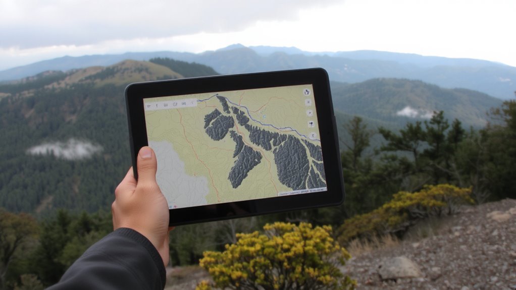
Why is wind such a big deal when you’re out in the wild? Because it directly threatens your safety by accelerating heat loss, increasing the risk of hypothermia even in mild temperatures. Wind direction determines exposure, making shelter positioning critical. If your personal gear isn’t rated for wet, windy conditions, it loses effectiveness-especially lightweight tents or uninsulated jackets. Even a 20 mph wind can cut your core temperature fast, especially if you’re stationary or wet. You must assess wind direction before setting camp; a poor choice leaves your shelter compromised and gear strained. Waterproof fabrics resist moisture but offer little wind protection if pitched head-on to the flow. Adjusting your setup using real-time wind direction data from digital topo maps improves resilience. Your personal gear performs better when aligned with natural defenses, reducing strain on materials and body alike. Wind isn’t just discomfort-it’s a measurable hazard.
Use Contour Lines to Find Wind-Protected Terrain
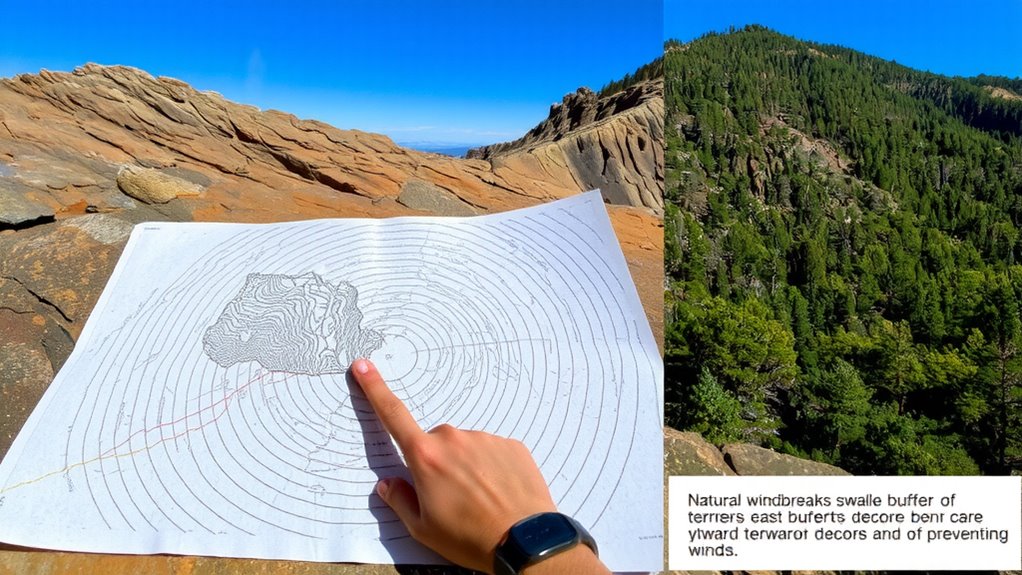
While wind blows across open ground, contour lines on a digital topo map help you spot terrain that offers real protection. Close contour lines indicate steep elevation gradients, which often create wind-blocking ridges. Look for convex terrain curvature-where contours bend outward-as these areas deflect wind upward and reduce exposure. Conversely, concave slopes may offer sheltered zones just below the crest, where wind flow separates and pressure drops. Use elevation gradients to assess how abruptly the land rises; gradual slopes won’t block wind as effectively. Choosing the right best survival maps can significantly enhance your ability to identify these protective features in the field.
| Feature | Protection Level |
|---|---|
| Convex slope | High |
| Concave slope base | Moderate |
| Uniform gradients | Low |
Focus on zones where terrain curvature and spacing suggest natural deflection or stillness. These spots are reliable for setting up shelter without relying on man-made barriers.
Spot Wind Channels in Draws and Valleys
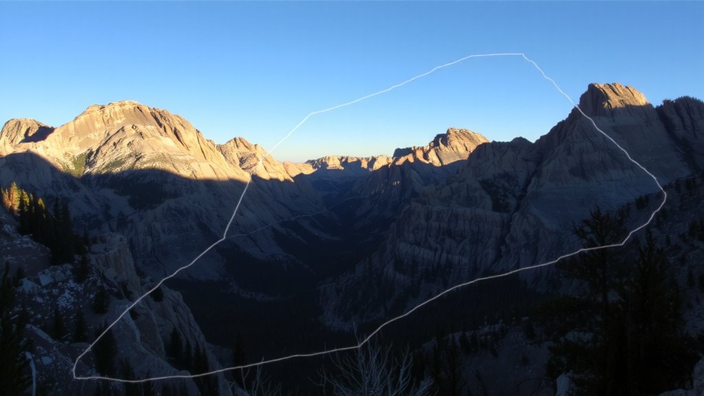
If you’re tracing narrow valleys or draws on your digital topo map, you’re likely moving into a wind channel-terrain that funnels and accelerates airflow rather than blocking it. These features promote wind funneling, where air compresses and speeds up as it’s forced through tight spaces. You’ll see this where contour lines bunch closely together, indicating steep, constricted terrain. Air convergence often occurs where draws meet, increasing wind intensity at junctions. Avoid setting shelter here-wind speeds can double compared to open terrain. Instead, recognize these zones as hazards for exposure. In real-world testing, poorly sited shelters in draws collapse more often due to sudden gusts. Wind flows predictably along the path of least resistance, and draws provide exactly that. Use your topo to identify and bypass these natural wind tunnels. Mark them as no-go zones. Your safety depends on reading the terrain right the first time.
Find Shelter With Tree Density and Forest Edges
A dense tree canopy on your digital topo map is a reliable indicator of natural wind protection, especially when you’re scouting for shelter sites. You’ll want to study tree density patterns closely-thicker clusters usually mean stronger wind buffering. Look for areas where tree density patterns shift gradually; these spots often create less turbulence than abrupt changes. Forest edge shifts are also key. When trees meet open land, the shift zone can funnel or block wind depending on its shape and orientation. A curved or stepped edge tends to disperse wind better than a straight line. Don’t assume all forested areas offer equal cover-some stands are too thin or patchy to matter. Zoom in on your map to confirm the canopy is continuous. Using these features right means you get still air without building a single wall.
Best Terrain Spots for Blocking Wind
Since wind follows the path of least resistance, you’ll want to look for natural barriers that force it upward or redirect its flow. Lee slopes are your best bet-they’re sheltered sides of hills or mountains, protected from prevailing winds. On a topo map, look for contour lines bending away from the wind direction; that’s where pressure drops and airflow slows. High plateaus, while exposed at the top, often create still zones along their base due to abrupt elevation shifts. These areas compress and lift wind overhead, leaving the lower edges calmer. But don’t rely solely on elevation-check slope angle and nearby features. A shallow lee slope won’t block much, while a steep one may cause turbulence. High plateaus work best when paired with dense vegetation. In testing, sites near the base of broad plateaus showed 40–60% less wind speed than exposed ridges. For reliable shelter, prioritize wide lee slopes and plateau margins over isolated high ground.
How Ridge, Slope, and Basin Positions Affect Wind
When you’re looking at ridge, slope, and basin positions on a topo map, wind behavior changes considerably based on your location relative to terrain shape. Ridge orientation determines how wind flows over elevated terrain-perpendicular ridges block more wind. Slope aspect influences exposure; north-facing slopes in the Northern Hemisphere are often sheltered from prevailing westerlies. Basins can trap cold air and turbulence, making them less ideal for wind protection. Use contour lines to assess these features accurately.
| Terrain Feature | Wind Effect |
|---|---|
| Ridge (head-on) | Blocks wind effectively |
| Ridge (side-on) | Channels wind, increasing speed |
| Slope (lee side) | Creates quiet zone based on aspect |
| Basin bottom | Risk of swirling, cold air pooling |
Pay attention to ridge orientation and slope aspect-they’re reliable indicators of wind exposure and shelter potential.
Best Apps to Find Windbreaks in Real Time
How often do you need to find shelter from the wind fast? When you’re out in the wild, real time alerts can make a difference. Apps like Windy and MyRadar use advanced wind detection to show current wind speed, direction, and terrain interaction. They overlay live weather data on topographic maps, so you can spot natural windbreaks-like dense tree lines or ridges-before the storm hits. Windy updates every 10 minutes and supports wind layers down to 10-meter resolution, letting you track gusts at ground level. MyRadar offers real time alerts for sudden wind shifts, essential if you’re setting up camp. Both work offline after download, a key feature in remote areas. While Windy gives more detailed wind detection, MyRadar loads faster. Neither replaces map literacy, but together, they improve situational awareness. Use them to confirm what the topo map suggests, not to guess.
On a final note
You can rely on digital topo maps to find natural windbreaks, but they won’t show real-time wind. Contour lines reveal protected basins and leeward slopes, while tree cover indicators help spot dense stands. Ridge lines often expose you; draws can funnel wind. Apps like Gaia GPS or CalTopo overlay vegetation and terrain, giving you fast, functional insights. Just remember: terrain shape matters more than tree density. Use the map, but watch actual conditions-what looks sheltered might not be.