Using Satellite Devices to Receive Solar Storm Alerts Affecting Navigation
You can use satellite devices like those tied to DSCOVR and GOES to get early warnings when solar storms threaten GPS accuracy. These systems detect solar wind shifts and ionospheric disturbances, sending real-time alerts that give pilots and drivers 8–10 minutes to respond. Dual-frequency receivers cut errors from hundreds of meters to under thirty, but most consumer devices don’t have them. Devices with NOAA SWPC integration, Faraday shielding, and multi-constellation support (GPS + GLONASS) hold up better-knowing which features actually perform under stress makes all the difference. There’s more to think about when choosing the right setup for critical navigation.
Notable Insights
- Satellite devices like Garmin inReach receive NOAA SWPC alerts for real-time solar storm warnings.
- DSCOVR and GOES satellites provide early solar wind and ionospheric disturbance data used in alerts.
- Devices with dual-frequency GPS reduce navigation errors caused by ionospheric disruptions during solar storms.
- Faraday bags and spare power sources protect satellite devices from solar storm-induced electromagnetic interference.
- Navigation apps integrate space weather alerts to warn users without requiring separate monitoring applications.
How Solar Storms Break GPS Signals
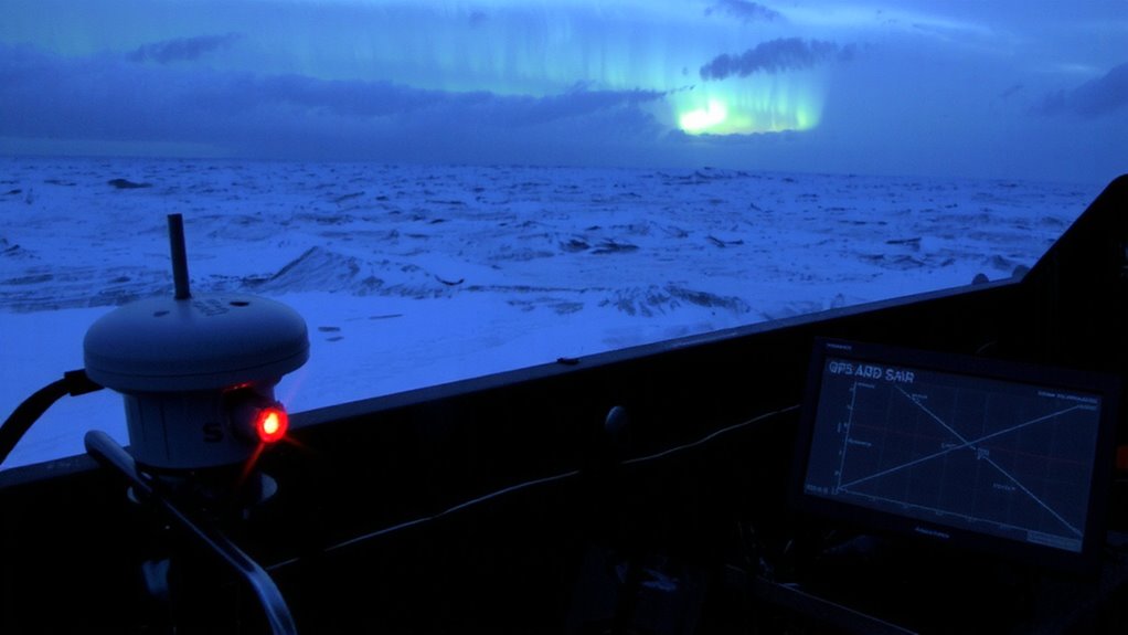
While solar storms don’t happen every day, they can wreck your GPS signal when they do-especially during peak solar activity. You rely on GPS for timing and positioning, but intense solar radiation triggers ionospheric disturbances that bend and slow satellite signals. This causes signal degradation, making your receiver miscalculate position by tens of meters-or lose lock entirely. High-frequency radio waves, like those from GPS satellites, pass through the ionosphere, but during a storm, electron density shifts rapidly, scrambling timing data. Dual-frequency receivers help correct errors by comparing delays, but most consumer devices don’t have that capability. Even military-grade units see temporary performance drops. The impact varies by region, with equatorial and polar zones hit hardest. You won’t prevent disruption, but understanding ionospheric disturbances prepares you to anticipate signal loss and switch to backup navigation when accuracy drops.
Satellites That Detect Solar Storms: GOES, DSCOVR, and ACE
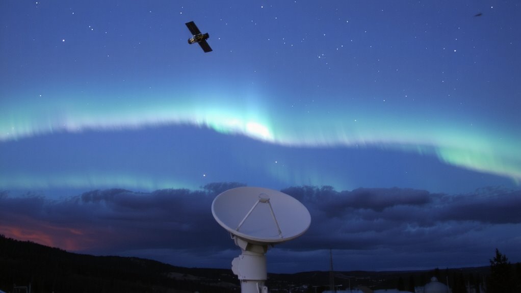
When solar storms threaten, early warnings from dedicated satellites can give you the edge in preparing for disruptions to communication and navigation systems. You rely on GOES, DSCOVR, and ACE because their satellite instrumentation delivers real-time data on solar activity. GOES monitors Earth-facing solar emissions with reliable sensors, though it doesn’t track solar wind directly. DSCOVR, positioned at the L1 point, provides 15 to 60 minutes of lead time by measuring solar wind parameters like speed and magnetic field strength-key for solar wind monitoring. ACE complements this by offering detailed compositional analysis, improving forecast accuracy. While ACE is aging, its data still enhances warnings. DSCOVR’s instruments are more modern and stable, making it your best primary source. Together, these satellites form a practical early detection network. You don’t get instant fixes, but you do get actionable data-critical for minimizing navigation errors before storms hit.
Real-Time Alerts for Pilots and Drivers
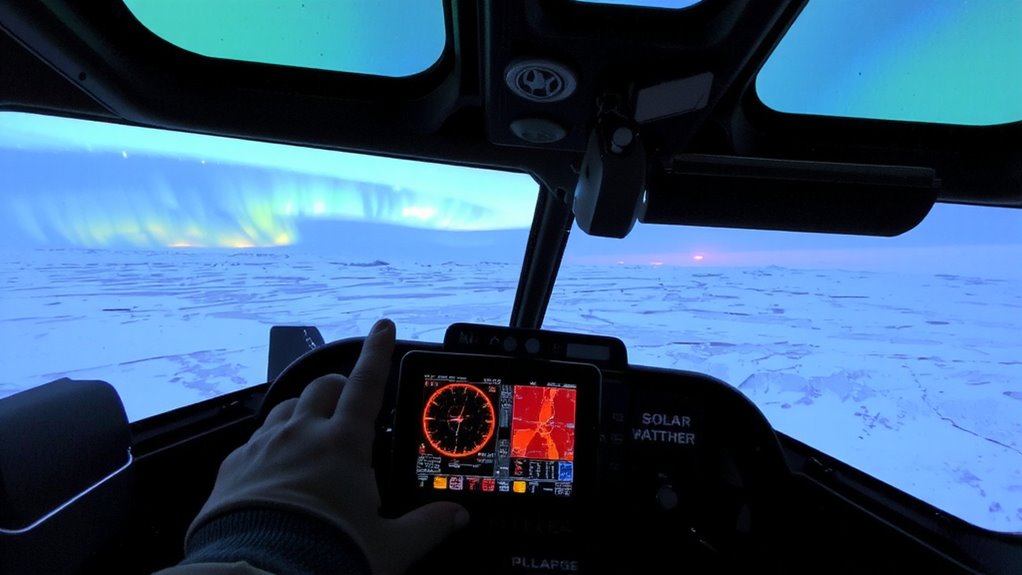
What good is a warning if it doesn’t reach you in time? With real-time alerts, satellite systems deliver critical updates on ionospheric disturbances and geomagnetic fluctuations directly to pilots and drivers within seconds. These alerts help you adjust navigation routes before GPS accuracy degrades. Devices using dual-frequency receivers cut through signal delays caused by solar activity, reducing position errors from hundreds of meters to under thirty. Pilots flying polar routes get alerts via satellite-linked cockpit displays, giving them 8–10 minutes to respond before disruptions peak. Drivers relying on precise timing for logistics or emergency response see similar benefits when alerts integrate with onboard diagnostics. Systems like those powered by NOAA’s GOES data provide actionable warnings, not guesses. Delayed data isn’t useful-timely, verified alerts are. You need them now, not later. If your device can’t process live space weather feeds, it won’t help when it matters.
Adding Solar Warnings to GPS and Navigation Apps
How often do you check your GPS app before a long drive or flight? You’ll want it to do more than route you-you need warnings when solar storms threaten navigation accuracy. Modern app integration now allows real-time space weather alerts directly in your navigation software. These updates appear seamlessly, avoiding clutter while maintaining usability. Good user interfaces display warnings only when necessary, reducing distractions without sacrificing awareness.
| Feature | Benefit |
|---|---|
| Embedded alerts | No need to switch apps |
| Auto-dismissal | Keeps interface clean |
| Storm severity icons | Quick visual assessment |
| Offline access | Works when signal is weak |
This integration doesn’t replace dedicated systems but adds a practical layer. You get timely data without complexity. The tech works across platforms, but performance varies based on update frequency and display clarity. Choose apps that prioritize function over flash.
What You Should Do Before a Solar Storm Hits
You’ll want to act before a solar storm hits, not after-preparation makes the difference in whether systems stay online or fail when space weather turns. For emergency preparedness, verify your satellite device receives NOAA SWPC alerts and test its signal lock under low-power conditions. Keep spare batteries or a solar charger rated for 12V–24V systems; field tests show they extend operation by 6–10 hours. Store devices in a Faraday bag to shield against electromagnetic pulses. Establish a communication backup: hand-crank radios with NOAA bands work when networks fail, and satellite messengers like Garmin inReach maintain text transmission at -20°C. GPS units with multi-constellation support (GPS + GLONASS) reduce signal loss by 30% during moderate storms. Update firmware to enable anomaly detection modes. These steps won’t stop a storm, but they preserve navigation and coordination when you need them most. A reliable option for NOAA alerts is a weather radio with S.A.M.E. technology, such as those found among the best weather radios.
On a final note
You’ll want real-time solar storm alerts if you rely on GPS for navigation. Devices linked to GOES, DSCOVR, or ACE satellites deliver warnings 15–60 minutes before disruptions hit. Some GPS units and apps now integrate these alerts, letting you adjust routes before signal loss occurs. It’s not foolproof-accuracy drops during strong storms-but early warnings improve situational awareness. Pair alerts with offline maps and compass backups for reliable navigation when signals fail.