How to Navigate by GPS When Magnetic Compasses Are Unreliable
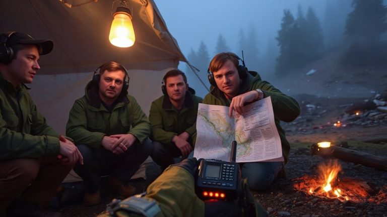
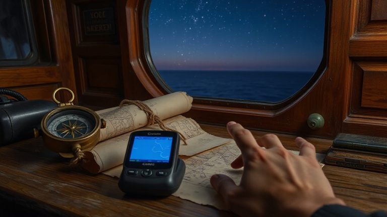
You can navigate reliably with GPS when compasses fail by preparing your device ahead of time. Turn it on early to lock satellites, calibrate the compass, and verify coordinates at known points. Use offline maps from apps like Gaia GPS to avoid reliance on signal. GPS determines direction through movement, not magnetism, so keep moving for accurate bearings. In low-signal areas, stay in the open and use multi-constellation devices for better accuracy. Expect 6–10 hours of battery life; save power with airplane mode and spare batteries. Position drift happens in canyons or dense tree cover due to signal bounce-average fixes by pausing several minutes. Devices with GLONASS or Gal游戏副本 support improve lock stability. If magnetic interference is constant, trust GPS track logs to retrace your route. Continued tips follow.
Notable Insights
- Use GPS course-over-ground to determine direction, as it relies on satellite movement instead of magnetic fields.
- Calibrate your GPS compass and set the correct map datum to reduce navigation errors.
- Maintain signal accuracy by staying in open areas and avoiding terrain that blocks satellite reception.
- Enable multi-constellation support (GPS, GLONASS, Galileo) to improve positioning reliability in challenging environments.
- Follow track logs and recorded paths to navigate confidently when compass readings are unstable or unavailable.
Prep Your GPS Before You Leave
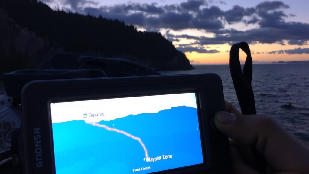
Ever wonder what happens when your GPS fails mid-trip because it wasn’t set up right from the start? You’re relying on GPS accuracy, but without proper prep, signal interference from terrain or poor satellite alignment can leave you stranded. Turn on your device early-let it lock onto satellites for at least 15 minutes in open sky. That boosts initial fix speed and improves positional reliability. Check firmware updates; outdated software degrades performance. Calibrate the compass and set the correct map datum-mismatches here cause tracking errors. Use a known location to verify coordinates match real-world positions. Confirm battery life meets trip length, and carry spares. A properly configured GPS minimizes dropouts and maintains accuracy under tree cover or in canyons. You won’t eliminate signal interference entirely, but good prep reduces its impact. Test everything before you leave-your backcountry navigation depends on it. Choosing one of the best GPS devices for hiking ensures better reliability in remote areas.
Download Offline Maps for Anywhere Access
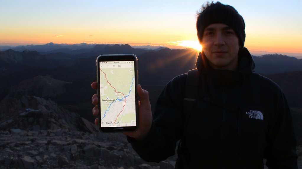
Most modern GPS units and smartphone apps let you download offline maps, so you’re not caught without navigation when cell service drops. You’ll want reliable offline access, especially in remote areas where signals are weak or nonexistent. Apps like Gaia GPS and maps on Garmin devices allow you to preload topographic, trail, or road maps directly to your device. This reduces reliance on data and guarantees you can track your location even without connectivity. Map storage varies by device-phones typically offer more space, but dedicated GPS units often manage storage more efficiently. A 16 GB phone can store thousands of square miles of terrain, depending on detail level. Just remember: larger maps take up more space. Balance coverage with available storage to avoid overloading your device. Test loading and zooming beforehand to confirm smooth performance. Plan your downloads based on your route and keep backups where possible. For extended backcountry trips, consider a best hiking GPS device that supports long battery life and rugged durability.
Save Battery for Longer GPS Use
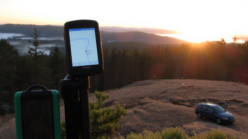
Frequently, extending your device’s battery life is essential when relying on GPS in the backcountry. You can expect most smartphones to last 6–10 hours with GPS active, but power saving settings nearly double that. Turn off Bluetooth, disable background app refresh, and lower screen brightness to reduce drain. Use airplane mode if you’ve downloaded offline maps-this improves battery optimization by limiting signal searching. GPS-only mode, instead of high accuracy, cuts power use by disabling Wi-Fi and cellular scanning. Some rugged GPS devices offer 20+ hours with minimal power saving tweaks. Carry a spare battery or solar charger for trips over a day. Every setting you adjust adds up-measurable gains come from simple trade-offs like reduced screen time and disabled features you don’t need. Plan for extended use by prioritizing battery optimization from the start. A reliable backup option is using a 12-volt solar battery charger to keep spare batteries powered during extended off-grid adventures.
Navigate Using GPS Without a Compass
Why depend on a compass when your GPS can guide you just as reliably? Modern GPS units calculate direction from movement, not magnetism, so they work where compasses fail. As long as you’re moving, the device updates your bearing using gps accuracy from satellite triangulation. Still, signal interference from terrain or dense canopy may delay updates. Stand in clear areas to regain lock. Don’t rely on static readings-motion improves tracking.
| Feature | Benefit |
|---|---|
| Course-over-ground calculation | No compass needed for direction |
| Real-time position updates | Maintains navigation during magnetic disruption |
| Signal lock indicators | Warns of gps accuracy loss due to interference |
Keep moving steadily for best results. Short stops won’t disrupt navigation, but prolonged pauses reduce responsiveness. Use track logs to retrace steps if signal interference worsens. GPS isn’t flawless, but it’s dependable when you understand its limits.
Fix GPS Drift in Low-Signal Areas
When satellite signals weaken due to heavy tree cover or narrow canyons, your GPS might start to drift-showing you’re off course even when you’re not. This happens because terrain masking blocks satellites, reducing the number of signals your device can lock onto. In urban areas or steep valleys, signal reflection bounces readings off rock faces or buildings, worsening accuracy. To fix this, stay in open areas whenever possible and wait for your unit to reacquire strong signals. Use a GPS with a high-sensitivity receiver and support for multiple constellations like GPS, GLONASS, and Galileo-they reduce drift in tough conditions. Set your device to log trackpoints less frequently to avoid false movement records. You can also manually average position fixes by staying still for a few minutes, letting the GPS compute a more stable location. These steps lower error caused by weak or corrupted signals.
Check Position When the Compass Can’t Be Trusted
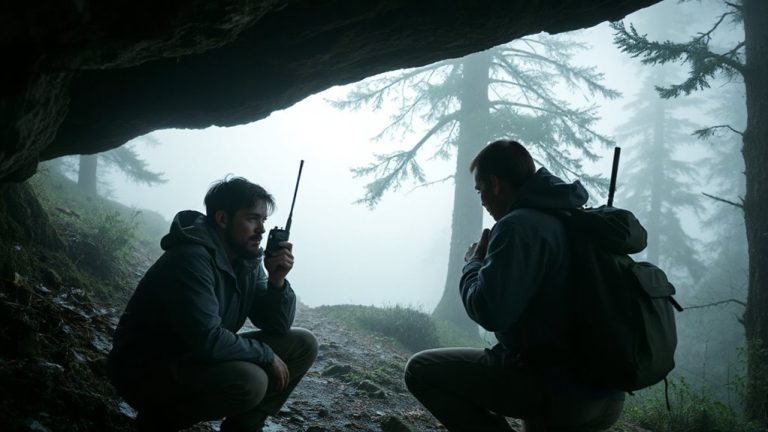
How do you know where you’re headed if your compass won’t cooperate? You rely on GPS, but only after verifying your position. Compass failures often happen near magnetic anomalies, so checking your GPS location frequently is essential. Signal interference from power lines or electronics can degrade accuracy, leading to errors. Terrain masking-like being in deep valleys or dense forests-blocks satellite signals, causing dropouts. When that happens, your GPS might show a wrong heading, especially when stationary. To reduce risk, cross-check with known landmarks or coordinates from a topographic map. Use a GPS device with a barometric altimeter to confirm elevation changes. Don’t trust a single data point; instead, assess movement over time. If position aligns with expected speed and direction, you’re likely on track. This method compensates for compass unreliability without overcomplicating decisions.
On a final note
You can rely on GPS when compasses fail, but only if you prepare. Download offline maps so you’re not caught without signal. Conserve battery with power-saving mode or an external pack. Use GPS coordinates and waypoints directly-don’t wait for compass readings. In weak signal areas, recalibrate and check elevation for accuracy. A charged, tested GPS unit outperforms a faulty compass every time. Just keep it simple, verified, and updated.