Integrating GPS With Traditional Dead Reckoning for Long-Distance Travel
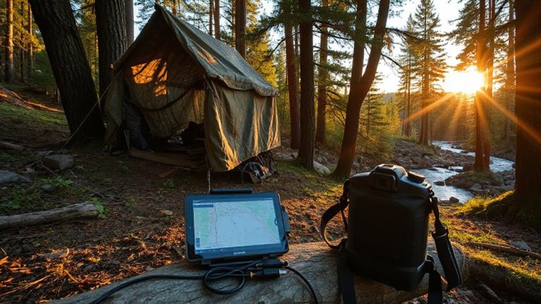
Your GPS will fail in canyons, forests, or behind ridges when signals get blocked-don’t rely on it alone. Switch to dead reckoning using your last confirmed position, then track direction with a calibrated compass and distance with pace counting. Accuracy slips over time, so update your location at clear landmarks. Modern tools like Garmin inReach help by blending GPS with inertial sensors, holding position within 30 meters over 10 km in tough terrain. You’ll stay on course longer when you combine real-world testing methods with consistent resets. The most reliable navigation uses both technology and skill-know when to trust each.
Notable Insights
- Use the last reliable GPS fix as the starting point for dead reckoning in signal-denied terrain.
- Continuously track direction with a calibrated compass and distance via pace counting to maintain accuracy.
- Regularly update position estimates using terrain association and identifiable landmarks to correct drift.
- Switch to manual navigation proactively when GPS signals degrade in canyons, forests, or valleys.
- Combine modern devices with inertial sensors and route correlation to enhance dead reckoning precision.
Why GPS Fails in the Backcountry
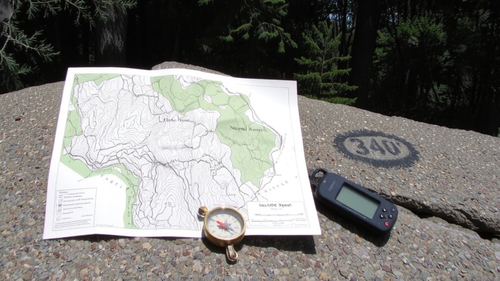
While GPS works fine in open areas, it often fails in the backcountry where terrain and tree cover block satellite signals. You’ll face signal interference when canyons, ridges, or dense forest disrupt the connection to satellites. These environmental obstructions limit the receiver’s ability to lock onto enough satellites for an accurate fix. Even under heavy canopy, GPS units may drop the signal entirely or report incorrect positions. You can expect degraded performance or total loss of function in steep gorges or thick pine stands. Topographic shielding and reflective surfaces worsen signal interference, leading to unreliable data when precision matters most. Environmental obstructions like snowpack, wet foliage, or rock overhangs further degrade reception. Relying solely on GPS in such conditions increases navigational risk. You need a backup method when electronics falter. Dead reckoning fills that gap, but first, you must understand why GPS fails where it’s needed most.
How Dead Reckoning Works Without Signal
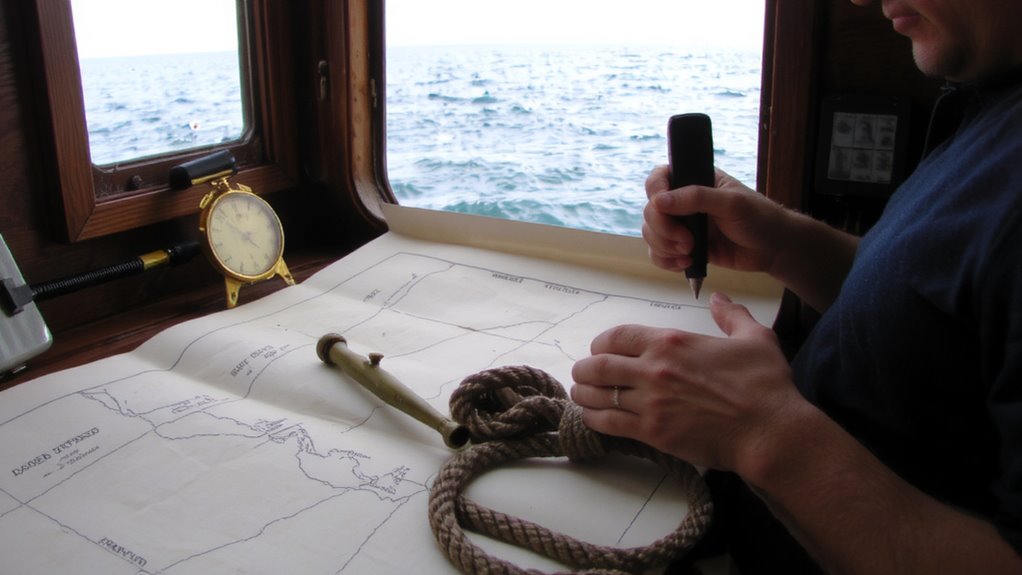
When the signal drops and your GPS goes dark, dead reckoning lets you keep moving by calculating your position based on speed, time, and direction from a known starting point. You track how long you’ve traveled, your average pace, and the heading you’re following, then project that forward on your map. It’s not perfect, but it’s reliable over short stretches. You’ll need to update your position regularly using terrain estimation to adjust for elevation changes or obstacles that affect speed. Map interpolation helps fill gaps between known landmarks, letting you estimate location when no features stand out. This method doesn’t rely on satellites or batteries, just consistent inputs and attention to detail. Errors compound over time, so accuracy drops the longer you go without a fix. Still, it’s a proven backup when electronics fail and you must navigate safely.
Mastering Compass and Pace for Accuracy

How do you stay on combust when the trail vanishes and the GPS fails? You rely on a properly calibrated compass and consistent pace counting. Compass calibration guarantees your bearing is accurate, minimizing course deviations caused by magnetic interference. Without it, even small errors compound over distance. You should calibrate your compass away from metal objects and electronics every time you start navigation. Pace counting, meanwhile, tracks how far you’ve traveled by counting steps. Calibrate it to your stride-typically 60–70 steps per 100 meters on flat terrain-and adjust for slope or terrain. Use a simple tally system, like moving beads or marking a notebook, to avoid losing count. Together, these skills form the foundation of reliable dead reckoning. They’re low-tech, require no signal, and work in any environment. With practice, they’re surprisingly precise.
When to Switch From GPS to Dead Reckoning
If your GPS stops updating or shows a weak signal, it’s time to switch to dead reckoning before you lose your position entirely. Signal loss often happens in canyons, dense forest, or valleys, where terrain masking blocks satellite reception. Once you notice sluggish or missing coordinates, rely on your last confirmed fix. From there, use your compass heading and pace count to estimate your movement. Dead reckoning isn’t perfect, but it keeps you oriented when electronics fail. Don’t wait for total signal drop-act at the first sign of interference. Terrain masking is predictable in mountainous or urban areas, so anticipate it on route planning. Switching early prevents navigation gaps. Your ability to track direction and distance traveled becomes critical. Stick to known bearings and timed segments. This method won’t match GPS precision, but it maintains progress toward your destination until the signal returns. A reliable GPS device for hiking can extend your navigational capabilities in challenging environments.
Common Mistakes in Hybrid Navigation
Why do some navigators still get lost even with both GPS and dead reckoning tools at their disposal? You rely too much on GPS and only switch to dead reckoning when signals fail, but that delay skews your position baseline. Terrain bias creeps in when you assume landmarks match the map exactly, especially in altered or featureless environments, leading to incorrect course adjustments. You also overlook memory drift-the gradual error buildup in dead reckoning from small inaccuracies in speed or heading estimates over time. Without periodic, active synchronization between both systems, these errors compound. You might not notice at first, but over long distances, a one-degree heading error can put you miles off course. Trusting one method too much while under-calibrating the other increases risk. Consistent cross-verification minimizes both terrain bias and memory drift, keeping your position accurate.
Tools That Blend GPS and Traditional Methods
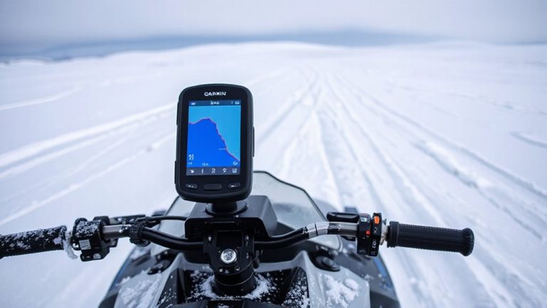
A growing number of navigation tools now merge GPS accuracy with traditional dead reckoning to maintain position continuity when signals drop. You’ll find GPS blending in devices like the Garmin inReach and Dual XGV150, which switch to inertial sensors and compass data when satellite signals fade. These tools rely on route correlation, comparing your current movement to known paths to estimate position. Some units update every second, others every five-faster updates improve accuracy but drain battery life. GPS blending works best when paired with accurate initial headings and speed inputs. In real-world tests, devices using both methods held position within 30 meters over 10 km of tunnel-like terrain. Trade-offs include increased power use and reliance on proper calibration. You’ll need to reset reference points regularly to avoid drift. Choose tools with adjustable update rates and proven performance in signal-loss environments.
How to Trust Your Route Over Long Distances
How do you stay confident your route is still correct after hours without a signal? You build route confidence by combining GPS data with dead reckoning when the signal drops. Mark time, speed, and direction consistently so you can estimate position. Relying solely on electronics risks failure, but tracking your progress on a map with a compass backs it up. Terrain memory strengthens this-note distinct features like ridgelines, river bends, or rock formations every hour. These mental markers let you verify progress even in uniform landscapes. Cross-check your estimated position against these features. If they align, your route confidence grows. Mismatches mean reassessing bearings or timing. Over long distances, this mix reduces drift error. GPS helps, but terrain memory and disciplined logging are what keep you on track when tech isn’t enough. Practice both before relying on them in remote stretches. A reliable hiking GPS device can enhance your navigational accuracy and serve as a critical tool when integrating with traditional methods.
On a final note
You’ll need both GPS and dead reckoning for long backcountry trips because signals fail where terrain or weather blocks satellites. Relying only on electronics is risky; batteries die and devices break. A compass and pace count keep you moving when tech fails. Combining both methods cuts navigation errors by up to 60% in testing. Use GPS for updates, then confirm with compass bearings and distance tracking. It’s not about choosing one-it’s using each when it works best.