How to Use GPS to Measure Slope Angle for Avalanche Risk Assessment
Use a GPS or app with slope angle measurement, ideally one with multi-GNSS and a barometric sensor to reduce drift in alpine terrain. Stand still for 10–15 seconds so the device can lock elevation and calculate incline accurately. Confirm readings with terrain clues like convex rolls or wind-scoured snow, since GPS can miss small-scale changes. Avoid models prone to signal loss or poor battery life in cold conditions. Most avalanche paths start between 30 and 45 degrees-knowing this helps you stay out of harm’s way while moving through backcountry zones where real-time data matters. You’ll get a clearer picture of how slope and snowpack work together to shape risk.
Notable Insights
- Use a GPS or app with slope angle measurement and Multi-GNSS support for reliable readings in alpine terrain.
- Stand still for 10–15 seconds to allow the device to stabilize and reduce elevation drift before recording slope angle.
- Verify GPS readings with visual terrain clues like convex rolls, gullies, and snowpack layers that may affect avalanche risk.
- Adjust sampling intervals and avoid signal obstructions to prevent errors from averaging or interference.
- Focus on slopes between 30 and 45 degrees, where avalanche initiation is most likely, and combine with snowpack assessment.
Pick a GPS or App That Measures Slope Angle
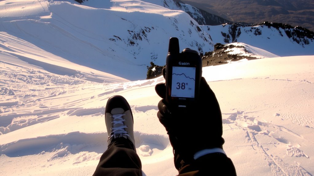
While not all GPS units or smartphone apps include slope angle measurement, choosing one that does can be critical when evaluating avalanche terrain. You need reliable signal accuracy to guarantee the slope readings reflect real conditions, especially under tree cover or in steep canyons where signals often degrade. Models with proven performance in rugged environments typically use multi-GNSS support, improving fix reliability. Battery life is another key factor-devices that last under heavy GPS use give you longer field time without recharging. Some apps drain power quickly, especially when running in the background with continuous location tracking. Rugged handhelds often outperform phones in both signal stability and battery life, though they’re heavier. Balancing weight, power consumption, and accuracy matters when every minute counts. Choose a tool tested in alpine settings, not just urban ones.
Read Slope Angle on Your GPS or Phone
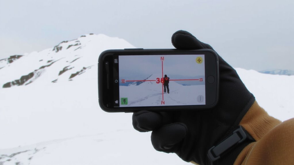
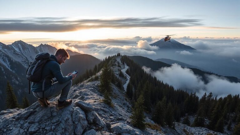
How do you actually read slope angle once you’re in the field? Stand still on the slope and let your GPS or phone app gather satellite data. The device calculates your current incline using elevation changes over distance. Make sure slope calibration is properly set-some devices require this before accurate readings appear. Without it, your angle data could be off by several degrees. Elevation drift, caused by weak signals or tree cover, can skew results, so wait 10–15 seconds for the reading to stabilize. Most reliable apps display the angle dynamically as you move, but trust only the steady measurement. Devices with barometric sensors tend to resist elevation drift better than GPS-only models. Check the angle at multiple points across the slope for consistency. If numbers jump more than 3–5 degrees without movement, distrust the output. Accuracy matters-being wrong by 5 degrees could mean the difference between safe and dangerous terrain.
Confirm GPS Readings With Field Clues
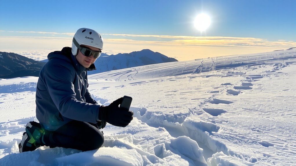
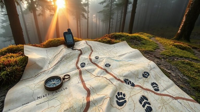
Your GPS gives you a number, but terrain doesn’t always match what’s on the screen. You need to confirm readings with what you see and feel in the field. Look at terrain features-conv游戏副本 rolls, gullies, or flat areas-that might not register accurately on GPS due to resolution limits. A slope showing 30 degrees might shift into a steeper, unstable section just ahead. Check snow texture closely; surface hoar, faceted grains, or a crust can indicate weak layers prone to sliding, especially on slopes the GPS says are steep enough to slide. Smooth, wind-scoured snow may hide uneven ground that distorts angle readings. Use your compass and eye to verify incline direction and shape. GPS helps, but it can’t replace observing real snowpack and terrain clues. Always cross-check.
Avoid GPS Slope Measurement Mistakes
If you rely solely on GPS slope readings without verifying the device’s settings and limitations, you might miss critical discrepancies that put you at risk. Many units default to averaging slope over distance, which can mask sudden changes in terrain. You need to adjust the sampling interval to capture accurate, real-time angles. Signal interference from dense tree cover or steep canyon walls degrades accuracy, sometimes by as much as 10 degrees. Avoid relying on GPS in these conditions without cross-checking with a clinometer. Battery drainage accelerates in cold weather and with constant satellite use, potentially cutting your device life in half. Carry spare batteries or a solar charger. Devices with barometric altimeters may help maintain accuracy when GPS signals drop. Always verify your unit’s firmware is updated-older versions have known bugs in slope calculation. Assume nothing. Test your gear before you need it.
Most Avalanches Start on Slopes Over 30 Degrees
Slope angle is a key factor in avalanche risk, and knowing your GPS can help-but only if you understand what the numbers mean. Most avalanches start on slopes over 30 degrees because that’s where gravity overcomes snowpack stability. Your GPS gives you the angle, but it won’t tell you if the snow is ready to slide. You need to assess avalanche initiation zones, and slopes between 30 and 45 degrees are the most suspect. Below 30, slides are rare; above 45, snow often doesn’t accumulate enough to trigger large avalanches. A GPS with accurate inclinometer data helps you avoid the danger zone, but don’t rely on it alone. Combine slope angle readings with snowpack evaluation. A 32-degree slope may look safe, but if layers beneath are weak, it’s a trigger point. Know the angle, check the stability, and move smart.
On a final note
You can rely on GPS slope readings when your device shows consistent angles above 30 degrees, but don’t ignore terrain cues-trees, snow texture, and fall lines matter. Some apps drift on steep slopes, so cross-check with a clinometer. Battery life drops fast in cold, so keep backups. GPS helps, but it’s not foolproof. Combine it with field judgment for better survival odds.