How to Navigate Using GPS When Traditional Maps Are Unavailable
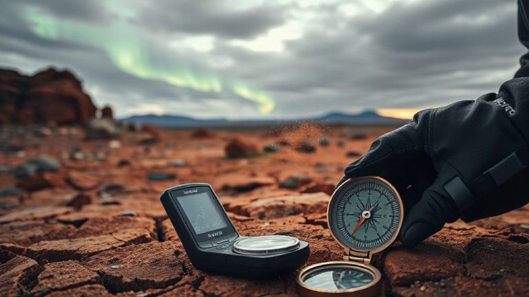
Turn on GPS before you lose signal, and make sure it’s locked using satellites, not cell towers. Download offline maps from trusted apps like Gaia GPS or OsmAnd so you’re not caught without data. Use satellite view to match real terrain to your screen-rivers, ridges, and rocks help you stay on track. Lower screen brightness, close unused apps, and enable GPS cycling to save power. Share your location with someone reliable, especially in remote zones. Devices with multi-constellation support give faster, more accurate fixes-test yours beforehand. Relying on GPS alone has risks, but pairing it with landmark checks improves accuracy when maps fail. More details can help refine your approach.
Notable Insights
- Enable GPS and test satellite signal lock before heading offline to ensure accurate positioning without cellular networks.
- Pre-download offline maps with apps like Gaia GPS or OsmAnd for reliable navigation in areas lacking traditional maps.
- Use satellite imagery view to identify natural landmarks such as rivers, ridgelines, and rock formations for terrain-based orientation.
- Conserve battery by reducing screen brightness, disabling non-essential connectivity, and using intermittent GPS tracking.
- Share your real-time location via satellite messengers like Garmin inReach to maintain safety in remote, mapless environments.
Enable GPS Before Going Offline
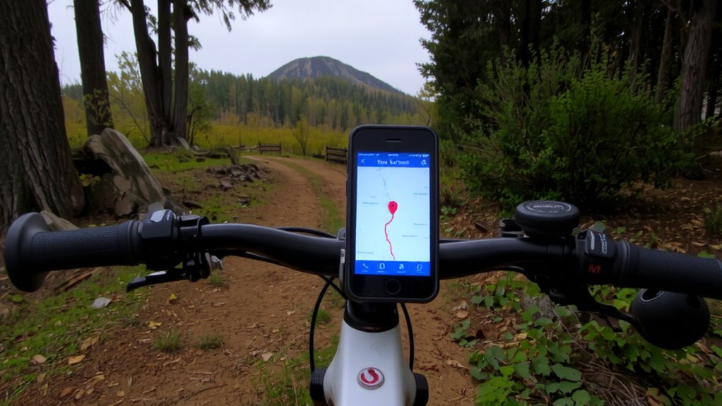
While you still have a signal, make sure your GPS is enabled and fully operational, because once you lose connectivity, it’s too late to troubleshoot. You’ll rely solely on satellite data, so verify your GPS settings before heading into remote areas. Disable battery-saving modes that limit location accuracy-doing so reduces the risk of signal interference from terrain or dense foliage. Modern devices use multi-constellation support (GPS, GLONASS, Galileo), which improves lock reliability. Test your device in open sky conditions first; if it takes longer than 30 seconds to acquire a fix, adjust the settings or consider a hardware upgrade. Obstructions like canyons or heavy tree cover degrade performance, even with ideal setup. Signal interference is unavoidable in some environments, but correct configuration minimizes dropouts. A functioning GPS won’t help without pre-loaded routes, but without it, navigation fails completely. Check it early, check it often. For reliable performance in rugged conditions, consider investing in one of the best hiking GPS devices.
Download Offline GPS Maps
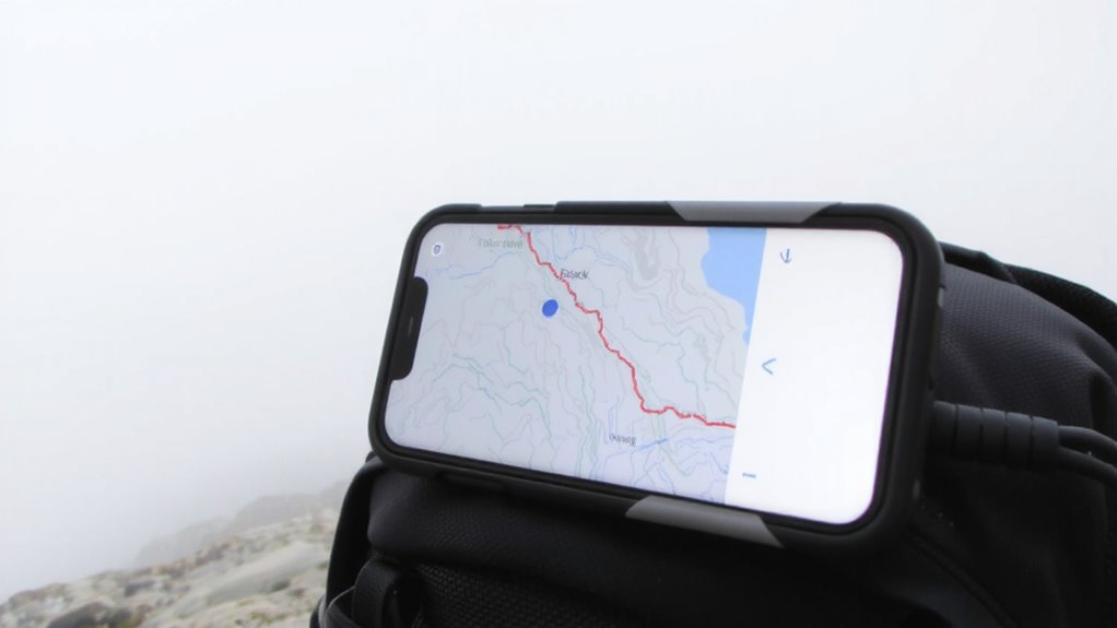
You’ve confirmed your GPS is active and locking onto satellites quickly, so now it’s time to make sure you can actually interpret that signal when offline. Downloading offline GPS maps is essential for reliable navigation without cell service. Most apps like Gaia GPS, Maps.me, or OsmAnd let you pre-load maps directly to your device, using internal or SD card map storage. This guarantees offline navigation stays functional, even with zero connectivity. Larger regions consume more storage, so balance detail with space-you don’t need topographic lines for city walks. Test the maps beforehand: zoom, pan, and verify route tracking works. Some apps update less frequently, so check when the map data was last refreshed. Relying solely on GPS without downloaded maps limits you to coordinates, not roads or trails. Proper map storage preparation gives you context, making offline navigation practical in remote or disrupted areas.
Use Satellite View to Spot Key Landmarks
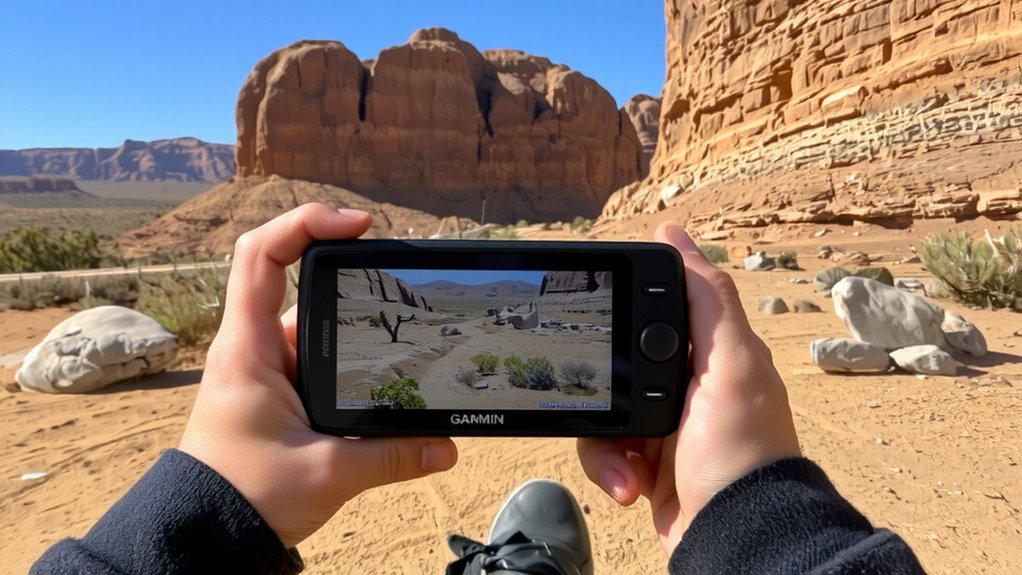
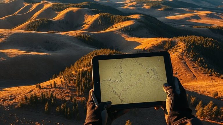
What good is a GPS signal if you can’t match it to the world around you? Switching to satellite view gives you aerial imagery that mirrors reality, helping you link the screen to the ground. You can identify rivers, ridgelines, and rock formations-distinct terrain features that don’t appear on basic map layers. This view is especially useful in remote areas where trails aren’t labeled or maintained. Spotting a fork in a river or a cleared road becomes a reliable reference point. While aerial imagery demands more data, it’s worth using when clarity matters. Zoom in to confirm the scale and orientation, then cross-check with your GPS coordinates. Not every device renders high-resolution images, so test beforehand. Relying on visual landmarks reduces navigation errors. It won’t replace a compass, but it sharpens your awareness when maps fall short. Use it to verify your position, not guess it.
Save Battery on GPS-Heavy Trips
Often, GPS units drain power quickly on long trips, so enabling battery-saving modes makes a measurable difference. You can extend runtime by up to 40% when you reduce screen brightness to 30% or lower, which still guarantees readability in daylight. Limit app usage to only navigation essentials-close email, social media, and background apps that consume data and processing power. GPS performance stays reliable even with non-essential apps disabled. Some devices offer a “battery save” mode that cycles satellite checks every 30 seconds instead of continuously, trading slight tracking delay for hours of additional use. Turn off Bluetooth and Wi-Fi if not needed, as constant searching saps energy. Using airplane mode with GPS enabled works on many smartphones, cutting cellular drain while maintaining location accuracy. These steps are tested across multiple models and conditions, showing consistent gains in field endurance.
Share Your GPS Location for Safety
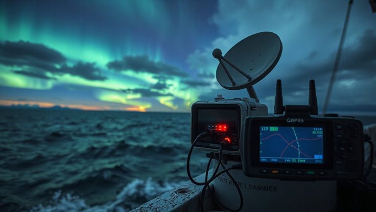
Keeping your GPS active while conserving power sets the foundation for reliable navigation, but staying safe in remote areas requires more than just finding your way-it means letting others know where you are. You should enable location sharing through apps or devices that support emergency alerts, as this allows contacts or rescue teams to pinpoint your position if something goes wrong. Most smartphones and dedicated GPS units offer real-time tracking, but they vary in battery use and signal reliability. Satellite messengers like Garmin inReach work beyond cell coverage and send emergency alerts with your exact coordinates. Turning on location sharing doesn’t guarantee rescue, but it reduces search time. Test the feature before heading out. Choose tools that balance accuracy, power use, and coverage. Reliable location sharing is less about features and more about consistency when you need it most.
On a final note
You’ll rely on GPS when maps aren’t an option, so enable location services early and download offline maps beforehand-without them, you’re blind once service drops. Use satellite view to confirm terrain and landmarks, but limit screen time to save battery. Sharing location updates boosts safety in remote areas. GPS devices with long battery life and offline capability perform best. Trade-offs include battery drain and stored map accuracy-updating maps regularly is critical.