Using GPS Accuracy Indicators to Assess Reliability in Dense Jungle Canopy
You’ll lose GPS accuracy under jungle canopy because thick foliage blocks signals, often leaving fewer than four satellites and causing errors over 30 meters. Check HDOP-values above 4 mean poor reliability-and watch signal strength; below 35 dB-Hz, expect big errors. More satellites improve accuracy, but multipath bounce off trees can still skew results. Trust your compass and terrain alignment when the GPS wavers. Knowing these signs keeps you from relying on a broken fix. There’s more to watch when every meter counts.
Notable Insights
- Dense jungle canopy blocks GPS signals, often reducing satellite counts below four and causing position errors over 30 meters.
- HDOP values above 4 indicate poor satellite geometry and unreliable positioning, especially under heavy foliage.
- Monitor signal strength: readings below 35 dB-Hz suggest weak signals and likely accuracy degradation.
- Track the number of visible satellites-fewer than four means no valid fix, while ten or more improve accuracy and reliability.
- Cross-check GPS positions with a compass and terrain features to detect multipath errors or unstable fixes.
How Jungle Canopy Breaks GPS Signals
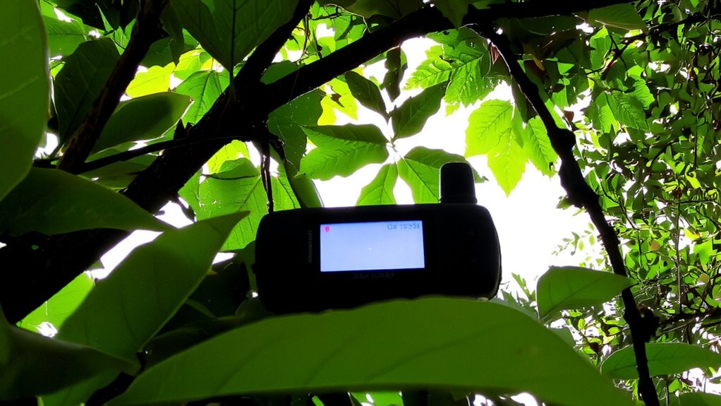
You’ve probably noticed your GPS acting up when hiking under thick jungle canopy, and there’s a simple reason: the dense overhead foliage blocks and scatters the satellite signals your device needs. Signal attenuation increases markedly under high canopy density, reducing the number of satellites your receiver can lock onto. Thick layers of leaves, branches, and moisture absorb and deflect GPS signals, weakening them before they reach your device. The higher the canopy density, the worse the signal attenuation becomes. You’ll often see fewer than four satellites tracked, which is the minimum needed for accurate positioning. This leads to slow fixes, lost signals, or position errors exceeding 30 meters. Devices with high-sensitivity chips perform better but can’t fully overcome the physical limits of signal blockage. In practice, expect degraded performance or total signal loss under closed canopies, especially in tropical rainforests where canopy density is at its peak.
What HDOP Tells You About GPS Reliability
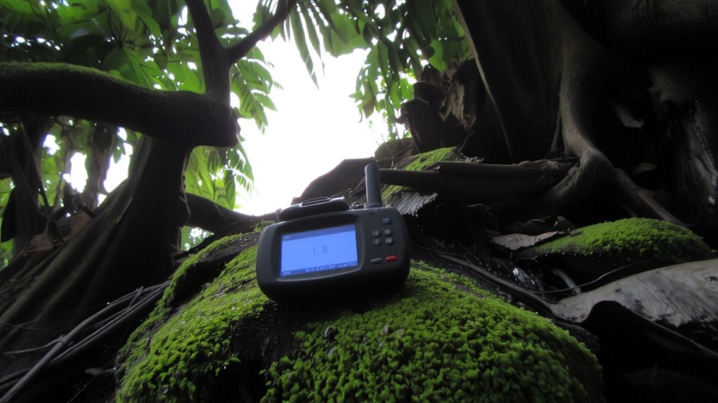
Why does your GPS sometimes show you hundreds of meters off track under tree cover? Because dense canopy causes signal degradation and multipath interference, weakening satellite signals and bouncing them off leaves and trunks. That’s where HDOP-Horizontal Dilution of Precision-comes in. It tells you how geometry affects accuracy. When satellites are clustered, HDOP rises, reducing reliability. Under jungle cover, you’ll often see HDOP values above 4, meaning errors can exceed 20 meters. A reading below 2 is ideal; above 6, don’t trust your position. HDOP won’t fix weak signals, but it helps you decide when to rely on your GPS. High HDOP plus poor sky view means degraded performance. You’re not seeing ghosts-your device is fighting physics. Check HDOP before traversing tight trails. It’s not perfect, but it’s a real-world indicator of trustworthiness when every meter counts.
Read Signal Strength for Real-Time Accuracy
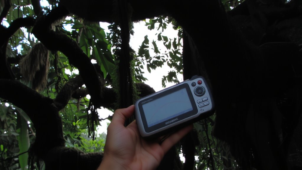
How much can you trust your position when the sky’s blocked? In dense jungle, signal strength readings give you real-time clues about GPS accuracy. You’re dealing with signal degradation as trees absorb and scatter satellite signals. Lower signal strength usually means reduced precision. Check your device’s signal bars or SNR values-consistently weak readings suggest unreliable fixes. Atmospheric interference, like ionospheric delays, adds small errors, but under canopy, it’s the blocked line-of-sight that hurts most. Strong signals from multiple directions help, but when they drop below 35 dB-Hz, expect meter-level errors or worse. Devices with high-sensitivity receivers handle this better, but they can’t overcome complete blockage. Use signal strength to decide when to move for better sky view. It’s not perfect, but monitoring it helps you gauge trust in your position moment to moment.
Why Satellite Count Affects GPS Performance
Even though GPS relies on signals from space, the number of satellites your device can lock onto makes a real difference in accuracy, especially under heavy canopy. The fewer satellites you have, the harder it is to get a reliable fix. Signal interference from dense foliage often blocks weak signals, leaving you with limited connections. Good satellite geometry spreads satellites across the sky, improving position accuracy. Poor geometry, like having all satellites clustered in one area, increases error. Here’s how satellite count impacts performance:
| Satellites | Accuracy (m) | Effect on Geometry |
|---|---|---|
| <4 | >30 | Unusable |
| 4–6 | 5–15 | Marginal |
| 7–9 | 3–8 | Good |
| 10+ | 2–5 | Best |
More satellites improve geometry and reduce signal interference effects, giving you a trustworthy location even in tough conditions.
How to Read GPS Accuracy in Critical Moments
When the canopy closes in and your route disappears, you’ll need to check your GPS accuracy before making a move-ignoring it could mean walking in circles. Your device’s reported accuracy, usually in meters, reflects confidence in position, but don’t trust it blindly. Signal delay from atmospheric interference worsens under heavy foliage, stretching timing errors. Multipath error-signals bouncing off wet trunks or slopes before reaching your receiver-skews position even more. You might see accuracy degrade from 3m to 10m or worse without notice. Watch for sudden jumps in position or widening error estimates; these indicate unstable fixes. If satellite count drops while accuracy degrades, trust the system less. In critical moments, move slightly to open ground, wait 30 seconds, and let the GPS reacquire. Real-world testing shows this reduces multipath error and improves time-to-fix by up to 40%. For consistent performance in extreme terrain, consider carrying one of the best GPS devices for hiking, which are designed to maintain accuracy in challenging conditions like dense canopy. best GPS devices for hiking
Verify GPS With Compass and Terrain Checks
You’ve checked your GPS accuracy and seen the number climb as the canopy thickens, but that reading alone won’t tell you if you’re on track. You need to verify your position with a compass and terrain checks. Start by adjusting for magnetic declination-failing to account for it means your bearing could be off by over 10 degrees, leading you miles astray. Align your compass with visible terrain features and compare them to your GPS route. Check for landmark alignment: match ridgelines, river bends, or prominent trees seen both on the map and in front of you. When the GPS signal drops, these ground-truth methods keep you oriented. A compass doesn’t rely on satellites, and terrain doesn’t change. Together, they offer a reliable cross-check. In dense jungle, where signals fade and errors grow, combining tools improves accuracy without adding weight or complexity to your pack. For consistent results, choose a reliable tool like a baseplate compass, which is durable, easy to read, and ideal for navigation in challenging environments.
Use Devices That Show Real-Time Accuracy
If your GPS shows a position but not the margin of error, you’re traveling blind. In dense jungle canopy, real-time accuracy indicators are essential because signal interference from thick foliage can degrade reception fast. You need a device that constantly displays estimated position error-some show it in meters, others with a confidence ring. This feedback lets you judge reliability on the move. Device selection isn’t about features; it’s about trustworthy output when the environment blocks satellites. Units with multi-constellation support (GPS, GLONASS, Galileo) often maintain better accuracy under canopy, but only if they update accuracy in real time. A device ignoring signal interference may plot a point, but without knowing the margin, that point could be off by 30 meters or more. Always pick tools that show you how wrong they might be-because in thick jungle, knowing uncertainty is half the battle.
On a final note
You can’t trust jungle GPS without checking HDOP and signal strength first. A low satellite count means poor fixes, and dense canopy worsens it. High HDOP values-above 6-are unreliable. Devices showing real-time accuracy help, but always verify with compass bearings and terrain features. Accuracy claims often assume open sky; under canopy, expect 10–30 meter errors. Use topographic maps alongside GPS. Some units perform better, but none work flawlessly. Know the limits.