Navigating by Celestial Bodies: Essential Skills for Finding Direction Without Modern Tools
You can find direction using the sun by noting the shortest shadow at solar noon, which points north in the Northern Hemisphere. At night, locate Polaris by extending a line five times the distance between the Big Dipper’s pointer stars. In the Southern Hemisphere, use the Southern Cross and extend its axis 4.5 times downward to find south. The moon’s illuminated side faces west when waxing and east when waning, and tracking its shadow shift helps confirm east. Matching celestial cues with terrain features improves accuracy, especially when skies are partly obscured-there’s more to applying these methods consistently under real conditions.
Notable Insights
- Use the shadow stick method to find true north by marking the shortest shadow at solar noon.
- Locate Polaris at night by extending a line five times the distance between the Big Dipper’s pointer stars.
- Find true south using the Southern Cross by extending a line 4.5 times its length downward from base to top.
- Observe the moon’s illuminated side: west-facing when waxing, east-facing when waning, to estimate direction.
- Align celestial movements with terrain features like ridges or peaks to create reliable directional references.
Use the Sun to Navigate During the Day
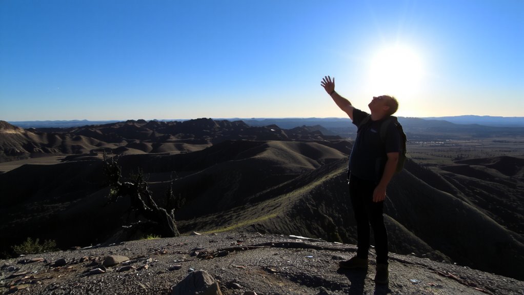
While the sun’s position changes throughout the day, you can still use it to get a rough sense of direction if you know what to look for. In the Northern Hemisphere, the sun is due south at solar noon, casting its shortest shadow. You can estimate this time without a watch by using the shadow stick method. Drive a straight stick into level ground, mark the tip of its shadow, wait 15–30 minutes, then mark the new shadow tip. A line between the two points runs approximately east-west, with the first mark being west. The midpoint between the marks, aligned with the stick, points north. Solar noon varies by location and daylight saving time, so local accuracy depends on your awareness of time and position. This method isn’t precise but gives a usable bearing when no tools are available. Performance declines near equatorial or polar regions.
Find North With the North Star
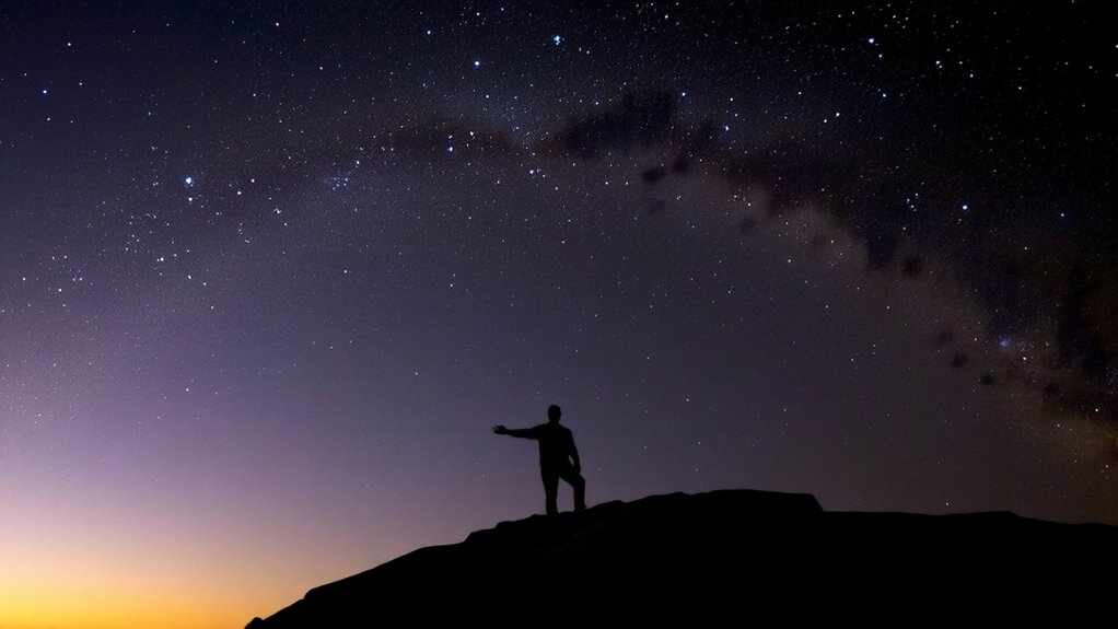
The North Star, or Polaris, is your best bet for finding true north at night in the Northern Hemisphere. It sits almost directly above Earth’s north pole, making it stable while other stars appear to move due to celestial rotation. You won’t see it rotate much, so it’s a reliable fixed point. To find it, locate the Big Dipper-one of the most recognizable star patterns-then follow the two pointer stars at the edge of its bowl. Draw an imaginary line about five times their distance, and it leads straight to Polaris. It’s not the brightest star, but its position matters most. Unlike methods relying on shifting star patterns, Polaris gives consistent directional reference. This method works year-round as long as you have a clear northern horizon. It’s simple, doesn’t require tools, and fails only under heavy cloud cover or light pollution. For backup navigation in low visibility, carrying a reliable best compass for hiking can ensure you stay on course when celestial cues are obscured.
Locate South Using Southern Hemisphere Stars
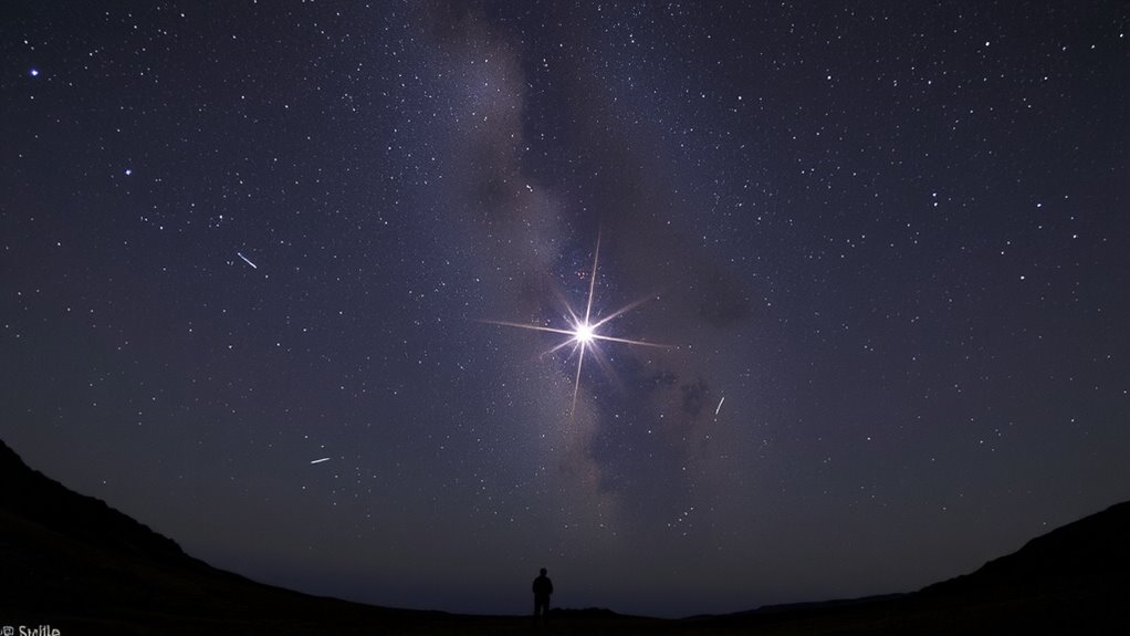
How do you find your way when there’s no North Star in the Southern Hemisphere? You rely on the Southern Cross. Identify the Southern Cross alignment by locating its four bright stars in a tilted cross. Draw an imaginary line from the top star to the bottom, then extend it 4.5 times its length downward. The point where it ends is close to true south. For better accuracy, use the Magellanic Clouds as a reference; they lie on either side of the Milky Way and help confirm the cross’s position. The Southern Cross stays upright and rotates clockwise, so check its angle over time. Unlike the North Star, it doesn’t sit directly on the pole, but its alignment gives a consistent southward direction. Combine this with landscape awareness for reliable orientation. It’s dependable under clear skies, but obscured clouds reduce precision. Practice improves accuracy.
Navigate by the Moon’s Phases and Shadows
You’ve used the Southern Cross to find south when the sky’s clear, but what do you do when the stars are hidden and the moon takes its place? The moon’s phases and shadow angles offer a reliable backup. A waxing moon illuminates the west; a waning one, the east. During lunar eclipses, the Earth’s shadow reveals directional cues-darkness sweeps from east to west. Use a stick to cast a shadow under moonlight; track its movement over 15 minutes. The shift indicates east. Shadow angles change with lunar position, just as with the sun, though they’re fainter and require patience.
| Moon Phase | Direction Faced |
|---|---|
| Waxing | West |
| Full | South (near midnight) |
| Waning | East |
Lunar eclipses and shadow angles both confirm east-west alignment when precision matters.
Combine Sky Signs With Natural Landmarks
Why rely on the sky alone when the land itself holds clues? You can sharpen your navigation by pairing celestial patterns with terrain correlation. Notice how the sun rises behind a ridge or sets between two peaks-those alignments repeat daily, giving you reliable reference points. At night, match star positions to prominent landscape features, like a lone tree or valley bend, so you maintain direction even when clouds obscure the sky. This method isn’t foolproof-terrain can distort sightlines-but it reduces error over long distances. Use bright stars or the moon as overhead markers, then confirm your path with ground features visible at dawn or dusk. Combining sky and land cues increases accuracy, especially in dense forest or rolling hills where landmarks repeat. You’ll move slower at first, but the trade-off is fewer mistakes. Practice in daylight to build mental maps that work at night. A reliable backup to celestial and terrain navigation is carrying one of the best survival compasses, ensuring accurate orientation when visibility is low or landmarks are scarce.
On a final note
You can rely on celestial navigation when tools fail. The sun’s arc gives east-west; the North Star marks true north; southern stars like the Southern Cross guide south. Moon phases and shadows offer rough direction, but less precision. Combine sky cues with terrain features like ridgelines or water flow to confirm your path. It’s slow and requires practice, but it works. Accuracy depends on clear skies and basic knowledge-no gadgets needed, just observation.