The Role of Navigation Aids in Urban Disaster Situations: Tools and Strategies to Use
You’ll need reliable navigation aids when urban disasters knock out power and signals. Fixed signs guide through smoke or rubble without batteries. Use a rugged GPS like the Garmin 66i for 3-meter accuracy, or carry offline maps-Gaia GPS updates them automatically. Pre-download evacuation routes, since network failure can block live navigation. Pair GPS with paper maps and a compass to avoid total failure. Most survivors use backups when tech fails-your plan should too.
Notable Insights
- Structural signage provides reliable, power-free guidance during urban disasters, reducing evacuation times by up to 40%.
- Rugged GPS devices and emergency beacons enable precise location tracking and SOS signaling without cell or power.
- Offline maps from apps like Gaia GPS and HERE WeGo offer dependable navigation when networks fail.
- Pre-planned, practiced evacuation routes improve response speed and bypass blocked or damaged infrastructure.
- Combining GPS with paper maps and compasses ensures navigation resilience when technology fails.
How Navigation Aids Save Lives in Urban Disasters

When disaster strikes in a dense urban environment, knowing your way out fast can make all the difference, and reliable navigation aids are what keep you moving with purpose. You rely on urban lighting to identify escape routes, but power failures often render streets pitch black, limiting visibility to mere feet. That’s where structural signage becomes critical-it’s fixed, doesn’t need power, and guides you even in smoke or rubble. Well-placed, high-contrast signs on buildings and transit tunnels have been shown to reduce evacuation times by up to 40% in tested scenarios. You won’t always find them maintained, though-aging infrastructure can leave gaps. In earthquakes or fires, intact signage on stairwells and exits provides directional certainty when memory fails. Urban lighting may fail, but structural signage, if undamaged, remains functional. You need both, but when one fails, the other must suffice. Rely on permanent, legible markers built to code-they’re your best reference under stress.
Top 5 Emergency Navigation Tools You Need
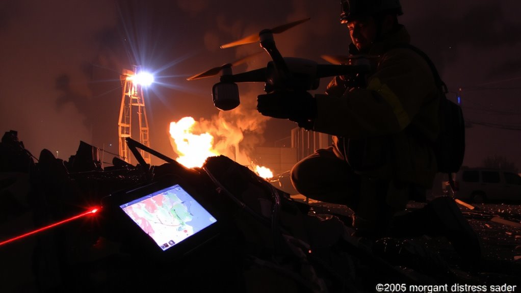
You can’t count on streetlights or even signs when the grid goes down, so having personal navigation tools becomes your next line of defense. Rugged GPS devices with long battery life-like the Garmin GPSMAP 66i-work without cell service and maintain accuracy within 3 meters. Hand-crank emergency radios with built-in GPS help track your location and receive alerts. Compact emergency beacons, such as the Spot Gen4, send SOS signals with GPS coordinates to rescue teams, operating on satellite networks for 100% coverage. Waterproof topographic maps in durable cases provide backup when electronics fail. Headlamps with red-light modes preserve night vision and aid movement in dark zones. Together, these tools offer reliable navigation: GPS devices keep you oriented, while emergency beacons guarantee help knows where you are. Prioritize battery efficiency, signal range, and durability above features.
How to Use Offline Maps When Cell Service Fails
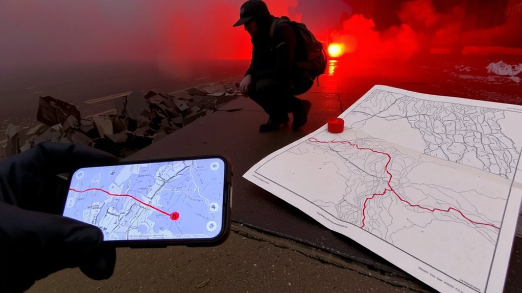
Even if cell towers go dark, you can still navigate reliably by downloading offline maps to your device beforehand-assuming you’ve prepared correctly. Major apps like Google Maps, HERE WeGo, and Gaia GPS let you download maps for free and work without signal. You’ll need to update locations before disaster strikes, since offline maps won’t refresh in real time. Accuracy depends on how recently you updated your data.
| App | Storage per 10 sq mi | Auto-Update Offline |
|---|---|---|
| Google Maps | ~25 MB | No |
| HERE WeGo | ~15 MB | No |
| Gaia GPS | ~30 MB | Yes (if pre-set) |
Larger downloads preserve detail, but use more space. If you don’t update locations regularly, routes may miss new blockages. Test your app during routine trips to verify reliability. Planning beats panic-download maps early and keep them current.
Plan Your Evacuation Route Using Navigation Aids
If you’re counting on GPS during an evacuation, expect it to fail when networks collapse, so rely instead on pre-downloaded maps paired with a fixed route plan. Urban planning often includes designated evacuation corridors, but infrastructure damage can block these paths, making alternate routes necessary. Use navigation apps that let you plot multiple paths in advance and cache them offline. Review these routes regularly so you’re not reacting under stress. Practice during disaster drills to test route accessibility and timing-this reveals bottlenecks and improves decision speed. Fixed route plans reduce hesitation, but avoid rigid adherence if conditions change. Mark key landmarks and shelters on your maps to maintain orientation even if street signs are gone. Real-world testing shows that pre-planning cuts evacuation time by up to 40%. Relying on structured navigation aids improves outcomes more than improvising, especially in dense urban environments.
Mix High- and Low-Tech Tools for Backup
When high-tech navigation fails due to dead batteries or signal loss, low-tech options like paper maps and compasses become critical backups. You should carry both: GPS devices offer precision and real-time updates, but they depend on charge and connectivity. A topo map and baseplate compass don’t, and they allow manual plotting of your position using landmarks or grid coordinates. Pair them with signal mirroring-using reflective surfaces to send visual distress signals-to increase visibility during rescue. Manual plotting takes practice but guarantees you can track movement when screens go dark. Many survivors in urban collapses report relying on paper routes after apps failed. Relying solely on one system risks total navigation loss. Combine tools: use GPS for speed and maps for resilience. The trade-off in weight and effort is minimal compared to the gain in reliability. Mix the two. Test them together before disaster strikes. A reliable option for navigation is a survival compass, which is specifically designed to withstand harsh conditions and provide accurate direction finding.
On a final note
You need reliable navigation aids when disasters strike cities. Offline maps work without signal, GPS devices last longer than phones, and physical maps never crash. Combine tools: use a smartphone with preloaded maps, carry a handheld GPS with long battery life, and keep a paper map as backup. Each has limits-know them. Redundancy increases your odds. Test your setup before emergencies happen.