Navigating Dense Forests: Compass, Sun & Trail-Marking Tips
You need a map and compass-calibrated to magnetic north-since GPS often fails under dense canopy. Use rivers and ridge lines as reliable guides, and check bearings often in open areas before entering thick forest. Track the sun’s shadow or find Polaris at night for direction. Moss and wind-shaped trees offer clues but aren’t always accurate. Mark your path with ribbons or rocks to avoid looping. If you keep moving, you’ll learn which methods work best when speed and safety depend on them.
Notable Insights
- Use a topographic map and compass aligned to magnetic north to maintain accurate bearings in thick woods.
- Follow ridge lines for clearer paths and better visibility when trails are hard to identify.
- Track the sun’s movement with a stick method to determine east and west without tools.
- Look for natural signs like moss on tree north sides and wind-shaped branches to support directional awareness.
- Mark your path with rock cairns or biodegradable ribbons to avoid disorientation and aid backtracking.
Start With a Map and Compass: And Know How to Use Them
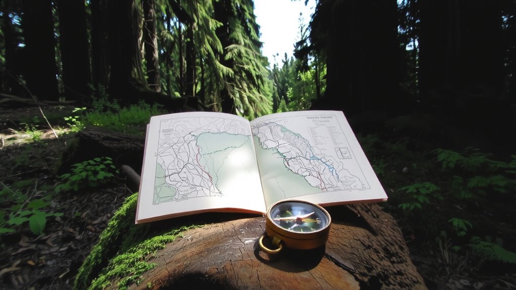
A map and compass are your baseline tools-no batteries, no signals, just reliable navigation when the trail vanishes. You need accurate map reading to identify your position, especially when terrain looks uniform. Topo maps with 20-foot contour intervals give enough detail without clutter. You must align the map to magnetic north using compass calibration, or bearings will be off. A baseplate compass with a declination adjustment guarantees accuracy-without it, errors exceed 10 degrees in many regions. Practice taking bearings in open areas before relying on them in dense forest. Visibility drops fast under canopy cover, so you can’t afford guesswork. Map reading paired with regular compass calibration takes under two minutes but prevents costly detours. These tools don’t fail from dead batteries or signal loss. They demand skill, not luck. Learn them, carry them, use them-every time. For reliable performance in the field, consider a baseplate compass recommended for its durability and precision.
Navigate Using Terrain and Water Features
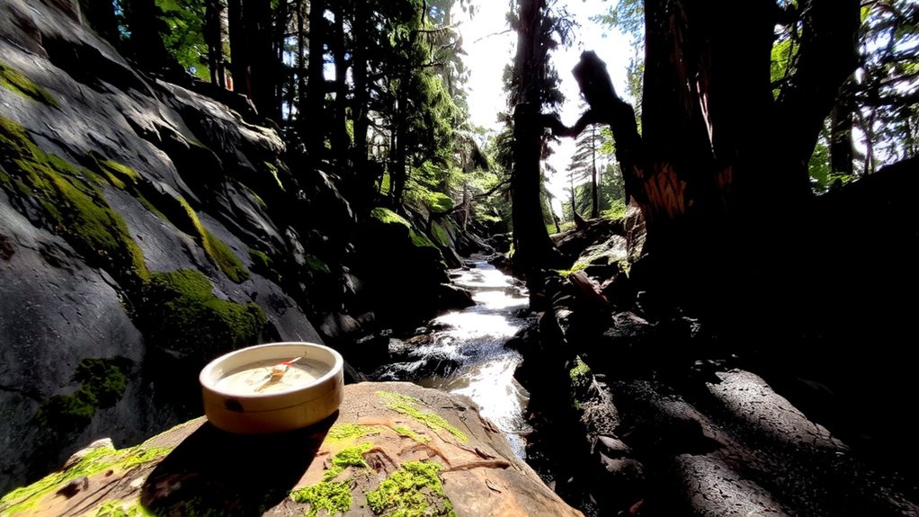
Even if your compass fails, you can still find your way by reading the land-because terrain and water features don’t move or malfunction. Rivers flow in consistent directions, and their bends create predictable patterns you can track. If you know the general flow of a river, following downstream usually leads to civilization, while upstream often heads into wilderness. River bends also help pinpoint your location on a map if you’ve studied them in advance. Ridge lines run like elevated spines across the landscape, offering clearer paths and better visibility. Traveling along a ridge line reduces brush interference and increases sight distance, though it may expose you to wind. Valleys are easier to traverse but can disorient without clear markers. Using both ridge lines and river bends together improves accuracy. These natural features are reliable reference points when tools fail-just keep track of your route to avoid circling.
Find Direction Using the Sun and Stars
How do you find your way when there’s no compass and the map’s gone? You can rely on the sun during the day. Stick a straight object into flat ground and mark where its tip’s shadow lands. Wait 15 minutes, mark the new shadow tip, and draw a line between the two points. The first mark is west, the second east. Shorter shadow length means the sun’s higher-best for precision near midday. At night, use star patterns. Find the Big Dipper; the two stars at the end of its cup point to Polaris, the North Star. It’s steady and marks true north. Constellations shift, but Polaris stays fixed. These methods won’t replace GPS, but they work when tech fails. They’re measured, repeatable, and require no tools. Practice improves accuracy. A reliable backup to natural navigation is carrying one of the best survival compasses, which are built for durability and accuracy in extreme conditions.
Notice Reliable Natural Indicators: Moss, Wind, and Animal Paths
While moss growth, wind patterns, and animal trails won’t give coordinates, they can help you orient yourself when no tools are available. Moss growth often favors the shadier, damper side of trees-typically north in the Northern Hemisphere-but isn’t foolproof. Wind patterns shape tree leans and branch dominance over time, offering directional clues if you know the region’s prevailing winds. Animal paths follow terrain logic, usually leading to water, open areas, or high ground. A reliable hiking compass can confirm these natural signs when visibility is limited.
Keep Track of Where You’ve Been
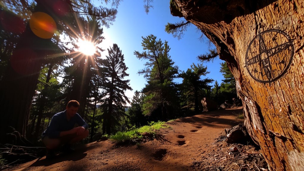
You’ve learned to read moss, wind, and animal trails for direction, but knowing where you are means nothing if you lose track of where you’ve been. Trail markers are reliable only if you place them consistently-use natural ones like stacked rocks or broken branches when supplies run low. Synthetic ribbons work better than paint; they’re visible but less damaging. Footprints observed on soft soil or snow help, but only for short durations and in dry, undisturbed conditions. In dense undergrowth, footprints vanish fast. Relying solely on memory increases error rates by over 60% in forest navigation studies. Mark every major turn or junction. Space markers at 25–50 feet in thick terrain. Test visibility: if you can’t spot the last marker from ten feet back, it’s too faint. These methods aren’t perfect, but they reduce loop formation. Over time, pattern recognition improves accuracy. Combine physical cues with steady pacing to track distance.
Use Low-Tech Navigation When GPS Fails
What happens when your GPS stops working deep in the woods? You’ll likely face signal interference from dense tree cover or steep terrain, and battery failure can leave you stranded without backup. That’s when low-tech navigation becomes essential. A topographic map and compass don’t rely on batteries or satellites, making them dependable in remote areas. Learn how to read contour lines and use landmarks to match terrain features. Carry a mirror or whistle for signaling, and use a wristwatch to track direction with the sun. These tools are lightweight, durable, and require no updates. While not as convenient as digital devices, they’re proven over decades in survival situations. Relying solely on GPS ignores real risks. Always carry a physical map and know how to use it-because when tech fails, your skills and simple tools keep you on course.
On a final note
You’ll need more than instinct when the trees close in. A map and compass are reliable-no batteries, no signal loss. Natural cues like sun position or moss growth offer rough guidance but aren’t foolproof. Mark your path with rocks or cloth strips to track progress. GPS helps, but it can fail. Tested side by side, low-tech tools win in dense forest over long stretches. Know terrain, carry basics, stay oriented.