Creating Digital Survival Route Cards With Estimated Times
Pick a route-planning app like Gaia GPS or Avenza that gives accurate ETAs and works offline, because real backcountry use demands terrain-aware routing and reliable GPS sync. Mark trailheads (🏁), water (💧), and hazards (⚠) with clear labels. Adjust hiking times for steep or rough terrain and your group’s slowest member. Build your survival route card with elevation, waypoints, and time estimates, then enable real-time sharing via satellite devices to keep contacts updated-smart planning means knowing what comes next.
Notable Insights
- Use GPS apps like Gaia GPS or Avenza to build route cards with labeled waypoints and topographic details.
- Include elevation changes, water sources, and hazards to enhance navigation and safety planning.
- Estimate travel times based on terrain difficulty and the slowest hiker’s pace for accuracy.
- Enable offline access to ensure the route card remains usable without cell or internet connectivity.
- Share the route with estimated arrival times and real-time tracking for emergency preparedness.
Start With the Right App for Your Route
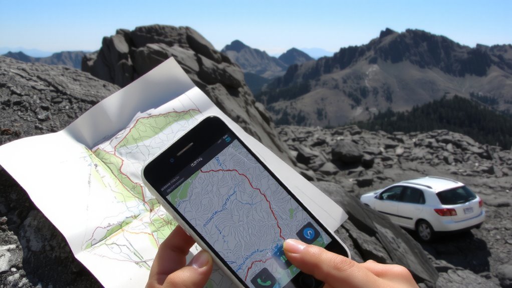
A reliable route-planning app can make or break your digital survival strategy, so pick one built for real-world conditions. Your app selection determines whether you get accurate ETAs, offline access, and terrain-aware paths. Not all apps handle spotty signals or sudden detours equally. Some prioritize speed over elevation data, which can skew time estimates in rugged areas. For effective route planning, choose apps tested in low-connectivity environments and those that sync with GPS devices. Look for features like battery efficiency, customizable layers (e.g., topographic, weather overlays), and proven performance across different climates. Avoid apps that rely solely on cellular data-real survival scenarios rarely guarantee a strong signal. Instead, favor those with downloadable maps and minimal lag in recalculating routes. Your survival depends on consistency, not flash. Pick tools verified in field tests, not marketing.
Map Waypoints and Hazards Accurately
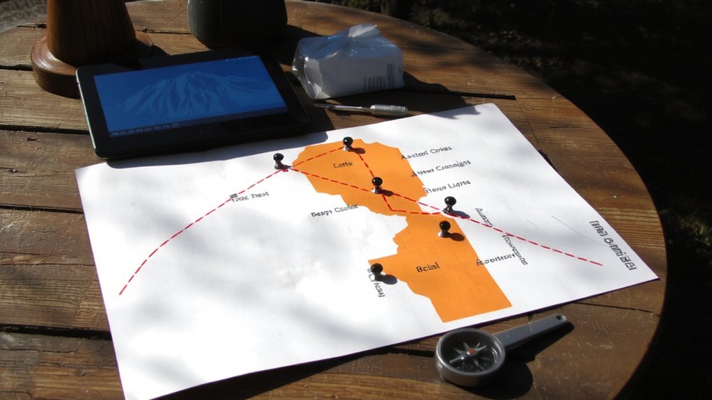
You’ve picked an app that works when the signal drops and routes adjust without draining your battery, so now it’s time to put that tool to real use by marking where you are and what you’ll face. Accurate waypoint placement enables precise navigation, letting you track progress and stay oriented. Pair this with consistent hazard mapping to flag risks early-think steep drops, river crossings, or avalanche zones. Use descriptive names and standardized icons so they’re clear at a glance.
| Waypoint Type | Symbol Used | Purpose |
|---|---|---|
| Trailhead | 🏁 | Start point for precise navigation |
| Water Source | 💧 | Critical resupply |
| Cliff Edge | ⚠ | Hazard mapping priority |
| Campsite | ⛺ | Overnight safety |
Mark every key point before you move. It’s not about volume-it’s about relevance and clarity. Your route card becomes a live reference, not clutter.
Estimate Hiking Time by Terrain and Ability
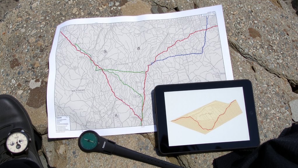
While terrain and fitness level directly impact how fast you’ll move, don’t assume average trail speeds apply to your hike-steep ascents, loose scree, or thick forest cut pace by 30–50% compared to flat, open ground. Your physical fitness determines how well you sustain speed over elevation gain, but even fit hikers slow on rugged descents. Trail difficulty isn’t just about distance; a moderate 5-mile trail with 1,500 feet of gain can take twice as long as an easy 7-miler on flat terrain. Use real-world pacing: most hikers move at 1.5–2 mph on moderate trails, slower on difficult ones. Adjust estimates based on your group’s slowest member. Overestimating time due to low physical fitness or high trail difficulty is safer than falling behind schedule. Factoring in rest stops and navigation checks adds realism. Accurate time estimates reduce risk, especially when daylight or weather constraints exist.
Build Your Digital Survival Route Card
Once you’ve nailed down how long a hike will actually take based on terrain and fitness, the next step is capturing that data in a format that’s reliable and accessible when conditions turn. You need a digital survival route card that includes key waypoints, elevation changes, water sources, and estimated arrival times. Use apps like Gaia GPS or Avenza to build your route design with clear, labeled segments. These tools let you overlay topographic maps and adjust paths based on real trail conditions. Always enable offline access so the route remains available without signal. Equally important is data backup-save your route to the cloud and download a local copy on a secondary device. If your phone dies, you’ll still have access. Test the file on different screens to guarantee readability. A well-built digital card isn’t just a map-it’s your timeline, plan, and safety net in one.
Share Your Route in Real Time
How do you guarantee someone knows your location if something goes wrong? You enable real time tracking through reliable GPS apps like Gaia GPS or AllTrails, which let trusted contacts follow your progress. These tools update your position every 5–10 seconds, depending on settings and battery use, so others see your exact location. Most support offline maps and work in remote areas. You also activate emergency alerts, which send your coordinates automatically if you trigger a distress signal. Some devices, like the Garmin inReach, use satellite networks, so you’re covered even without cell service. While real time tracking drains battery faster, you can extend life by adjusting the ping frequency. Bluetooth beacons offer shorter-range updates but conserve power. Sharing your route isn’t foolproof-service gaps happen-but pairing real time tracking with scheduled check-ins improves safety. It’s a practical layer, not a guarantee, but it increases response speed when seconds count.
On a final note
You save time and reduce risk by using tested apps like Gaia GPS or AllTrails to map accurate waypoints and hazards. Estimating travel time based on terrain and fitness improves planning reliability. Digital route cards with real-time sharing boost safety during remote hikes. Not all apps work offline, so download maps ahead. Battery life matters-carry a portable charger. Trade convenience for preparedness by verifying data before leaving. It’s practical, not optional.