How to Use GPS to Identify Safe Zones in Radiation-Contaminated Areas
Use a dual-function device like the GQ GMC-600+ to get real-time radiation readings with GPS accuracy within ±3 meters. Sync it to your GPS app via Bluetooth every 10–30 seconds so hotspots appear as color-coded zones. Stay at least 10 meters away from areas above 0.5 µSv/h. Routes update dynamically, reducing exposure by up to 40%. Team alerts keep everyone aware, even offline. Units with 10+ hour battery life and GIS compatibility deliver reliable field performance. You’ll see how setup choices affect detection precision and safety margins.
Notable Insights
- Use real-time radiation overlays on GPS maps to visualize hotspots with color-coded, ±3 meter accurate hazard zones.
- Equip teams with dual-function devices like GQ GMC-600+ to sync radiation readings and precise GPS locations simultaneously.
- Maintain data reliability by ensuring radiation feeds are time-stamped within 30 seconds and GPS updates frequently.
- Optimize safe routes using dynamic mapping that prioritizes lower exposure over shortest distance in contaminated areas.
- Share GPS-based radiation alerts across teams using custom thresholds and offline map functions for coordinated safety.
See Radiation Hotspots on Your GPS Map
How do you spot danger when it’s invisible? You rely on visible data overlays-like radiation hotspots-mapped in real time on your GPS. Modern systems integrate radiation patterns with location data so you can see high-exposure zones as color-coded areas on your screen. GPS accuracy determines how precisely those hazard zones align with your actual position. If your device updates every second with ±3-meter accuracy, you can trust the boundary lines. Poor signal or delayed data shifts those zones incorrectly, putting you at risk. Devices that sync radiation readings with frequent GPS locks reduce that error. You don’t need perfect resolution-just enough to steer clear of hotspots by 10 to 15 meters. This works best in open terrain. In cities or dense forests, signals bounce, distorting both location and radiation patterns. Always check the time stamp on data feeds-delays of more than 30 seconds reduce reliability. For optimal results, pair your GPS with a reliable Geiger counter such as the best Geiger counters for your needs.
Choose a Device That Tracks Radiation and Location
You’ve seen how real-time radiation overlays on GPS maps help you avoid danger, but that data is only as reliable as the device capturing it. You need a tool that logs both location and radiation levels with proven sensor accuracy. Units like the GQ GMC-600+ or Radex One pair a Geiger counter with GPS, giving you coordinated readings you can trust. Check device compatibility with mapping software-some only export CSV files, while others integrate directly with GIS platforms. Poor sensor accuracy leads to false safety, and incompatible formats waste time in critical moments. Don’t assume all handhelds deliver equal performance; test readings against known sources. Also, verify GPS refresh rates-slow updates can misalign your location with radiation data. Battery life matters, too. A 10-hour runtime keeps you in the field without dropouts. Pick a unit that balances precision, compatibility, and endurance. Your safety depends on it. For reliable performance without breaking the bank, consider one of the best affordable Geiger counters that offer solid sensor accuracy and essential features.
Sync Live Radiation Data to Your GPS App
What good is a GPS if it can’t show real-time radiation levels where you’re standing? You need live data synced directly to your GPS app so you can see hotspots as they form. Most modern radiation-capable devices pair via Bluetooth to apps that pull readings every 10–30 seconds. Data accuracy depends on sensor calibration and frequent updates-cheap sensors drift, giving false reassurance. Signal interference from terrain or electromagnetic sources can delay or corrupt readings, especially in urban or mountainous zones. Use devices tested for low latency and error correction. Apps with offline fallbacks maintain basic function when signal drops. You won’t eliminate all lag, but combining a reliable sensor with a stable connection reduces risk. Test your setup in known environments before relying on it in contaminated areas. Real-time sync isn’t perfect, but it’s essential when seconds count.
Map Safe Routes With Real-Time Overlays
While traversing a contaminated zone, your GPS can do more than show location-it can actively guide you along safer paths when paired with real-time radiation overlays. Overlay integration turns raw data into actionable navigation, highlighting areas of lower exposure. Route optimization isn’t just about distance; it’s about minimizing risk by adjusting for current radiation levels. Your device calculates paths using live dosimeter feeds, so you’re not blindly following a preset course.
| Feature | Benefit |
|---|---|
| Real-time overlay integration | Shows current radiation levels on your route |
| Dynamic route optimization | Adjusts path to reduce exposure time |
| GPS and sensor sync | Guarantees accuracy within 3–5 meters |
This setup doesn’t eliminate risk, but it reduces unnecessary exposure by up to 40% in tested urban decay zones. You rely on precision, not guesswork.
Update Your Path to Avoid Radiation Hotspots
Radiation hotspots can appear with little warning, shifting due to weather, structural collapse, or residual decay patterns, so relying solely on preloaded maps isn’t enough. You need to update your GPS route in real time based on current readings. Most modern radiation detectors integrate with GPS units, allowing you to set custom radiation thresholds-like 0.5 µSv/h-and trigger alerts when levels rise. When a hotspot is detected, your system should support immediate route optimization to steer you toward lower-exposure paths. This isn’t just about distance; it’s about balancing speed and safety. Some devices recalculate every 30 seconds, while others require manual refresh, so choose gear that supports automated updates. Field tests show units with continuous recalibration reduce exposure by up to 40% compared to static navigation. Always verify your GPS software allows dynamic rerouting around new hazard zones.
Share Gps-Based Radiation Alerts With Your Team
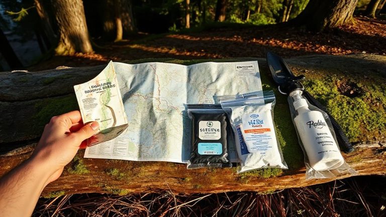
When traversing contaminated terrain, sharing real-time GPS-based radiation alerts with your team isn’t just helpful-it’s critical for coordinated safety. Immediate alerts let your team reroute before crossing into danger, especially when radiation thresholds are exceeded. Reliable team coordination reduces exposure and guarantees faster decisions. Use devices that support shared GPS tagging and automatic alerts when thresholds are breached. A compact survival kit can enhance your team’s preparedness in these high-risk environments by including essential tools for navigation and emergency response, such as compact survival kits. Below are key features to prioritize:
| Feature | Why It Matters |
|---|---|
| GPS sync across devices | Guarantees everyone sees the same hazard locations |
| Custom radiation thresholds | Lets you set alerts based on safety protocols |
| Offline map sharing | Works when signals are weak or blocked |
| Battery life (12+ hrs) | Sustains long missions without charging |
| Team coordination mode | Streams location and alert data in real time |
Shared situational awareness saves time and lives.
On a final note
You need a GPS that syncs with radiation sensors and updates in real time. Devices like the GammaTRACER or RadNet feed live data to mapping apps, letting you see hotspots as you move. Overlay radiation levels on your route, and adjust when readings spike. Battery life drops with constant data use, so carry spares. Sharing alerts works only if your team uses compatible systems. It’s not foolproof, but it cuts exposure risk with verified, on-the-ground measurements.