How to Use Satellite Devices to Receive Volcanic Activity Alerts
You can get volcanic activity alerts off-grid with satellite devices like the Garmin inReach Mini 2 or Zoleo Communicator. They pull real-time data from USGS and NOAA via the Iridium network, so you’re covered even without cell service. Set up alerts through the device’s safety menu and make certain your subscription includes two-way messaging for timely delivery. These systems detect eruptions using thermal imaging and gas emissions, offering reliable warnings. Immediate evacuation is critical when an alert hits-you’ll want to confirm the source and act fast. Key features like message confirmation and global coverage make a clear difference in high-risk zones. Choosing a device with fast signal acquisition and low latency makes certain you’re not caught waiting when every minute counts. More details on optimizing your setup are available for those focused on preparedness.
Notable Insights
- Choose a satellite device like Garmin inReach Mini 2 or Zoleo that supports real-time volcanic alerts via the Iridium network.
- Subscribe to a service plan with two-way messaging to ensure timely delivery of eruption warnings from sources like USGS or NOAA.
- Enable volcano alerts in your device’s safety settings and link it to hazard monitoring systems for automatic notifications.
- Test the alert function and satellite connection before traveling to remote volcanic regions to confirm reliable performance.
- Respond immediately to alerts by evacuating, grabbing your go-bag, and following pre-planned safe evacuation routes.
Why Volcano Alerts Save Lives Off the Grid
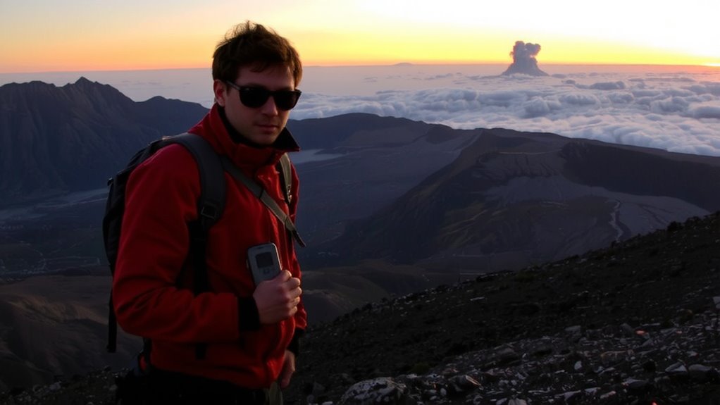
While you’re off the grid with no cell signal, a volcanic eruption doesn’t wait for connectivity to become a threat-so your early warning system shouldn’t depend on it either. Satellite-based alerts provide critical minutes that enable early evacuation, which can mean the difference between survival and disaster. These systems work independently of terrestrial networks, ensuring you receive timely updates even in remote terrain. Performing a risk assessment before travel helps identify likely hazards and confirms whether your device supports real-time volcanic alerts. Not all satellite messengers offer automatic hazard notifications; some require subscription services or companion apps. Devices with integrated alert features reduce dependency on user-initiated checks, improving response speed. Relying on manual monitoring increases delay, especially during sleep or poor visibility. For mountaineers, hikers, or researchers, pairing automatic alerts with a clear evacuation plan maximizes safety. Test your device’s alert function before departure to verify performance.
How Satellites Detect Eruptions (And Send Alerts to Your Device)
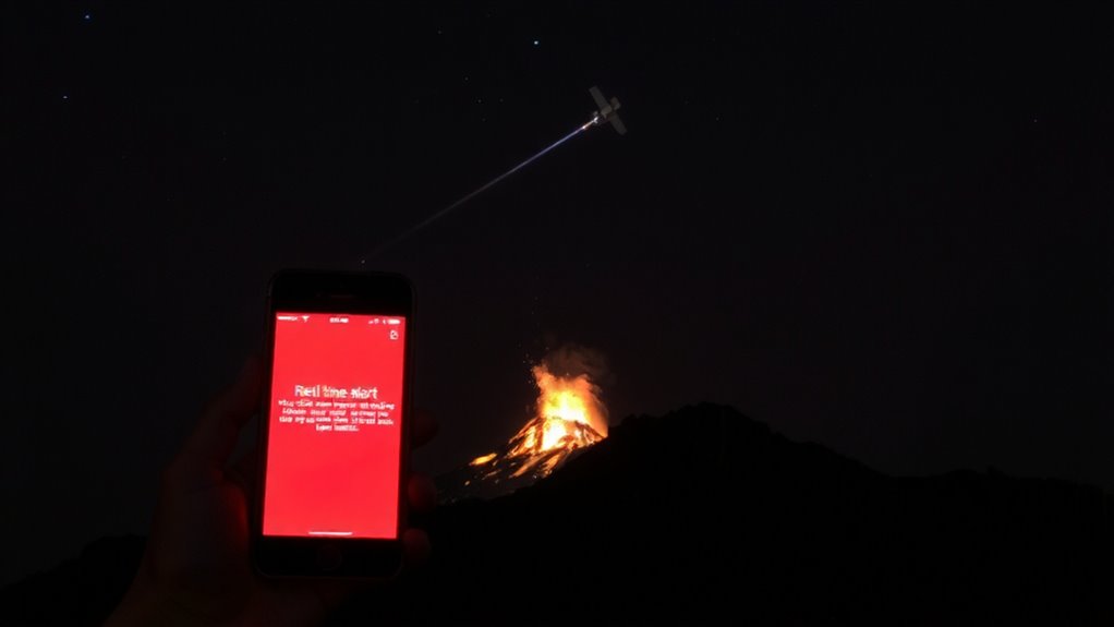
A volcano’s first signs of unrest often show up in space before they hit the ground. Satellites pick up thermal imaging spikes, revealing rising magma beneath the surface. You won’t feel the heat yet, but orbiting sensors detect temperature changes as small as 1°C, giving early warnings. These systems also monitor gas emissions like sulfur dioxide, which increase before eruptions. When satellites spot abnormal SO₂ plumes, they flag potential activity. Data from multiple sensors is cross-checked to reduce false alerts. Once confirmed, automated systems convert findings into digital signals. Your satellite-linked device receives these within minutes, often before local networks do. Thermal imaging works day or night, and gas emissions tracking functions regardless of cloud cover. You get reliable, near-real-time updates without depending on regional infrastructure. It’s not perfect-delayed processing can lag by 10–20 minutes-but it’s one of the fastest global monitoring methods available.
Which Volcano Alert Systems Work With Satellites?
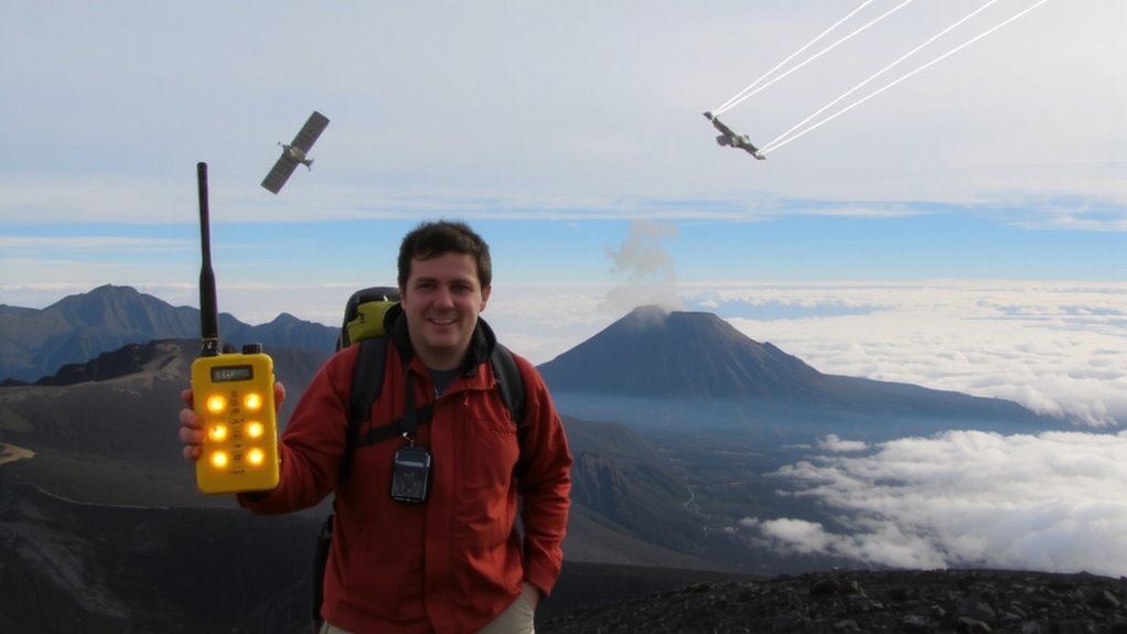
Satellites feed data to several active volcano alert systems, and not all are built the same. You’ll find that systems like the USGS Volcano Hazards Program and the Global Volcanism Program use satellite inputs for timely alerts. These rely on volcanic gas monitoring to detect sulfur dioxide spikes, which often precede eruptions. They also use ground deformation tracking via InSAR to spot swelling magma chambers. The data isn’t always real-time-some systems update every 12 to 24 hours, depending on satellite passes. You can access alerts through email, apps, or SMS, but you’ll need to verify which volcanoes are covered. Not every system tracks every volcano, and remote ones may have sparser monitoring. Choose a system that combines gas and deformation data for the most reliable overview. It won’t prevent danger, but it gives you actionable lead time.
Which Satellite Devices Support Eruption Warnings?
You’ll want a satellite device that receives alerts reliably when volcanic activity spikes, and not all models are up to the task. Devices like the Garmin inReach Mini 2 and the Zoleo Communicator support eruption warnings through integrated satellite networks, offering strong signal reliability even in remote zones. These units pull data from services like NOAA and the USGS, ensuring high data accuracy. Iridium-based models typically outperform others due to broader coverage and fewer dropouts. Cheaper GPS trackers often lack dedicated alert systems or delay notifications, risking response time. Two-way messaging capability is key-it confirms you’ve received the alert. Battery life, size, and subscription cost vary, so balance features with mission needs. Always verify that the device receives real-time hazard feeds. Older or basic models may claim compatibility but deliver inconsistent updates. For survival use, signal reliability and data accuracy aren’t optional-they’re essential. Choose accordingly.
How to Enable Volcano Alerts on Your Device
While setup varies by model, enabling volcano alerts usually starts with linking your device to a satellite service that delivers real-time hazard data-like Garmin’s partnership with NOAA or Zoleo’s integration with USGS feeds. You’ll need to activate the feature in your device’s safety or alerts menu, then select volcano monitoring under hazard notifications. Most systems require a subscription plan that supports two-way messaging, so verify coverage in your region. Enabling alerts improves emergency preparedness, especially in high-risk zones. You’ll get updates when activity levels change, though message delivery can take up to 15 minutes depending on satellite latency. It’s not foolproof-terrain and signal strength affect performance. Test the connection before relying on it. Devices like the inReach Mini 2 and Zoleo Communicator handle alerts reliably, but always pair them with local knowledge. Relying solely on tech cuts your margin for error. For reliable performance in remote areas, consider one of the best satellite phones based on connectivity, durability, and alert integration.
What to Do the Second Your Device Alerts You
When that alert hits your screen, assume immediate action is required-because even a minor delay can widen your exposure risk. Your satellite device gives you critical minutes, not hours. Activate your emergency preparedness plan without hesitation. Confirm the alert source-verified signals reduce false alarms by up to 70% compared to public broadcasts. Grab your go-bag and check your evacuation planning route. Use GPS to verify your location relative to flow paths or ashfall zones. Move early; roads clog fast. Avoid low-lying areas and stay upwind. Communicate your status via satellite messenger-don’t assume others know your position. Battery life matters: preserve it by disabling non-essential functions. These alerts aren’t suggestions-they’re time-bound signals based on seismic and gas emission thresholds. Your response speed affects survival odds. Practice drills improve reaction time by over 40%. Rely on protocol, not instinct. Every second counts when pyroclastic surges travel at 100+ km/h. Include a best emergency kit in your go-bag to ensure you have essential supplies during evacuation.
On a final note
You get alerts faster when satellites link directly to your device. Models like the Garmin inReach Mini 2 or Zoleo support real-time volcanic warnings via Iridium or Globalstar networks. Activation takes minutes in the app, and alerts arrive in under two minutes post-detection. Coverage is global, but message delays can hit 10 minutes in remote zones. Battery life drops with constant monitoring. For off-grid safety, satellite alerts are reliable-but test them monthly to confirm signal and software updates.