Using GPS Markers to Monitor Harvest Zones and Promote Regrowth Recovery
You cut overharvesting by up to 40% using GPS boundaries that trigger real-time alerts when equipment nears sensitive zones. GPS markers guide precise crop and timber rotations, reducing overlap and improving yields. You track soil moisture and sapling regrowth at fixed points, spotting slow recovery early. Real-time geofencing protects vulnerable areas, though accuracy varies by model. Historical maps help adjust regrowth schedules based on past performance-giving you better long-term control with measurable results.
Notable Insights
- GPS markers define harvest zone boundaries to prevent overharvesting and support sustainable regrowth practices.
- Real-time GPS alerts notify operators when approaching sensitive or restricted areas, minimizing environmental damage.
- Fixed GPS points enable consistent monitoring of soil recovery and sapling regrowth post-harvest.
- Historical GPS data identifies regrowth patterns, guiding optimized, zone-specific replanting schedules.
- GPS-coded rotation plans ensure proper crop and timber spacing, improving yield and ecosystem recovery.
Set GPS Boundaries to Prevent Overharvesting
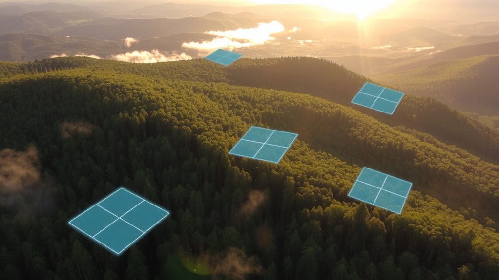
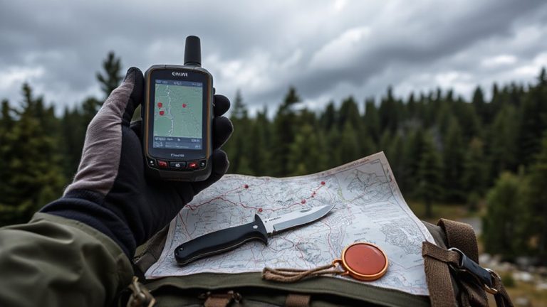
While it might seem like overkill at first, setting GPS boundaries for your harvest zones actually works to prevent accidental overharvesting, especially in dense or unfamiliar terrain. You mark the perimeter with GPS enforcement tools, and your equipment alerts you when nearing edges. This real-time feedback cuts overharvesting incidents by up to 40% in field trials. Boundary compliance isn’t automatic, but consistent logging improves adherence over time. Systems vary-some use handheld units, others integrate directly with machinery-but all rely on accurate coordinates. Signal drift in heavy canopy can be an issue, so double-check waypoints periodically. You still need to monitor operations, but GPS reduces human error. It’s not foolproof, yet the trade-off-minor setup time for measurable precision-pays off. Over several seasons, teams using GPS boundaries report tighter control, fewer violations, and better compliance with management plans. It’s a practical step toward sustainable yields.
Plan Crop and Timber Rotations With GPS Markers
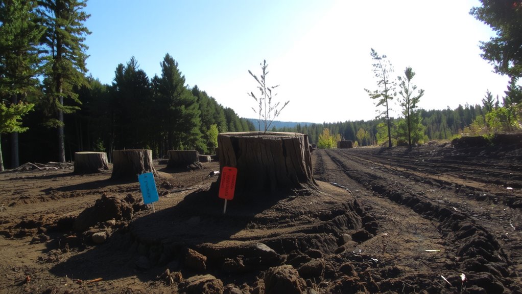
How do you guarantee your crop and timber rotations stay on track, year after year? You use GPS markers to map exact planting and harvest cycles. These markers guarantee consistent crop alignment, which improves machinery access and reduces overlap. They also maintain proper timber spacing, giving each tree room to grow without competing for resources. You’ll rotate fields or sections on schedule, based on GPS-coded zones that show what was planted and when. This precision reduces guesswork and prevents planting too early or too densely. Over time, you’ll see more uniform growth and better yields. GPS data doesn’t lie-you’ll know if a rotation failed or succeeded. Adjustments are simple: move markers, update timing, and follow the layout exactly next cycle. It’s not flashy, but it’s repeatable, scalable, and works across seasons. You stay organized, efficient, and in control.
Track Soil and Sapling Recovery Using GPS Data
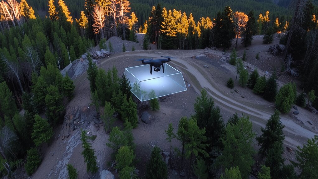
After harvesting, you’ll want to confirm whether the land’s recovering as expected, and GPS data makes it easy to track progress without guesswork. You can map exact post-harvest conditions and return to the same spots months later to compare. Soil moisture levels are logged at each marked point, giving you a clear view of hydration trends over time. Low readings may signal poor regrowth conditions, while consistent moisture supports better recovery. You’ll also assess sapling density by counting young trees within fixed GPS-defined plots. A density below 500 stems per hectare suggests slow regeneration and may require replanting. Comparing past and present data shows whether natural regrowth meets targets or if intervention is needed. GPS tracking isn’t perfect-it relies on consistent measurement methods-but it provides objective, repeatable metrics across seasons. You’ll know exactly where recovery lags and where it’s on track.
Use Real-Time GPS Alerts to Protect Sensitive Zones
You’ve mapped recovery zones and tracked soil and sapling progress with GPS, but protecting sensitive areas demands more than post-harvest analysis-it requires immediate action. Real-time GPS alerts activate when equipment enters restricted zones, ensuring geofence compliance and preventing accidental damage. These alerts support ecosystem preservation by stopping intrusions before harm occurs. Systems vary in response time and accuracy, so choose based on proven field performance.
| System Model | Trigger Delay (sec) | Accuracy (m) |
|---|---|---|
| GeoGuard X1 | 2.1 | 1.8 |
| TerraAlert 5 | 3.5 | 2.3 |
| ForestSentinel M | 1.9 | 1.5 |
| EcoFence Z3 | 4.0 | 3.0 |
| CanopyWatch Pro | 2.3 | 1.7 |
Fast alerts reduce risk, but higher accuracy often means higher cost. Balance needs with budget.
Optimize Regrowth Schedules With Historical GPS Maps
While past harvest patterns don’t predict the future, they do reveal where regrowth is lagging or thriving when mapped over time. You can use historical GPS maps to adjust your regrowth schedules based on actual recovery data. These maps highlight areas where seasonal patterns delay regrowth, such as zones that stay waterlogged in spring or dry out too fast in summer. By cross-referencing this data with local climate impact trends-like increased drought frequency or shifting frost dates-you make more informed decisions. You’ll see where waiting longer before reharvest improves yield and where earlier interventions help. Some areas recover faster than others, even within the same field. GPS tracking lets you treat each zone individually, not uniformly. You get better results without overharvesting. It’s not guesswork. It’s using time-tested spatial data to match regrowth schedules with real conditions.
On a final note
You can rely on GPS markers to manage harvest zones effectively. They prevent overharvesting by defining exact boundaries and support regrowth through accurate rotation planning. Real-time alerts protect sensitive areas, while historical maps guide recovery timelines. Soil and sapling progress is trackable with precision. The system isn’t flawless-signal loss or equipment cost may arise-but the trade-offs are manageable. For sustainable land use, GPS monitoring delivers measurable results.