Regional Risks Revealed: A State-by-State Guide to Disaster Preparedness Challenges
You face different threats depending on where you live. Coastal areas demand hurricane prep-know evacuation routes and keep a 72-hour kit in your car. Out West, wildfires mean creating 100 feet of defensible space and using fire-resistant roofing. Tornado Alley requires a FEMA-approved safe room or interior shelter. In the North, retrofit for earthquakes and insulate against winter storms. Storm surge isn’t covered by standard flood insurance. Mobile homes offer little tornado protection. Each region’s risks call for specific, tested gear-from HEPA filters during smoke events to NOAA Weather Radios for early warnings. Preparing now cuts risk later.
Notable Insights
- Hazard maps identify region-specific risks like earthquakes, wildfires, and floods, guiding localized preparedness strategies.
- Coastal states face hurricane threats where storm surge poses the greatest danger, requiring evacuation plans and flood insurance.
- Western U.S. regions combat wildfires with defensible space, fire-resistant materials, and air quality protection during smoke events.
- Tornado Alley states need immediate response plans, as warnings allow only minutes to reach FEMA-approved shelters or safe rooms.
- Northern states prepare for earthquakes and winter storms through seismic retrofits, insulated housing, and portable heating solutions.
Find Your State’s Biggest Disaster Risks
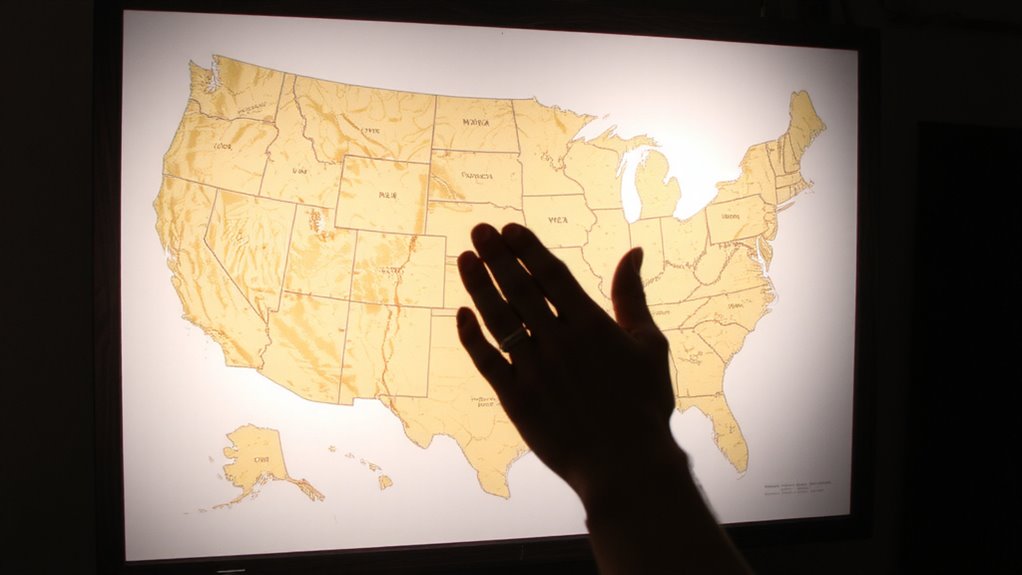
Where should you start when figuring out what disasters could hit your home? Look up your state’s hazard maps-they show risks like earthquakes, wildfires, or tornadoes specific to your area. Pay close attention to flood zones, especially if you live near rivers or low-lying regions; even moderate rain can cause trouble in high-risk areas. Urban sprawl increases runoff and overwhelms drainage, raising flash flood potential in suburbs and expanding cities. Check local planning reports to see how land development affects risk exposure. These factors aren’t just predictions-they’re based on decades of data. States update this info regularly using flood models and growth patterns. Knowing your zone helps you decide on insurance, retrofitting, or evacuation plans. Don’t guess-use official sources like FEMA flood maps or state emergency management sites. Being informed isn’t about fear. It’s about making practical choices for safety and resilience based on where you live. A reliable AM/FM weather radio can provide critical updates during emergencies when power and internet are down.
How to Prepare for Hurricanes and Coastal Flooding
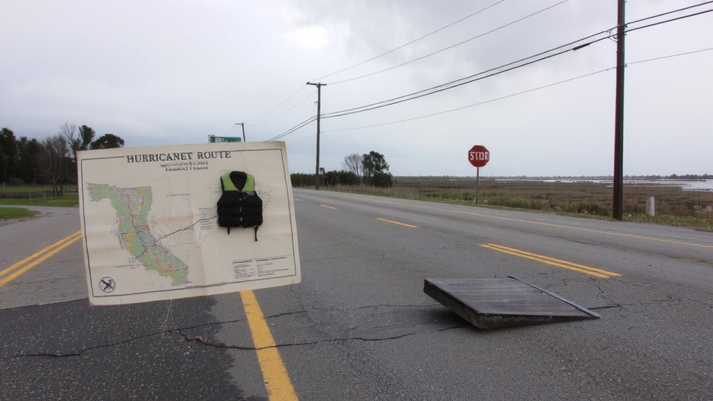
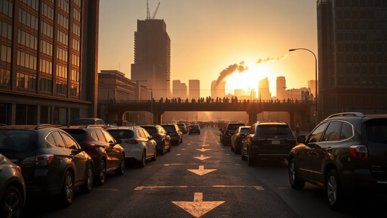
When hurricane season approaches, you’ll want to act before the warnings start, because waiting until the storm is close reduces your options and increases risk. Know your local evacuation routes and plan multiple paths inland-traffic congestion often delays escape. Storm surge is the deadliest threat, capable of flooding coastal areas with 10 or more feet of water, so don’t rely on standard flood insurance; most policies exclude surge damage. Secure windows with storm shutters, not tape, and anchor outdoor items that wind can turn into projectiles. Keep a 72-hour emergency kit in your car: water (one gallon per person per day), non-perishable food, meds, and a charged power bank. If authorities issue an evacuation order, leave immediately-waiting risks being trapped by rising water. Elevate critical utilities if you live in a low-lying zone. Preparation cuts your danger more than any single product. A well-stocked best emergency kits can make a critical difference during extended power outages or delayed rescues.
Get Ready for Wildfires in the Western U.S
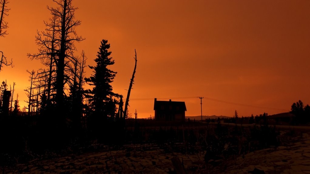
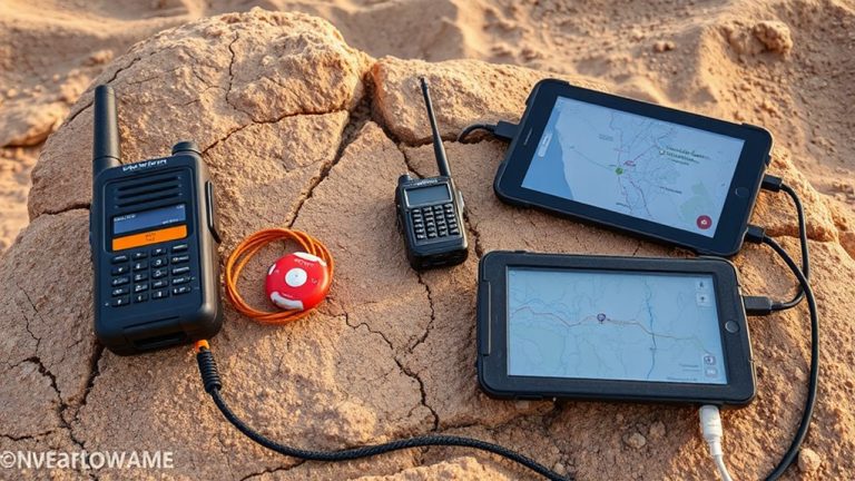
You can’t stop a wildfire once it starts, but you can reduce your risk with planning and the right gear. Evacuation planning is critical-know your routes, keep your go-bag stocked with N95 masks, water, and documents, and practice drills every six months. Homes in fire-prone zones should have 100 feet of defensible space; remove dry brush and use fire-resistant materials like Class A roofing. A battery-powered weather radio helps monitor emergency alerts. Air quality monitoring matters-use a portable sensor or check local AQI reports daily during fire season. When PM2.5 exceeds 150, stay indoors and run a HEPA air purifier. Vehicles should carry a fire extinguisher and emergency blankets rated to 300°F. Satellite messengers, like Garmin inReach, improve communication when cell networks fail. These tools don’t guarantee safety, but they improve response time and survival odds when seconds count.
Stay Safe During Tornadoes in Tornado Alley
Why do some shelters hold up when winds scream at 200 mph while others don’t? It comes down to construction standards and shelter planning. FEMA-approved safe rooms use reinforced concrete or steel and are anchored to resist uplift. Those without proper reinforcement often fail. You need a plan that includes a designated, windowless interior room on the lowest floor. Tornado tracking gives you minutes, not hours, of warning, so acting fast matters. Mobile homes offer almost no protection, even with tiedowns. A basement or storm shelter with an ICC-500 rating provides the best defense. If you’re in a community shelter, verify its certification. Reliable tornado tracking systems, like NOAA Weather Radio, provide alerts from the National Weather Service. Don’t rely on sirens alone. Shelter planning means knowing your routes, having supplies ready, and practicing drills. It’s not about fear-it’s about making sure you survive.
Prepare for Earthquakes and Winter Storms in the North
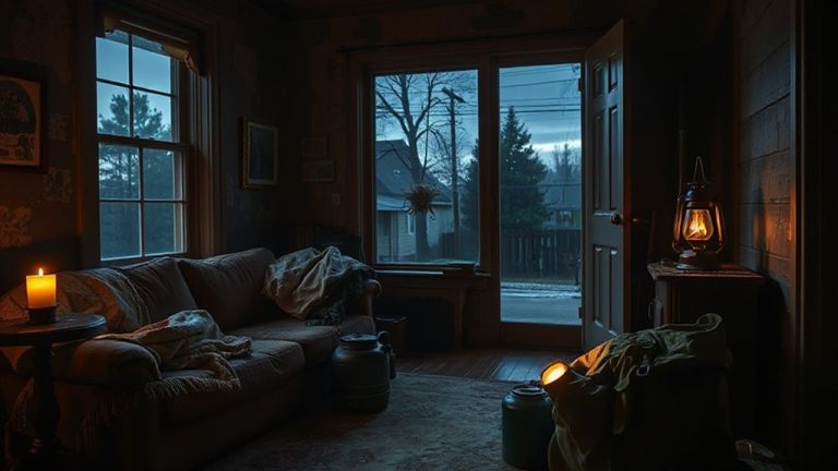
How prepared are you when the ground starts shaking or snow piles up to three feet in 24 hours? In the northern U.S., earthquakes and winter storms are real threats. Seismic retrofitting boosts your home’s resilience by reinforcing foundations and connections-tested models show up to 70% less structural damage during moderate quakes. It’s not foolproof, but it reduces risk. When storms hit, power fails. Emergency heating becomes critical. Portable propane heaters produce 5,000–8,000 BTUs, warming small spaces for 6–8 hours per tank, but require ventilation. Electric space heaters are safer indoors but depend on power backups. A 1,000-watt generator runs a heater for about 6 hours on 5 gallons of gas. Insulated windows and thermal curtains cut heat loss by up to 30%. Combine retrofitting, heat sources, and insulation-your best defense against freezing temps and seismic shocks. For extended outages, consider a home propane generator, which offers reliable, clean-burning power with best home propane generators available for whole-house or essential circuit support.
On a final note
You know your state’s risks-now act on them. A $200 emergency kit beats no kit when the grid fails. Fire-prone areas need respirators; flood zones need sandbags and sump pumps. Tornado shelters save lives in seconds. Earthquake straps prevent tip-overs. No single solution fits all-your region dictates your prep. Prioritize based on threat frequency and damage history. Planning cuts recovery time. Test supplies every six months. Preparedness isn’t guesswork-it’s gear, practice, and timing.